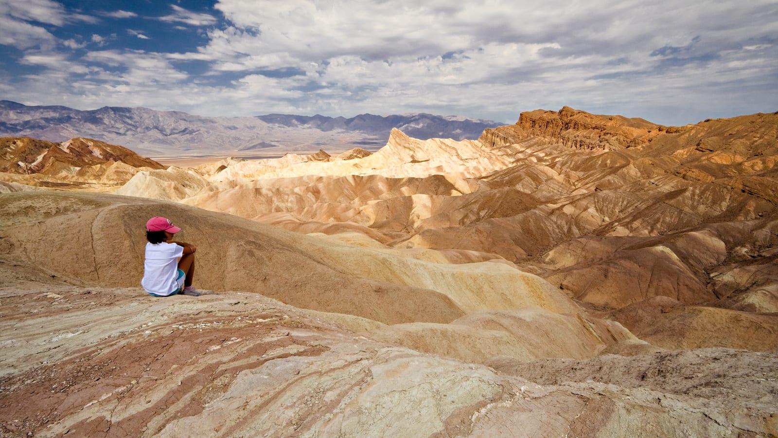
Death Valley National Park Fossil Hunting Guide
Image: Luca Galuzzi (CC BY-SA 2.5)
Death Valley preserves a fossil record spanning more than a billion years, from Precambrian stromatolites and Cambrian trilobites in the mountains to Pliocene animal trackways in the Copper Canyon badlands. It is a national park, so every fossil is protected and none may be collected.
By Edward Chen · Updated 1 August 2026
Introduction
Death Valley National Park holds a fossil record that reaches back more than a billion years, far longer than almost anywhere else you can visit. The mountains around the valley expose Precambrian stromatolites and Cambrian marine rocks full of trilobites, while the younger basin fill preserves Pliocene animal footprints in the Copper Canyon badlands.
This is a national park, which changes how you approach it. Every fossil here is protected by federal law, and none of it may be collected. The park has publicized thefts of fossils in recent years, so the expectation is clear. Come to find, photograph, and learn, and leave everything exactly where it lies.
Location and Directions
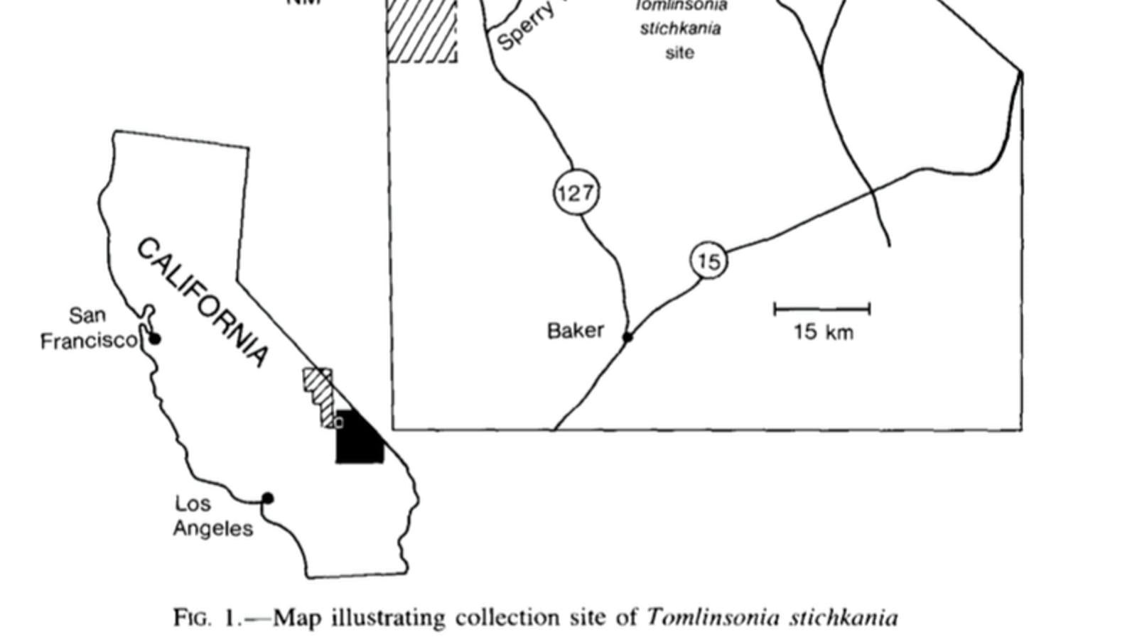
Death Valley National Park straddles the California and Nevada line in Inyo County, centered near 36.51°N, 117.08°W, with the main visitor center at Furnace Creek off California State Route 190. The park is vast, roughly 3.4 million acres, and its fossil-bearing rocks are scattered across remote canyons and ranges rather than gathered at one trailhead.
Start at the Furnace Creek visitor center for maps, road conditions, and current guidance on where fossils can be seen. Distances between services are long, so fuel up and carry plenty of water before heading out.
 Photo: Nadia Jamnik vanijah, CC0, via Wikimedia Commons
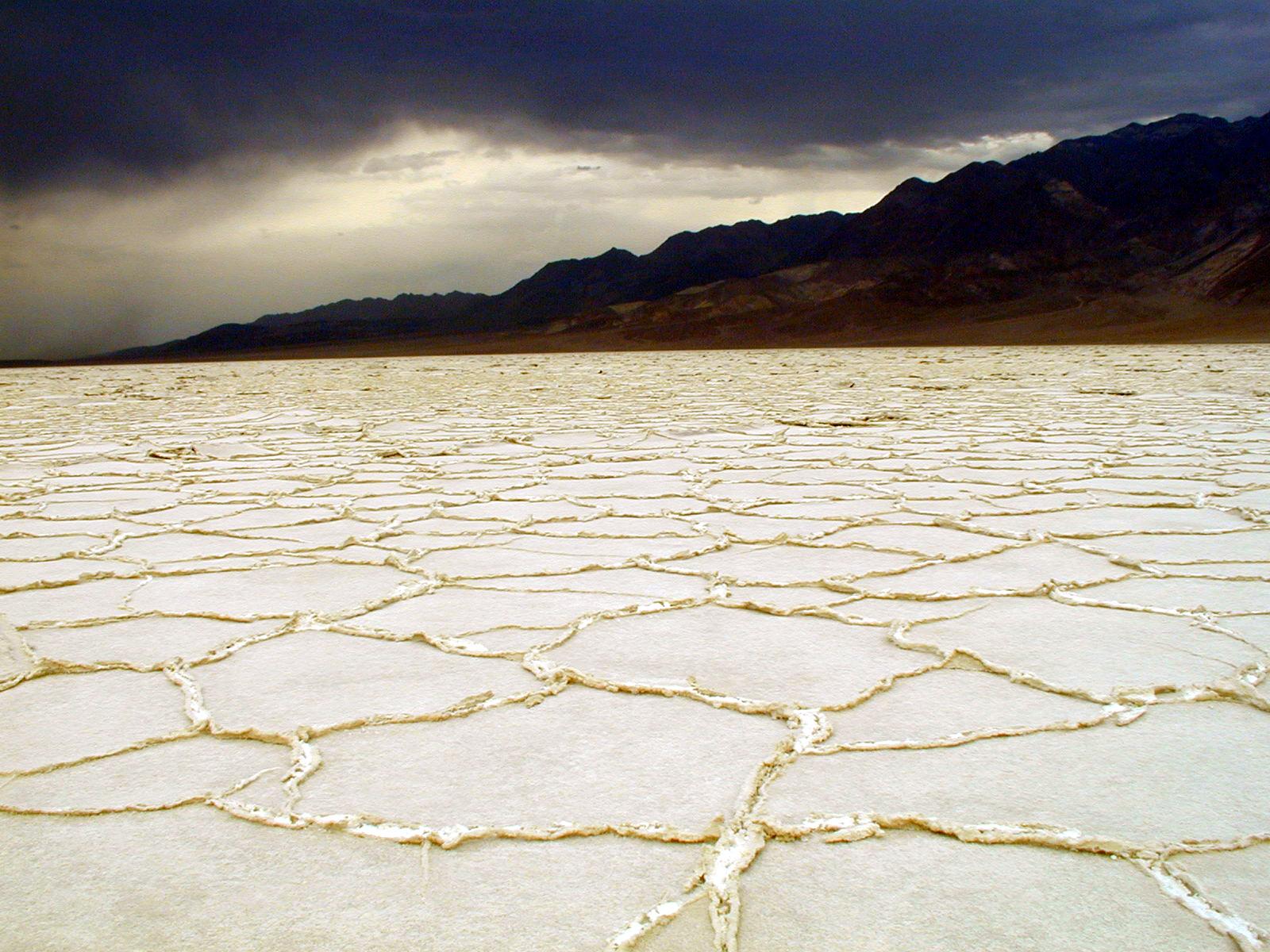 Photo: NPS photo, public domain, via National Park Service
What Fossils You'll Find
The park's fossils span three very different chapters.
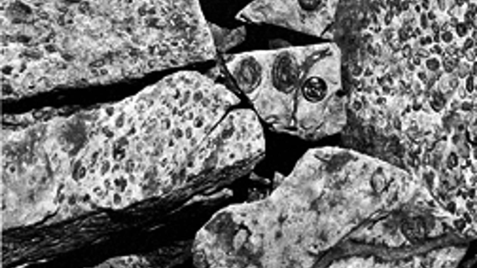
Stromatolites, the layered mounds built by ancient microbial mats, appear in the Precambrian carbonate rocks of the ranges and are among the oldest fossils anywhere. Trilobites and other marine invertebrates occur in the Cambrian rocks that record an early sea, with many species reported from the region. Trackways, the fossil footprints of camels, horses, birds, and cats, are preserved in the Pliocene lakebed mud of the Copper Canyon area, made about 3 to 5 million years ago when the basin held a shallow lake.
The stromatolites are the ones most visitors underestimate. They are not remains of an animal but structures built by mats of cyanobacteria, which trapped sediment layer by layer as they grew. In cross-section they show as fine concentric or wavy banding in the limestone, and in plan view as rounded cabbage-like heads. For most of Earth's history these were the most conspicuous life on the planet, and the rocks around Death Valley preserve them from a time before animals existed at all.
The trackways are the most fragile of these, and the hardest to replace. A footprint is not an object but a surface, a moment when an animal put its foot down in soft lakeside mud that then dried and hardened. Camel, horse, bird, and cat tracks have all been recorded from the Copper Canyon area, and in places they run as continuous trails rather than isolated prints, which records how an animal moved rather than merely that it passed.
These are fossils to find with your eyes and camera. The trackways in particular are fragile surface features that are easily destroyed by touch or foot traffic, and a single careless boot can remove something that survived three million years.
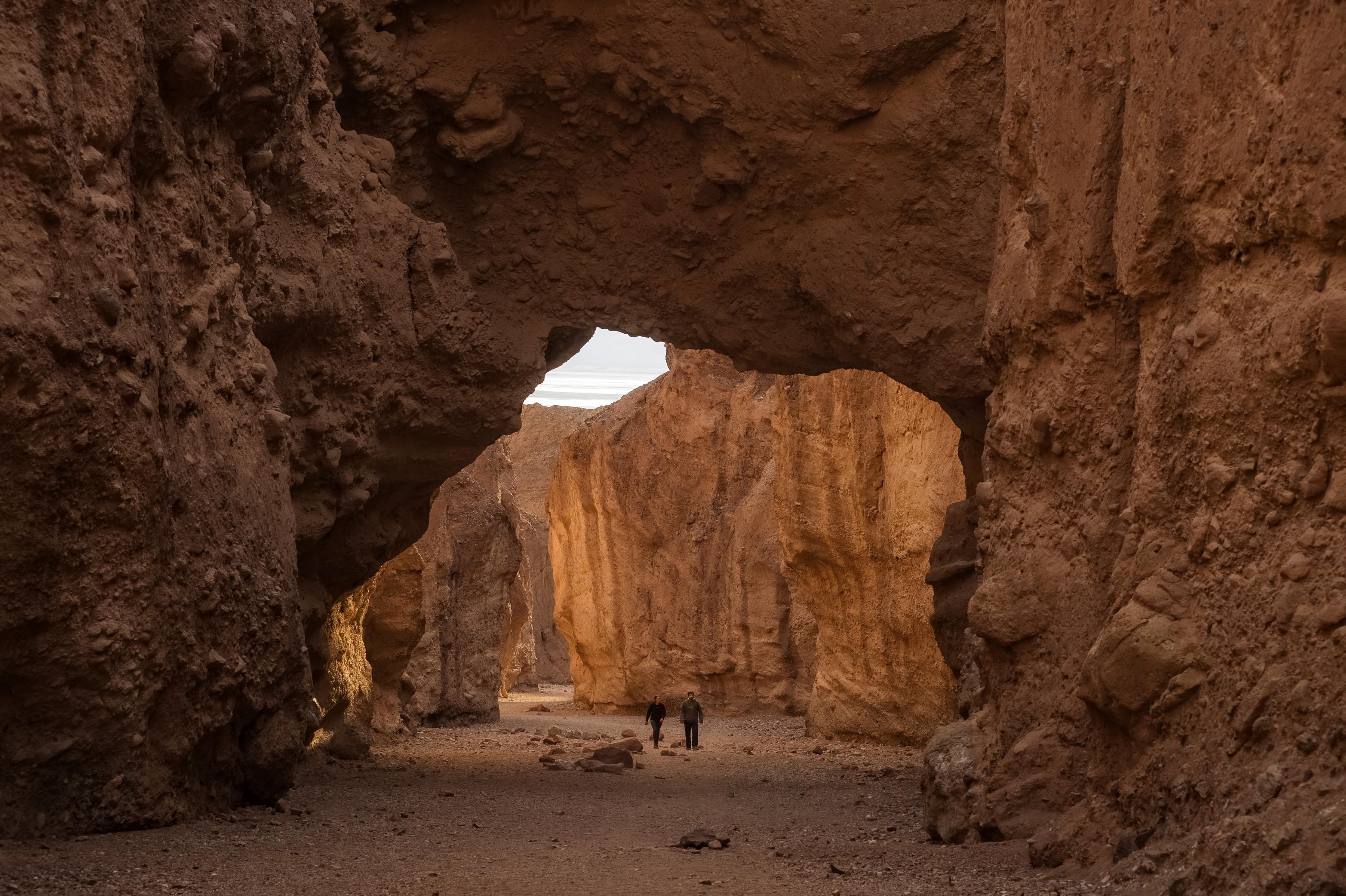 Photo: NPS, public domain, via National Park Service
Geologic History
Death Valley exposes an unusually complete slice of Earth history because faulting has tilted and lifted rocks of many ages side by side. The oldest carbonate units formed in shallow Precambrian seas where microbial mats built stromatolites. The Cambrian rocks record a later sea full of trilobites and other early animals.
Much later, as the modern basin pulled apart along active faults, streams and lakes filled it with sediment. The soft lakebed muds of the Copper Canyon Formation captured the footprints of Pliocene animals before hardening, and continued erosion now re-exposes them in the badlands.
The reason the record is so complete comes down to how this valley formed. Death Valley is a pull-apart basin, dropping between faults while the ranges on either side rise. That vertical movement tilts and lifts blocks of crust, so rocks that would normally lie buried thousands of metres beneath younger cover are stood on end and exposed at the surface. Driving across the park takes you past rocks spanning more than a billion years within a few tens of miles, which is why geologists use it as a teaching landscape as much as a research one.
It is also worth registering what the Pliocene scene actually was. The trackways were made beside a lake, by camels and horses walking on wet mud in a landscape with standing water and vegetation. The hottest, driest place in North America was, three million years ago, somewhere animals came to drink.
 Photo: Greg Willis, CC BY-SA 2.0, via Wikimedia Commons
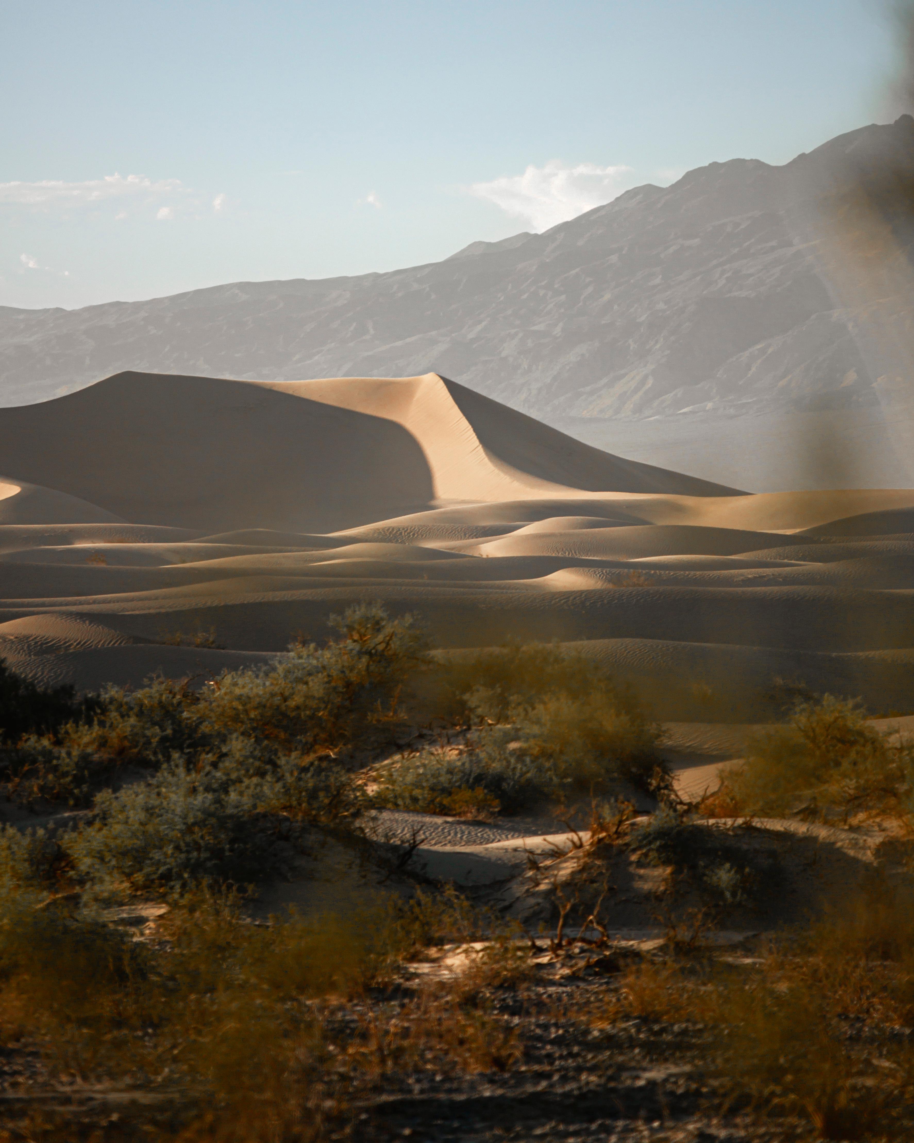 Photo: NPS, public domain, via National Park Service
Collecting Rules and Regulations
Collecting fossils, rocks, minerals, plants, or artifacts is prohibited throughout Death Valley National Park. This applies to everything, from a chip of trilobite rock to a single footprint slab. Federal law protects paleontological resources on national park land, and violations are prosecuted.
Treat the park as a viewing and photography site only. If you find something you think is important, note the location, photograph it in place, and report it to a ranger or the visitor center rather than disturbing it.
Safety
Death Valley is one of the hottest and driest places on Earth, and its hazards have killed visitors. Treat the advice below as operational rather than cautionary.
Heat. Summer temperatures on the valley floor regularly exceed 120 degrees Fahrenheit, and the park records some of the highest air temperatures ever measured anywhere. Plan fossil viewing for the cooler months, roughly November through March. In warm weather, stay near the vehicle at low elevations, do not hike after mid-morning, and understand that heat illness impairs judgement before it disables you. Carry far more water than you think you need, several litres per person per day, and keep a reserve in the vehicle.
Distance and isolation. The park is roughly 3.4 million acres with very few services. Fuel is expensive and available at only a handful of points, distances between them are long, and there is no cell signal across most of the park. Fill the tank whenever you can, carry a paper map, and tell someone your route and expected return.
Backcountry roads. Many fossil localities lie down rough unpaved roads where a high-clearance or four-wheel-drive vehicle is needed. Check road conditions at the visitor centre before setting out, since roads close after storms and stay closed for a long time. A breakdown on a remote road in this park is a serious situation, so carry recovery gear, a full-size spare, and extra water.
Flash floods. Canyons flood fast during storms, including from rain falling on high ground miles away that you cannot see. Do not enter narrow canyons when weather threatens, and get to high ground if water starts running.
Stay on durable surfaces. Beyond the personal risk, this matters for the fossils. Trackway surfaces and desert crusts are destroyed by foot traffic and do not recover.
Sources
https://home.nps.gov/deva/learn/nature/geologicformations.htm https://www.nps.gov/deva/learn/management/rules-and-regulations.htm https://www.nps.gov/subjects/fossils/fossil-protection.htm
.jpg)
.jpg)