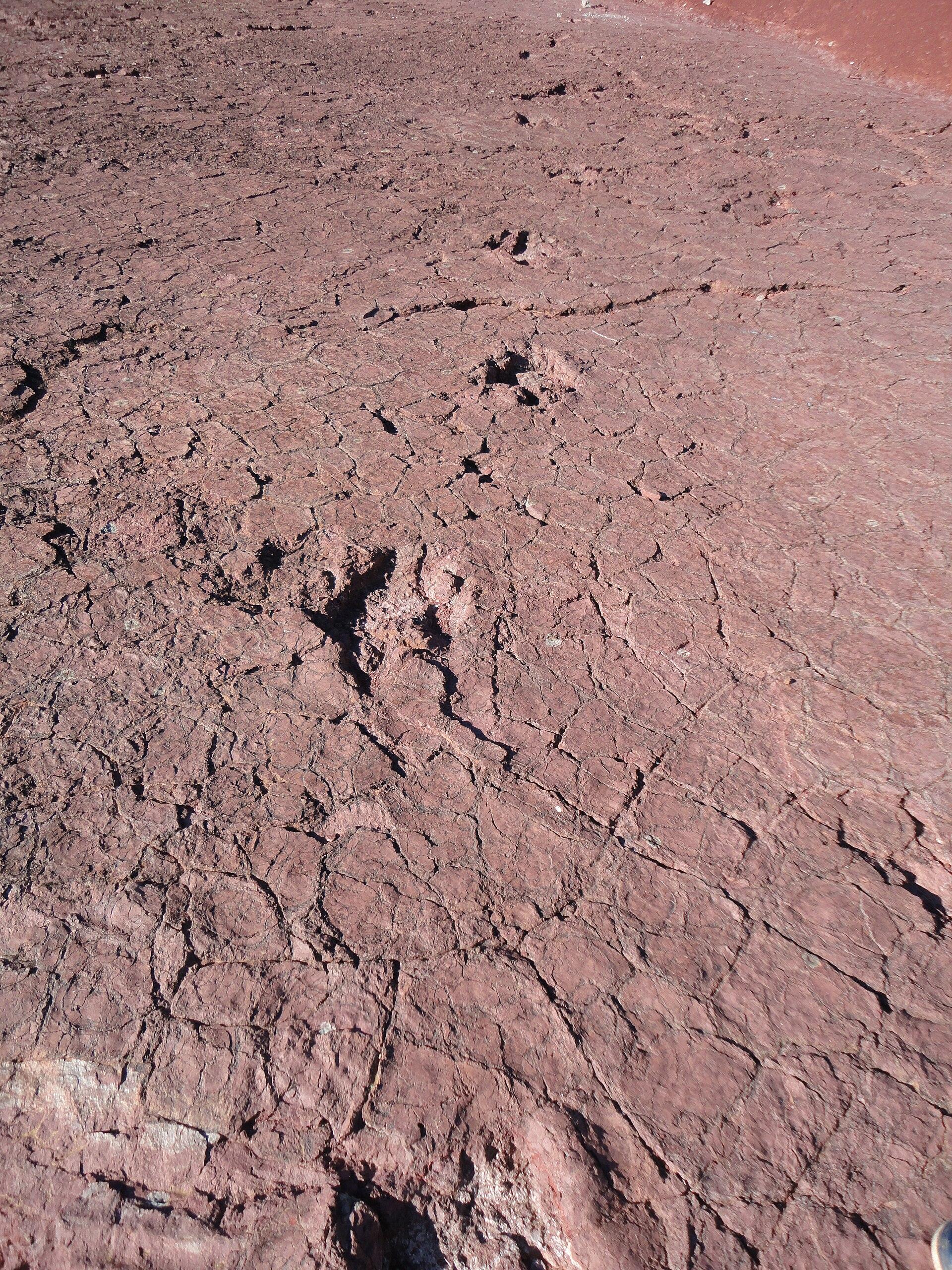
Iouaridène Dinosaur Tracks, Demnate Fossil Hunting Guide
Image: Abakhou (CC BY-SA 3.0)
An Upper Jurassic trackway site in the Moroccan High Atlas holding more than twenty track levels. The Breviparopus sauropod trackway, found in 1979, is among the longest known anywhere, and the ground is open to anyone who can reach it.
By Edward Chen · Published 14 September 2026
Introduction
The Iouaridène syncline is a broad basin of red Jurassic rock in the central High Atlas, south of Demnate and near the village of Aït Blal. Its bedding surfaces carry dinosaur footprints in exceptional numbers.
Published survey work records at least 21 trampled levels in the formation, and probably more than 1,500 tracks across them. Of those, more than 600 footprints in over 100 trackways have been mapped and analysed in detail.
Footprints were first reported around Demnate in 1937. The Breviparopus trackway itself was found in the spring of 1979 and described by Dutuit and Ouazzou the following year.
That density makes the syncline one of the most important Jurassic tracksites in Africa.
The site's best known feature is the reference trackway of Breviparopus taghbaloutensis. The 90 metre sauropod trackway was found in the spring of 1979 and described by Dutuit and Ouazzou in 1980. Popular accounts long treated its maker as one of the largest dinosaurs that ever lived.
Those size claims came from a misreading. The 115 centimetre figure covers the combined fore and hind print, not a single footprint. The animal was large, but not the record-breaker the older books describe.
Theropod tracks are abundant alongside the sauropods, including unusual tetradactyl forms that have been the subject of recent published study.
Location and Directions
The site is in Azilal Province, in the Béni Mellal-Khénifra region, roughly 12 kilometres east of Demnate and about 130 kilometres east of Marrakesh.
GPS: 31.7317°N, 6.9048°W.
Marrakesh is the practical base. The drive to Demnate is straightforward on sealed road, and the route onward towards Aït Blal is mountain road that deteriorates.
A vehicle with clearance is advisable, and a four-wheel drive is better. Some approaches require walking the last stretch.
The tracks are spread across the syncline rather than gathered at one marked stop, and there is no visitor centre or formal entrance. Finding specific surfaces without help is difficult.
Local guides in Demnate and the nearby villages know the ground. Hiring one is by far the most reliable way to see the main surfaces. It also puts money into the communities that live beside the site.
Note that the much-visited Ait Blal and Imi n'Ifri areas are sometimes conflated in tourist material. Ask specifically about the Iouaridène track surfaces.
What Fossils You'll Find
Everything here is a trace fossil. There are no bones to look for, and nothing to collect.
Sauropod tracks appear as large rounded depressions, with the manus impressions smaller and often crescent-shaped in front of the pes. On a good surface an entire trackway can be followed for tens of metres.
Theropod tracks are three-toed with sharp claw marks, and they range widely in size. Four-toed prints also occur, and they are rarer than the three-toed ones.
Probable small ornithopod tracks occur, and possible stegosaur tracks have been reported. Sauropods range from medium-sized animals to very large ones.
Sedimentary structures accompany the tracks. Ripple marks, mud cracks and raindrop impressions all occur, and together they show shallow water drying between floods.
Light matters more than anything else. Low sun in the early morning or late afternoon throws shadows into the depressions and makes tracks visible that are almost invisible at midday.
Geologic History
The age of these beds is disputed, and this page states one side of a live disagreement. The 2011 study of the trackways argues for the Oxfordian to Kimmeridgian of the Late Jurassic. Other published work puts the Iouaridène Formation as young as the Early Cretaceous. Treat the dates here as the Late Jurassic reading rather than a settled figure.
The Iouaridène Formation is Upper Jurassic, Oxfordian to Kimmeridgian in age, roughly 157 to 152 million years ago. It sits in a sequence of red beds, between the Guettioua Formation below and the Jebel Sidal Formation above.
The basin lay on the northern margin of Gondwana, close to the western end of the Tethys Ocean. The environment was a broad coastal floodplain with shallow lakes and mudflats under a seasonally dry climate.
Red beds formed as iron oxidised in that setting. Animals crossed the mud when it was firm enough to hold an impression and soft enough to take one. A later flood then covered the surface with sand and preserved it.
That narrow window explains why track surfaces stack through the formation rather than appearing at one horizon. The same conditions returned again and again.
The High Atlas itself rose much later, during the Cenozoic collision between Africa and Europe. That uplift tilted the beds and brought the track surfaces to daylight.
Collecting Rules and Regulations
Do not attempt to remove a footprint. Morocco protects its geological heritage, and cutting a track out of bedrock destroys the trackway around it.
There is no entrance fee and no formal management at most surfaces, which places the responsibility on visitors.
Do not walk across track surfaces in hard boots, and never hammer or chalk them. Outlining tracks with chalk or paint damages the rock and ruins photographs for everyone afterwards.
Morocco has a large commercial fossil trade, and material sold at roadside stalls is often composite or outright fake. Buying it is a separate matter from this site, but be aware of what you are being offered.
Respect the villages. Ask before you photograph people, and ask before you cross cultivated land.
Safety
The High Atlas is remote country. Mobile coverage is poor and help is a long way off.
Summer heat on open red rock is severe. Carry far more water than you expect to need, and avoid the middle of the day.
Flash floods happen in the wadis after mountain rain, including rain you cannot see falling upstream. Do not camp in a dry streambed.
Mountain roads are narrow with steep drops and no barriers. Drive slowly and avoid driving after dark.
Winter brings snow at altitude and can close passes.
Tell someone your route before you go.
Sources
https://en.wikipedia.org/wiki/Iouaridene_Formation https://en.wikipedia.org/wiki/Breviparopus https://journals.plos.org/plosone/ https://en.wikipedia.org/wiki/Demnate
Nearby sites
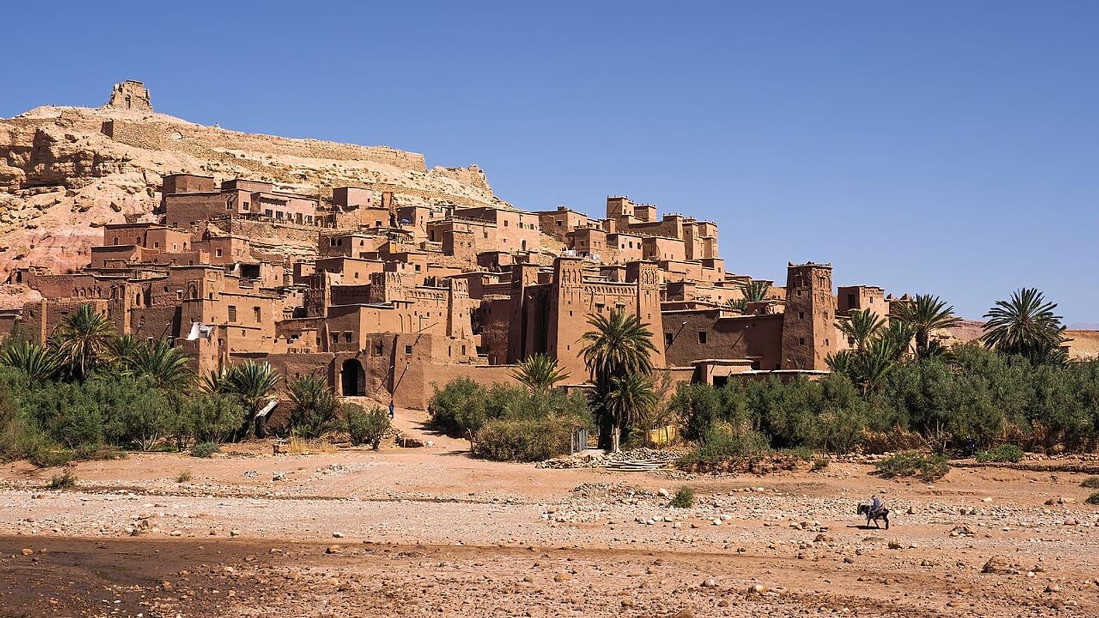 Ait Benhaddou Echinoid Site Ouarzazate Fossil Hunting GuideCretaceous echinoids, Brachiopods
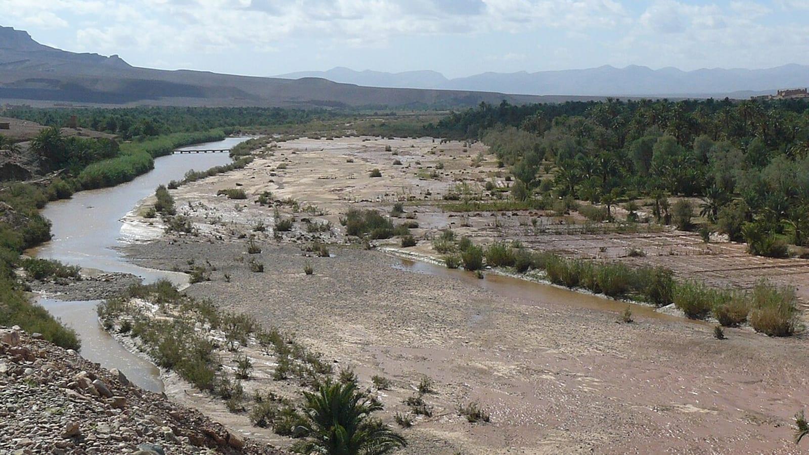 Draa Valley Ordovician Trilobite Site Agdz Fossil Hunting GuideGiant trilobites, Brachiopods
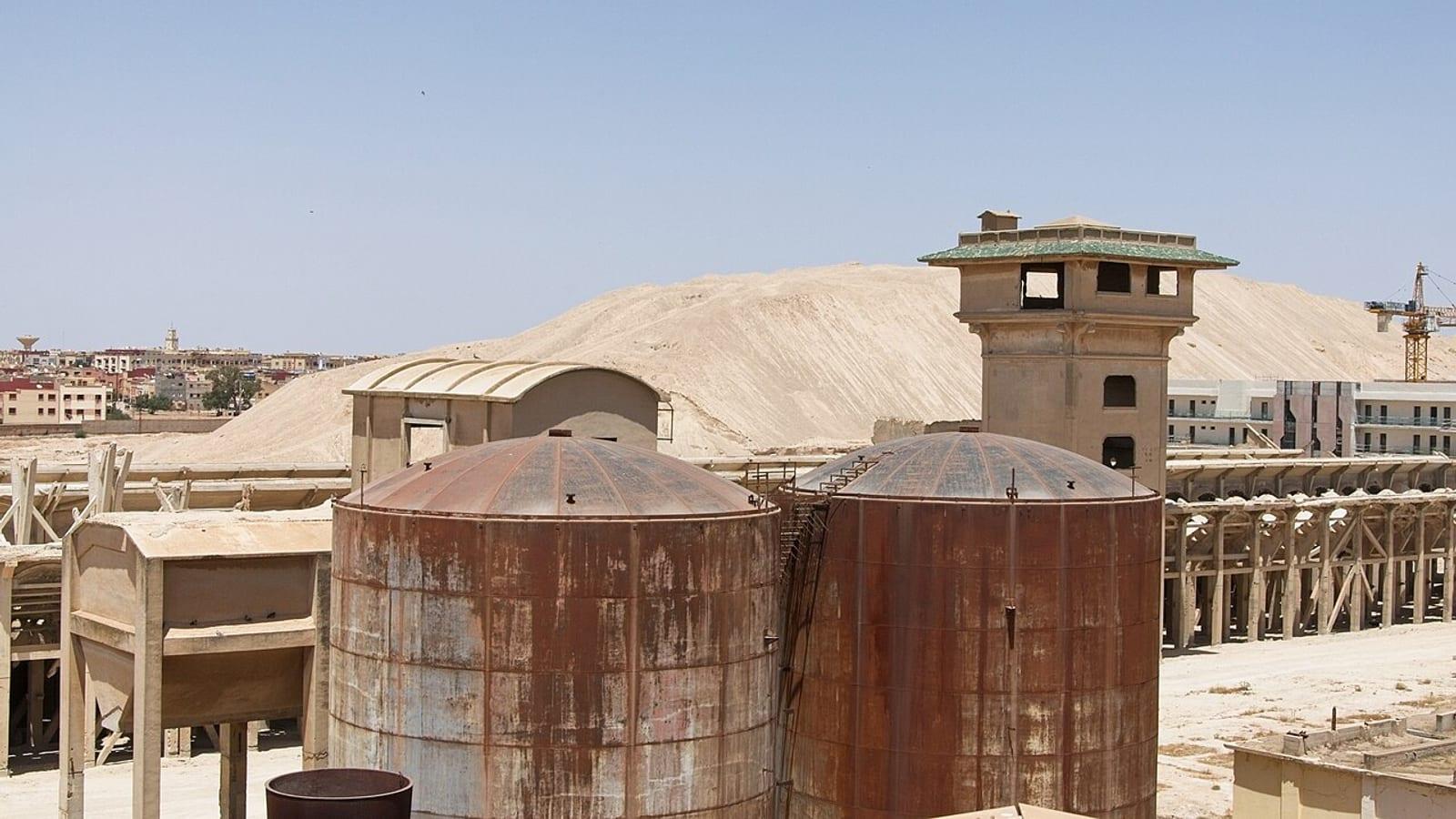 Khouribga Phosphate Shark Tooth Site Fossil Hunting GuideShark teeth, Mosasaur teeth
 Bou Dib Fossil Site North Jbel Isoumour Alnif Fossil Hunting GuideBou Dib, Phacops