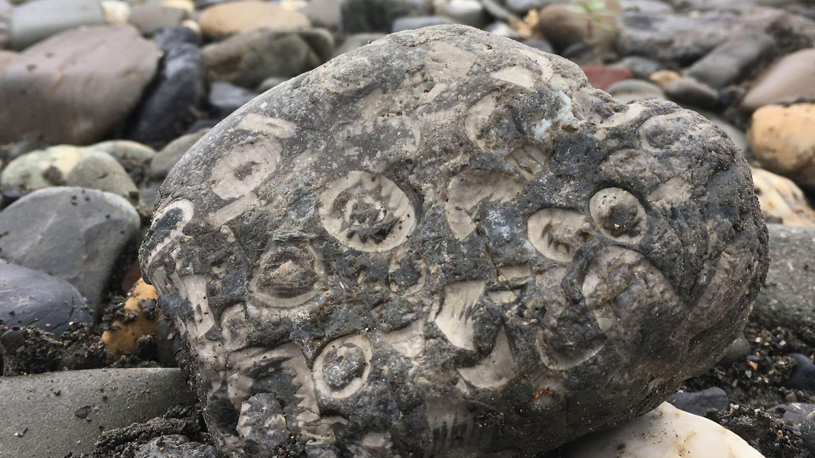
Homer, Alaska Coast Fossil Hunting Guide
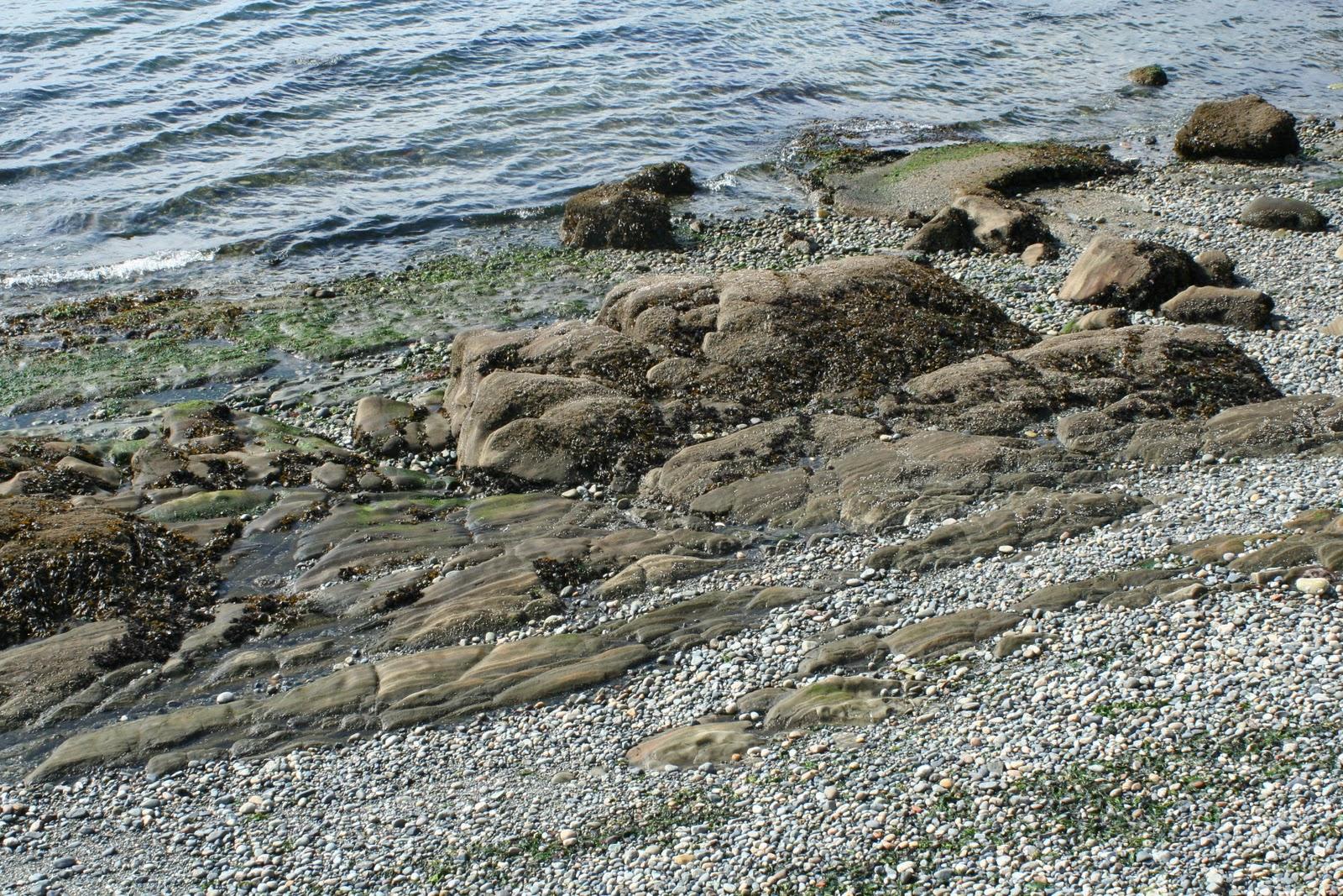
Image: Benson Poppy, U.S. Fish and Wildlife Service (Public domain)
The coast around Homer holds two very different fossil records. The road-side bluffs at Bishop's Beach and Bluff Point expose the Miocene Beluga Formation, a coal-bearing unit with fossil leaves and wood, while ammonites and marine shells come from much older Jurassic and Cretaceous rocks around Kachemak Bay.
By Edward Chen · Updated 11 July 2026
Introduction
The coast around Homer, at the tip of the Kenai Peninsula, records two very different chapters of Alaskan geology, and it helps to keep them apart. The bluffs you can walk to from town, at Bishop's Beach and out toward Bluff Point, are cut into the Miocene Beluga Formation, a coal-bearing rock full of fossil leaves, wood, and petrified logs. Ammonites and marine shells, the finds many visitors come looking for, belong to far older Jurassic and Cretaceous rocks that ring Kachemak Bay and are mostly reached by boat.
Understanding which rock you are standing on is the difference between a productive day and a frustrating one. The coal bluffs west of Homer are a Tertiary swamp and river deposit. The ammonite-bearing beds are the remains of a Mesozoic sea, exposed on the far shore and headlands of the bay.
Location and Directions
Homer sits at the end of the Sterling Highway, about 220 road miles south of Anchorage, near 59.64°N, 151.54°W. Bishop's Beach is at the foot of Main Street and Bunnell Avenue in Old Town Homer, with a parking area and beach access. From there the shoreline runs west below eroding bluffs toward Bluff Point, where coal was once mined.
The older, ammonite-bearing Mesozoic rocks are on the south and east sides of Kachemak Bay, including areas within Kachemak Bay State Park, reached by water taxi from the Homer Spit rather than by road.
What Fossils You'll Find
At the Homer bluffs, the fossils are terrestrial. Fossil leaves and impressions of wood weather out of the fine-grained beds, petrified wood turns up along the beach, and dull black coal seams run through the cliffs. These record the forests and swamps of the Miocene coastal plain.
Around Kachemak Bay, the older marine rocks carry ammonites, the coiled cephalopod shells, sometimes preserved in hard nodules, along with bivalves and other shells of Jurassic and Cretaceous age. These are the source of the ammonite finds associated with the wider Homer area, rather than the coal bluffs themselves.
Along any of these beaches, work the tide line and the loose material at the base of the cliffs, where the sea has already freed and concentrated the harder fossils.
Geologic History
The Homer bluffs belong to the Kenai Group, and specifically the Beluga Formation, a late Miocene unit of river sandstone, mudstone, coal, and volcanic ash. It formed on a low, forested coastal plain, and its thick coal beds were mined at Bluff Point on and off between the late 1800s and 1951.
The rocks around Kachemak Bay are much older. They are part of a Mesozoic accretionary complex, marine sediments and volcanics of Jurassic and Cretaceous age that were scraped onto the edge of the continent and later faulted and folded. The ammonites and marine shells lived in that ancient sea, tens of millions of years before the Beluga swamps existed.
Collecting Rules and Regulations
Bishop's Beach and the tidal zone below the high-tide line are public, and picking up loose plant fossils, petrified wood, or coal from the beach for personal, non-commercial use is generally accepted. Do not dig into or undercut the bluffs. They are unstable, the land above them is often private, and disturbing them is dangerous.
The Mesozoic sites across Kachemak Bay are a different matter. Much of that shoreline lies within Kachemak Bay State Park, where collecting natural features, including fossils, is not allowed. Confirm the land status before collecting anywhere on the bay, and treat state park ground as viewing only.
Safety
Cook Inlet and Kachemak Bay have some of the largest tides in the world, and the water rises fast over wide flats. Check a tide table, know your exit, and never get trapped against a bluff by an incoming tide. The bluffs themselves are loose and shed rock, so stay back from both the top and the base. The water is cold, the weather changes quickly, and bears use these shorelines, so carry layers, watch your surroundings, and tell someone your plans before heading out.
Sources
https://pubs.usgs.gov/bul/1058f/report.pdf https://dggs.alaska.gov/pubs/id/3604 https://earthathome.org/hoe/w/fossils-ak/
Frequently asked questions
- What fossils can you find near Homer, Alaska?
- Two separate records meet here. The Miocene Beluga Formation in the road-accessible bluffs yields fossil leaves, wood, and petrified logs roughly 10 to 5 million years old. The ammonites and marine shells come from much older Jurassic and Cretaceous rocks around Kachemak Bay, reached by water taxi.
- Is fossil collecting allowed near Homer?
- Collecting of common invertebrate and plant fossils is generally open on the beach, but confirm land status, since ownership along the Kenai coast varies. Leave vertebrate material in place.
- When is the best time to fossil hunt near Homer?
- The long daylight of late spring through early fall gives the best access and beach conditions. Time visits to low tide, and search after storms that erode the bluffs.
Nearby sites
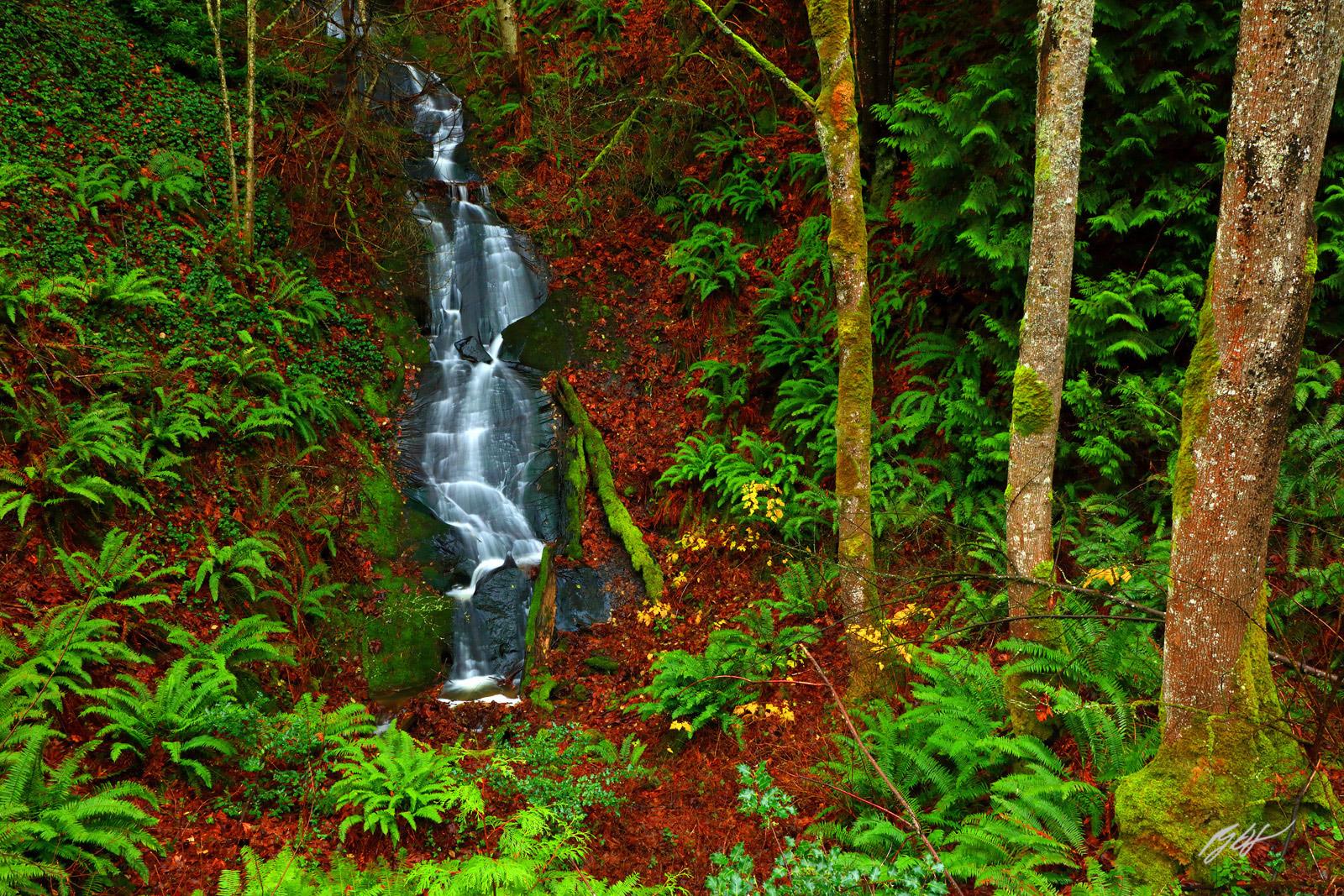 Chuckanut Drive & Larrabee State Park Fossil Hunting GuideFossil palm fronds (Sabalites), Fossil leaves
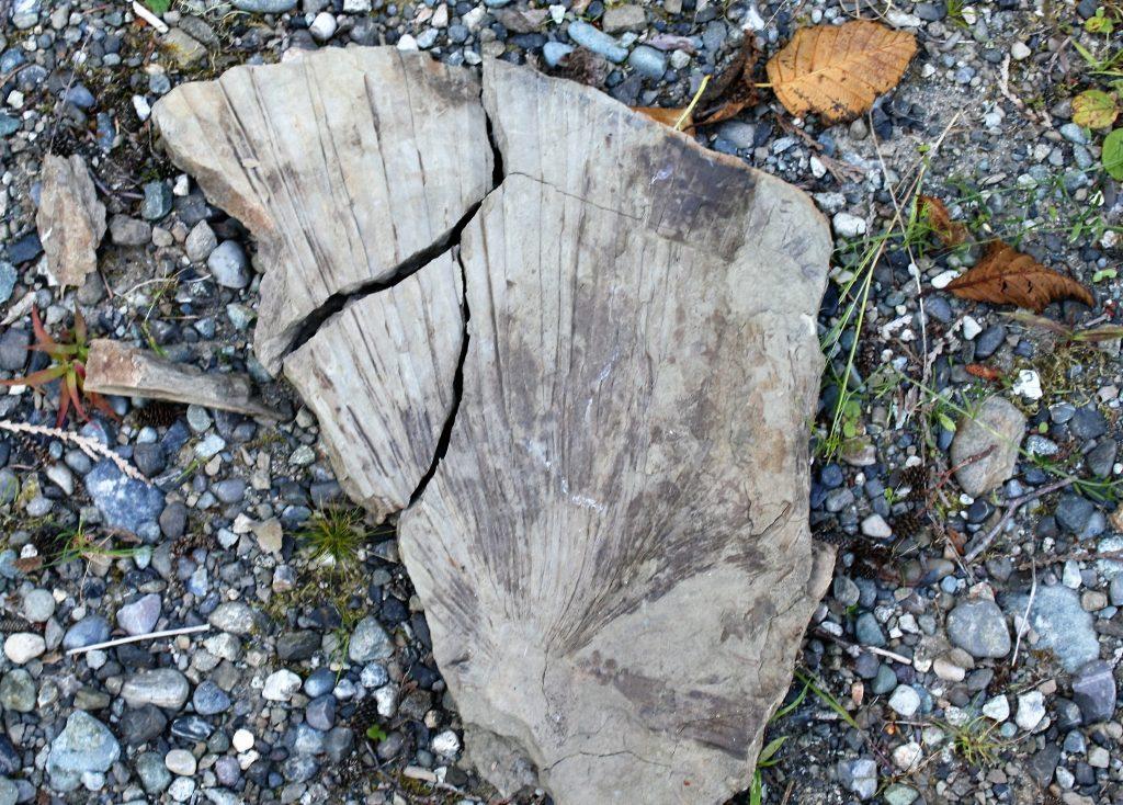 Racehorse Creek Chuckanut Fossil Fields Hunting GuideFossil palm fronds (Sabalites), Tree fern fronds (Cyathea pinnata)
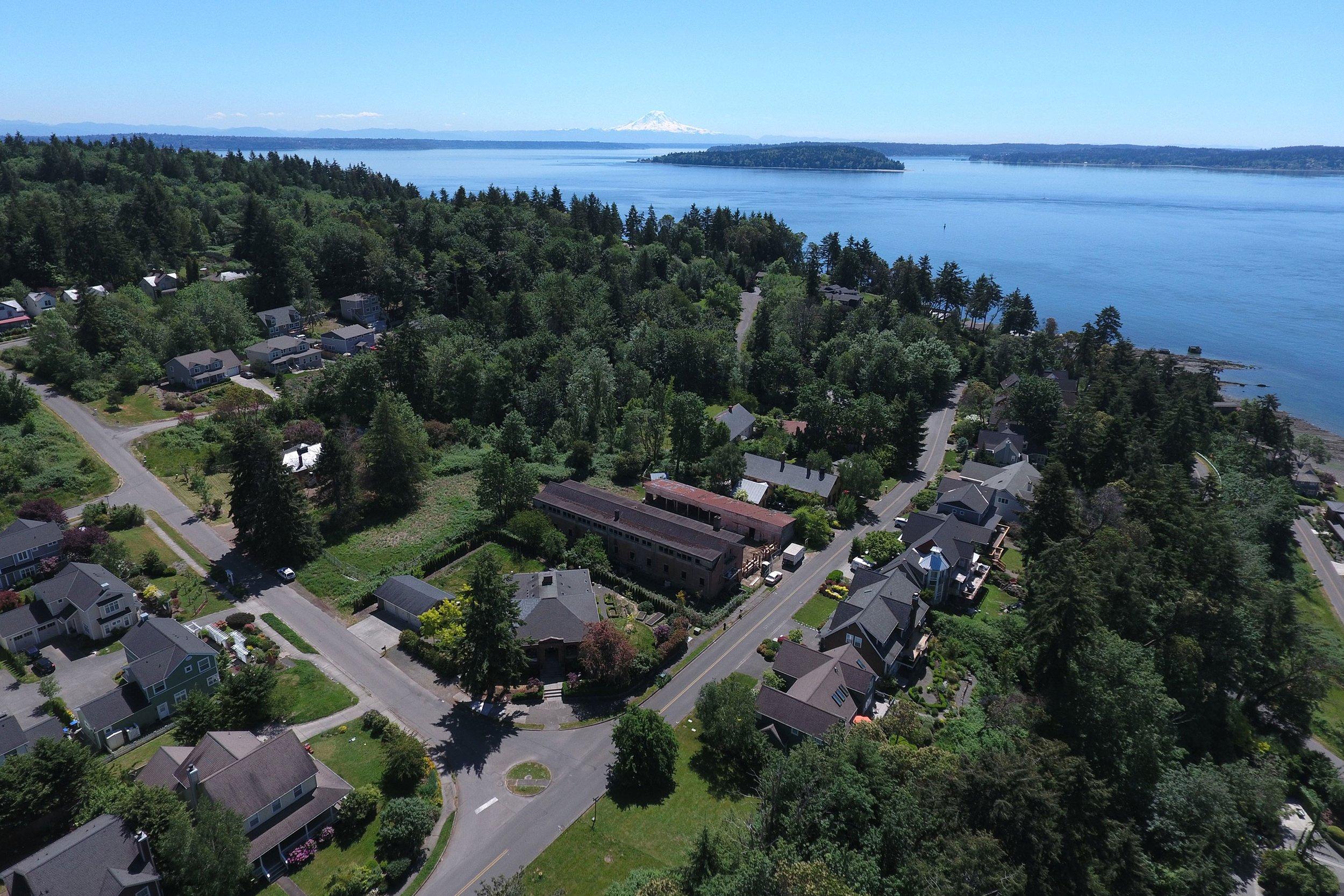 Fort Ward Park (Blakeley Formation) Fossil Hunting GuideMarine mollusks, Crab concretions
 Alki Beach Blakeley Formation Fossil Hunting GuideMarine mollusks, Crab concretions