
Dinosaur Valley State Park: Dinosaur Trackways
Image: Diane Turner (CC BY 2.0)
Dinosaur Valley State Park preserves the most accessible set of in-situ dinosaur trackways in North America.
By Edward Chen · Published 26 November 2025
 Photo: Larry D. Moore, CC BY 4.0 via Wikimedia Commons
Introduction
Dinosaur Valley State Park preserves the most accessible set of in-situ dinosaur trackways in North America. The tracks lie in the bed of the Paluxy River where it cuts through the Glen Rose Formation, a Lower Cretaceous limestone sequence laid down on a shallow tidal flat about 113 million years ago. Three large theropod and sauropod trackways cross the riverbed at the main site, and dozens more are scattered up and down a roughly five-mile reach of the Paluxy. When the river runs low in summer and early fall, you can wade between blue-painted markers placed by park staff and stand inside individual prints that are more than three feet long. The site's scientific record began with the work of Roland T. Bird in the late 1930s, whose excavated trackway slabs now anchor displays at the American Museum of Natural History and the Texas Memorial Museum. This guide covers how to reach the park, where to find the major track sites, what the prints record about the animals that made them, and the rules that govern a park where the tracks themselves are protected.
"Long ago, dinosaurs left footprints in the mud at the edge of an ancient ocean. Today, you can walk in their tracks in the bed of the Paluxy River.". Texas Parks & Wildlife
Location and Directions
Dinosaur Valley State Park is in Somervell County, four miles west of Glen Rose, Texas.
The park entrance address is 1629 Park Road 59, Glen Rose, TX 76043. From U.S. 67 in Glen Rose, turn north onto FM 205 for about four miles, then turn right onto Park Road 59. The entrance station is at the end of Park Road 59. From the Dallas-Fort Worth metroplex, the drive is about 90 minutes via U.S. 67 south through Cleburne and Glen Rose.
A standard daily entrance fee is charged per adult, and Texas State Parks Pass holders enter free. Reservations through Texas Parks and Wildlife are strongly recommended on weekends and holidays, since the park caps daily visitation when the lots are full.
The visitor center is just past the entrance station and has restrooms, exhibits, and a small bookstore. From the visitor center, follow signs to the Main Track Site parking area. A short, steep trail drops from the parking lot to the riverbed. The most prominent trackways are within 100 yards of where the trail meets the river. Additional track sites are reached by walking upstream and downstream along the bedrock. Track Site 1 (the Blue Hole), Track Site 2 (Denio Branch), and the Ballroom are signed at trailheads off the park road. Most sites involve wading, and the limestone bed is slick where algae have grown, so closed-toe shoes with grip are essential. River shoes or old sneakers work better than sandals.
Track visibility depends entirely on river level. Late summer and early fall typically expose the most prints. Spring rains can submerge the main site for weeks at a time. Call the park or check the Texas Parks and Wildlife river-level page before driving out.
What Fossils You'll Find
 Photo: Nicolas Henderson from Coppell, Texas, CC BY 2.0 via Wikimedia Commons
.jpg)
You are here to see trace fossils in place, not to collect. The Paluxy bed preserves four kinds of evidence:
- Theropod trackways. Three-toed prints with sharp claw impressions, typically 18 to 24 inches long, made by a large bipedal carnivore. The trackmaker is now generally identified as Acrocanthosaurus atokensis, a 35-foot allosauroid known from skeletal material in nearby Oklahoma and Texas. Stride lengths preserved in the Paluxy reach 12 feet.
- Sauropod trackways. Round to elliptical front-foot prints and larger, kidney-shaped rear-foot prints, with rear prints up to 38 inches long. The trackmaker is generally identified as Sauroposeidon proteles or a closely related brachiosaurid sauropod, an animal estimated at 50 to 60 feet long. Some Paluxy sequences preserve a sauropod and a theropod walking the same direction along the same surface, and Bird's 1930s work argued that the theropod was actively trailing the sauropod.
- Bedding-plane features. Ripple marks, mud cracks, raindrop impressions, and small invertebrate burrows are preserved on many of the same surfaces that hold the tracks.
- Body fossils in float. Limestone cobbles eroded out of the Glen Rose contain occasional rudistid bivalves, oysters (Exogyra and Texigryphaea), and small gastropods. These are visible in the streambed but not collectable inside the park.
Long-debunked claims of "human footprints" alongside the dinosaur tracks have no scientific support. The features in question are either erosional artifacts or partially infilled theropod metatarsal impressions, and park staff will explain the history candidly if asked.
Geologic History
The track-bearing rock is the Glen Rose Formation of the Trinity Group, deposited during the early Albian stage of the Early Cretaceous, roughly 113 million years ago. At that time, central Texas lay along the western shore of a broad, warm, shallow epicontinental sea that flooded north into what would later become the Western Interior Seaway. The region was a low-relief carbonate tidal flat fringing the sea, similar in setting to the modern Persian Gulf or the Bahamas Banks.
Tides moved across the flat twice a day, depositing thin layers of carbonate mud rich in mollusk fragments and microbial material. Periodic exposure of the flats during low tides produced mud cracks and gave dinosaurs walking the surface a chance to leave clear, deep impressions. Storms blew thin sheets of carbonate sand over the prints soon after they were made, and the sand layers later cemented into limestone, sealing the tracks against erosion. Each major track surface in the Paluxy represents one such exposure event.
The Glen Rose itself is several hundred feet thick across central Texas and contains alternating beds of limestone, marl, and dolomite. The track-bearing horizon at the main site is in the lower Glen Rose Member. Subsequent burial under younger Cretaceous limestones and chalks lithified the entire section. Uplift of the Llano region and incision by the Paluxy River during the Cenozoic eventually stripped the overlying rocks and exposed the trackway surfaces in the modern riverbed.
How Dinosaur Valley State Park Became a Fossil Collecting Site
The trackways were known to local residents for decades before they reached scientific attention. A nine-year-old George Adams reportedly first noticed three-toed prints in the Paluxy bed near Glen Rose in 1909. In 1937 Roland T. Bird, a fossil collector working for the American Museum of Natural History, came to Glen Rose to investigate the prints after seeing alleged human-track carvings being sold at a New Mexico trading post. Bird located the genuine dinosaur tracks, identified the sauropod prints as the first ever recognized in North America, and supervised excavation of large slabs that were shipped to the AMNH and the University of Texas during 1938 and 1940.
The State of Texas acquired the land in 1968 and opened Dinosaur Valley State Park in 1972 to protect the riverbed and provide public access to the remaining in-place trackways. The park was designated a National Natural Landmark in 1969. Texas Parks and Wildlife now manages the trackways, monitors erosion, and periodically uncovers buried surfaces when river levels and conditions permit. The park has never been a collecting site. From its founding the management goal has been preservation in place.
Collecting Rules and Regulations
Collecting any fossil, rock, or mineral inside the park is prohibited. This includes the tracks themselves, loose limestone fragments, and any invertebrate fossils visible in the streambed. The tracks are protected under Texas state park regulations and under the Antiquities Code of Texas.
Practical rules:
- Stand and walk inside the prints to feel their scale, but do not chip, scrape, or pour water dyes into them. Park staff repaint blue boundary lines around the major prints each year and ask visitors to stay outside those lines for the deepest impressions.
- Wading is allowed in the river within the park boundary. Do not move loose limestone slabs, even if they appear to contain fossils.
- Park hours are typically 8:00 a.m. to 10:00 p.m, with day-use access until sunset and overnight access only for registered campers.
- The park has campsites, equestrian trails, mountain-bike trails, and a swimming hole. The track sites can be crowded on summer weekends, and parking at the main site fills early.
- The Paluxy River can rise quickly during thunderstorms. Watch for changing water clarity and current speed and leave the bed promptly if either changes.
- A separate private attraction called Dinosaur World adjacent to the park sells fossils and offers a sluice. The park itself does not, and any fossils you see inside the park gates must remain there.
Safety
The trackways at Dinosaur Valley lie in and beside the Paluxy River, and the river is the reason for both the site's quality and its risks.
Water levels change fast. The Paluxy is a flashy Texas river that rises quickly after rain, including from storms falling upstream on a day that is clear at the park. The best-known tracks are visible only when the water is low, and people get caught by a rising river while absorbed in looking down. Check conditions at the entrance, watch the water, and get out of the riverbed promptly if it starts to rise.
The riverbed is slippery. The limestone is smooth, algae-covered where it stays wet, and cut by potholes and channels. This is the most common way people are injured here. Wear shoes with grip that you do not mind soaking, and walk deliberately rather than hopping between ledges.
Texas heat. Summers are hot and humid with limited shade on the riverbed and the open trails. Carry plenty of water, use sun protection, and go early.
Watch for snakes, including cottonmouths near the water and rattlesnakes on the drier trails, and for fire ants on the banks. Poison ivy grows along the river.
The tracks are protected. Do not chisel, hammer, or attempt to cast them, and avoid walking on the track surfaces themselves where signs ask you not to, since foot traffic wears them away.
Sources
- Texas Parks and Wildlife, "Dinosaur Valley State Park." https://tpwd.texas.gov/state-parks/dinosaur-valley
- Farlow, J.O, 1987. "A Guide to Lower Cretaceous Dinosaur Footprints and Tracksites of the Paluxy River Valley." Baylor Geological Society.
- Bird, R.T, 1985. Bones for Barnum Brown: Adventures of a Dinosaur Hunter. Texas Christian University Press.
- Rogers, J.V, 2002. "Sauropod Tracks of the Glen Rose Formation: Implications for Sauropod Locomotion." Ichnos 9.
- U.S. National Park Service, "National Natural Landmarks: Dinosaur Valley." https://www.nps.gov/subjects/nnlandmarks/
Nearby sites
 Mineral Wells Fossil Park Fossil Hunting GuideCrinoids, Echinoids
 Waco Mammoth National Monument Fossil Hunting GuideColumbian mammoth (Mammuthus columbi), American camel (Camelops)
 Post Oak Creek Fossil Hunting GuideShark Teeth, Bivalves
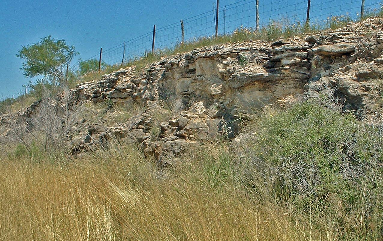 Austin Chalk Roadcuts Fossil Hunting GuideAmmonites, Inoceramus clams