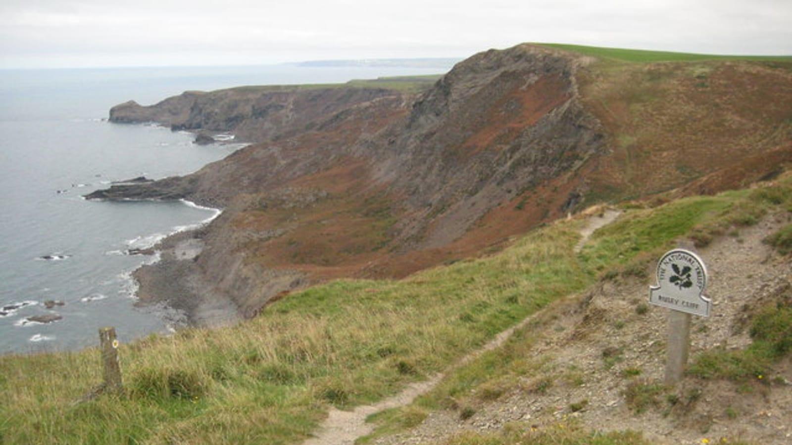
Rusey Cliff Cornwall Fossil Hunting Guide
Image: Philip Halling (CC BY-SA 2.0)
Rusey Cliff in North Cornwall exposes Carboniferous Boscastle Formation shales yielding plant fossils, corals, brachiopods, and goniatites on a dramatic SSSI coastline.
By Edward Chen · Updated 30 July 2026
Introduction
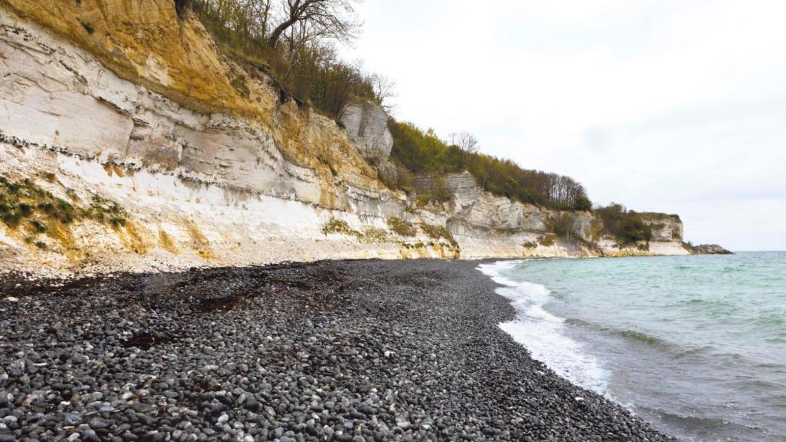
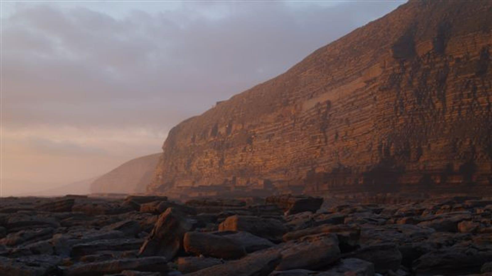
Rusey Cliff, on the North Cornwall coast between Boscastle and Crackington Haven, is one of the few places in Cornwall where Carboniferous marine and terrestrial fossils can be collected in quantity. The rocks here belong to the Boscastle Formation, a sequence of black shales, siltstones, and intermittent limestone bands that record a deep-water marine basin from approximately 345 to 320 million years ago. Plant remains preserved as impressions in slabs of siltstone are the most accessible finds, but the foreshore limestone bands yield corals, brachiopods, and goniatites for those who know where to look. The near-vertical dip of the strata, a consequence of Variscan mountain-building that deformed these rocks tens of millions of years after they were deposited, means that a short walk along the foreshore carries you through a substantial thickness of geological time.
This is not a beginner site. The approach involves a steep path and exposed cliff terrain, and the foreshore requires careful navigation. But for experienced collectors prepared for the conditions, Rusey Cliff offers access to fossil types that are genuinely scarce in southwest England.
 Photo: Philip Halling, CC BY-SA 2.0, via Wikimedia Commons
Location and Directions
Address
Rusey Cliff is accessed from the South West Coast Path between Boscastle and Crackington Haven, North Cornwall. The nearest village is Boscastle, approximately 4 km to the southwest.
Directions and Parking
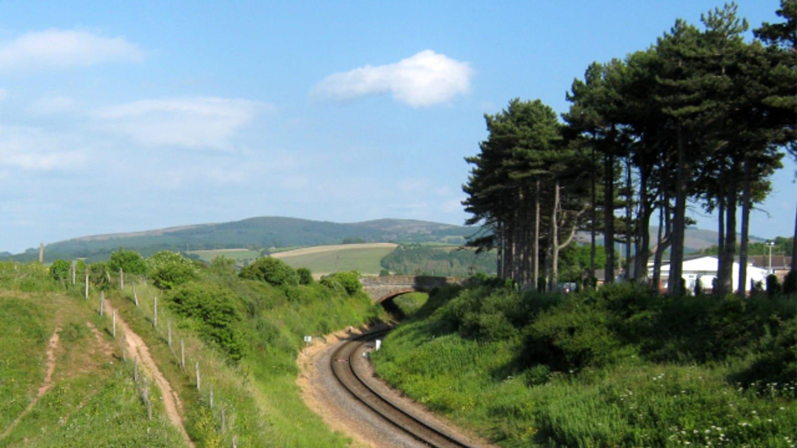
From Boscastle, follow the B3263 towards the A39 as far as the crossroads at the Marshgate turnoff, then take the coastal road on the left towards Newton Farm, where there is a small car park. Continue up the road on foot to the public footpath, cross the fields and stiles, and pick up the South West Coast Path. The walk is roughly a mile and ends in a steep, long descent through the Rusey Cliff landslip. The collecting ground is the landslip itself: the slumped blocks of shale and siltstone spread across the slope are where the fossils are found, and you do not need to reach the beach. The degree of difficulty varies with current path conditions, so check with the National Trust or local walking groups before your visit. The path runs alongside exposed drops and is exceptionally dangerous after rain, when it should be avoided altogether. Do not attempt this walk in poor visibility or high winds. The South West Coast Path Association maintains route updates at its website.
What Fossils You'll Find
Corals occur in the intermittent limestone bands that run through the predominantly clastic sequence. Both solitary rugose corals and tabulate corals have been recorded here. The coral-bearing horizons are thinner than at many Carboniferous sites, and locating the right bed requires systematic searching along the foreshore rather than collecting from one spot.
Brachiopods are present in both the siltstones and the limestone bands. Productid brachiopods with their distinctive spiny exterior are among the more recognisable forms. Smaller spiriferid brachiopods also occur.
Goniatites are the prize find at Rusey Cliff. These extinct cephalopods with their distinctive suture patterns occur in the black shales and are sometimes found with good preservation of the suture lines on the outer whorl. They confirm the deep-water marine origin of the black shale facies and are of significant biostratigraphical value for correlating Carboniferous sequences across Europe.
Geologic History
The Ancient Environment
The rocks at Rusey Cliff were deposited during the Carboniferous period, spanning from the Chadian to the Chokierian stages, approximately 345 to 320 million years ago. At this time, what is now Cornwall lay at tropical latitudes close to the equator, in a deep-water marine basin known as the Culm Basin. This basin formed as the Variscan mountain belt was constructed to the south and east: the weight of the rising mountains caused the crust to flex downwards, creating subsiding troughs that filled with sediment washing off the adjacent highlands. The black shales record anoxic or near-anoxic conditions on the seafloor, where organic matter was preserved rather than decomposed. The siltstones represent pulses of coarser sediment brought in by turbidity currents flowing from shallower areas. The occasional limestone bands reflect periods of reduced clastic input when carbonate organisms could thrive on the seafloor. Plant material found in the siltstones was transported from nearby coastal swamps and terrestrial environments, carried into the deep basin by rivers or storm events. The Variscan Orogeny that followed, roughly 300 to 280 million years ago, tilted and compressed these rocks to their present near-vertical orientation, bringing once-horizontal seabed sediments to stand almost on end.
How Rusey Cliff Became a Fossil Collecting Site
The dramatic folding and uplifting of the Variscan Orogeny brought the Boscastle Formation to surface level, where centuries of coastal erosion by the Atlantic have cut into the steep cliff faces and exposed the near-vertical strata on the foreshore. Wave action continuously works at the base of the cliffs and along bedding plane surfaces, releasing fossils from the matrix and washing them onto the foreshore platform. The near-vertical dip means that individual fossil-bearing beds are relatively narrow in the vertical sense but extend along the foreshore for considerable distances, giving the site a distinctive linear character: each fossil type tends to be found in a specific band rather than distributed uniformly through the exposure.
Collecting Rules and Regulations
Is Fossil Collecting Allowed?
Rusey Cliff is designated as a Site of Special Scientific Interest (SSSI) by Natural England, recognised for the completeness of its Carboniferous succession and the quality of its Variscan structural geology. SSSI designation means that any activity likely to damage the geological or biological features is a criminal offence under the Wildlife and Countryside Act 1981. In practice, responsible surface collection of loose material from the foreshore is generally considered acceptable by Natural England and the British Geological Survey, provided you are not hammering into in-situ rock faces, removing large blocks of bedded material, or systematically stripping fossil-bearing horizons. If you find a specimen of unusual scientific significance, particularly a well-preserved goniatite with intact suture detail or a rare plant specimen, you should consider reporting it to the British Geological Survey or the Natural History Museum.
Recommended Tools
A geological hammer and chisels are useful for splitting loose slabs of siltstone along natural bedding planes to reveal plant impressions. Do not use them on in-situ cliff faces. Bring a stiff brush for cleaning specimens in the field and padded wrapping for fragile plant impressions. Knee pads can be helpful when working along the foreshore. Sturdy waterproof boots with ankle support are essential for the uneven, often wet foreshore rocks.
Safety
The approach path involves steep drops and exposed clifftop terrain, and the descent through the landslip is long and steep. It is exceptionally dangerous after rain and should not be attempted then. This is not a site for children. Keep the weight you carry down, because everything has to come back up the same slope. Do not attempt to reach the beach from this path. If you do work at the foot of the slip, check tide times for Bude, the nearest reference point, before setting out. The cliffs above are actively eroding and loose material can fall without warning. Do not work beneath overhanging sections. Visit with a companion, carry a fully charged mobile phone, and check the weather forecast, as this section of the North Cornwall coast is fully exposed to Atlantic weather systems.