Trout Valley Formation, Baxter State Park Fossil Hunting Guide
The Devonian Trout Valley Formation in northern Baxter State Park, Maine, is the source of Pertica quadrifaria, the Maine state fossil. Fossil plants lie in roadside rock along Wadleigh Mountain Road. Removing fossils from the park is illegal, so this is a viewing and research locality.
By Edward Chen · Published 1 October 2026
Introduction
The Trout Valley Formation in northern Baxter State Park, Maine, is an internationally recognized source of Middle Devonian land plants. It yields Pertica quadrifaria, the Maine state fossil. The rock is about 390 million years old. Removing fossils from the park is illegal, so this is a viewing and research locality.
Set expectations before you travel. The fossils lie in roadside rock in the remote north of the park. Published work rests on fresh rock that scientists split under permit, then studied in a laboratory. This guide found no report of a visitor who saw an identifiable Pertica.
Doug Rankin of the US Geological Survey first recognized the formation along Trout Brook. Dorf and Rankin described plants and invertebrates from it in 1962. Scientists found Pertica there in 1968. The Maine Geological Survey says plant remains now show along stream banks that erode.
Location and Directions
The Trout Valley Formation crops out in Trout Brook Township, Piscataquis County. The best documented locality is along Wadleigh Mountain Road in the park's Scientific Forest Management Area (SFMA). A Colby College survey placed its datum on that road at 46.134 degrees north and 68.949 degrees west.
The SFMA lies in the northern part of Baxter State Park. A 2009 newspaper article says you reach it through the Matagamon Gate. The article puts Matagamon about an hour's drive north of the Togue Pond Gate, or a couple of hours by the Park Tote Road.
About 20 miles of SFMA roads are open to general traffic. Foot traffic only is allowed on the other 40 miles of road, according to that 2009 article. This guide found no source that says which group Wadleigh Mountain Road belongs to. Ask at the Matagamon Gate before you set out.
Maine residents enter Baxter State Park free. Since January 2025 a non-resident vehicle pays $20 for a day, or $50 for a season pass. A park notice set both gates to open 06:00 to 17:00 from 3 November 2024. Call the Daily Park Conditions Report at 207-723-9500 for current roads and hours.
What Fossils You'll Find
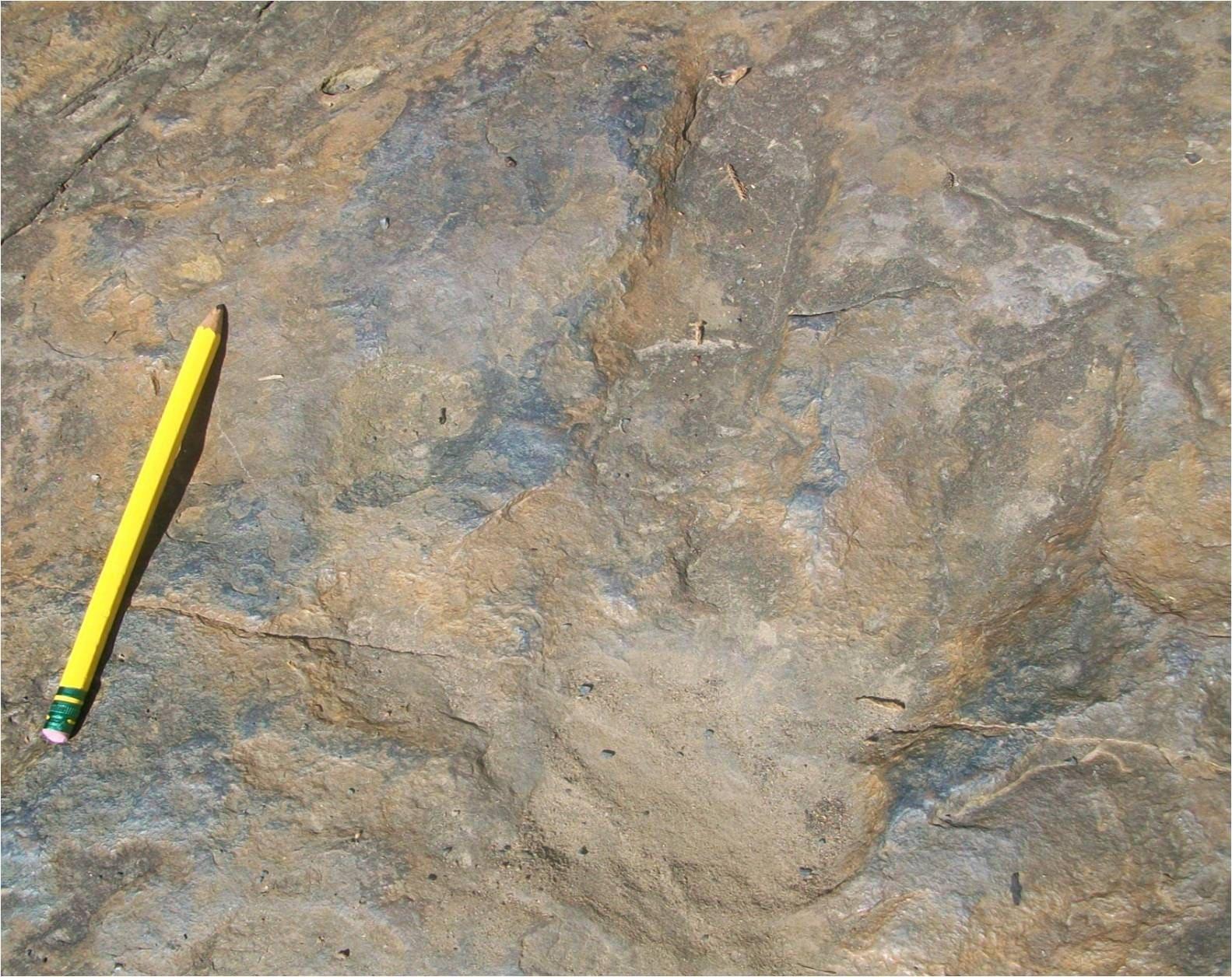
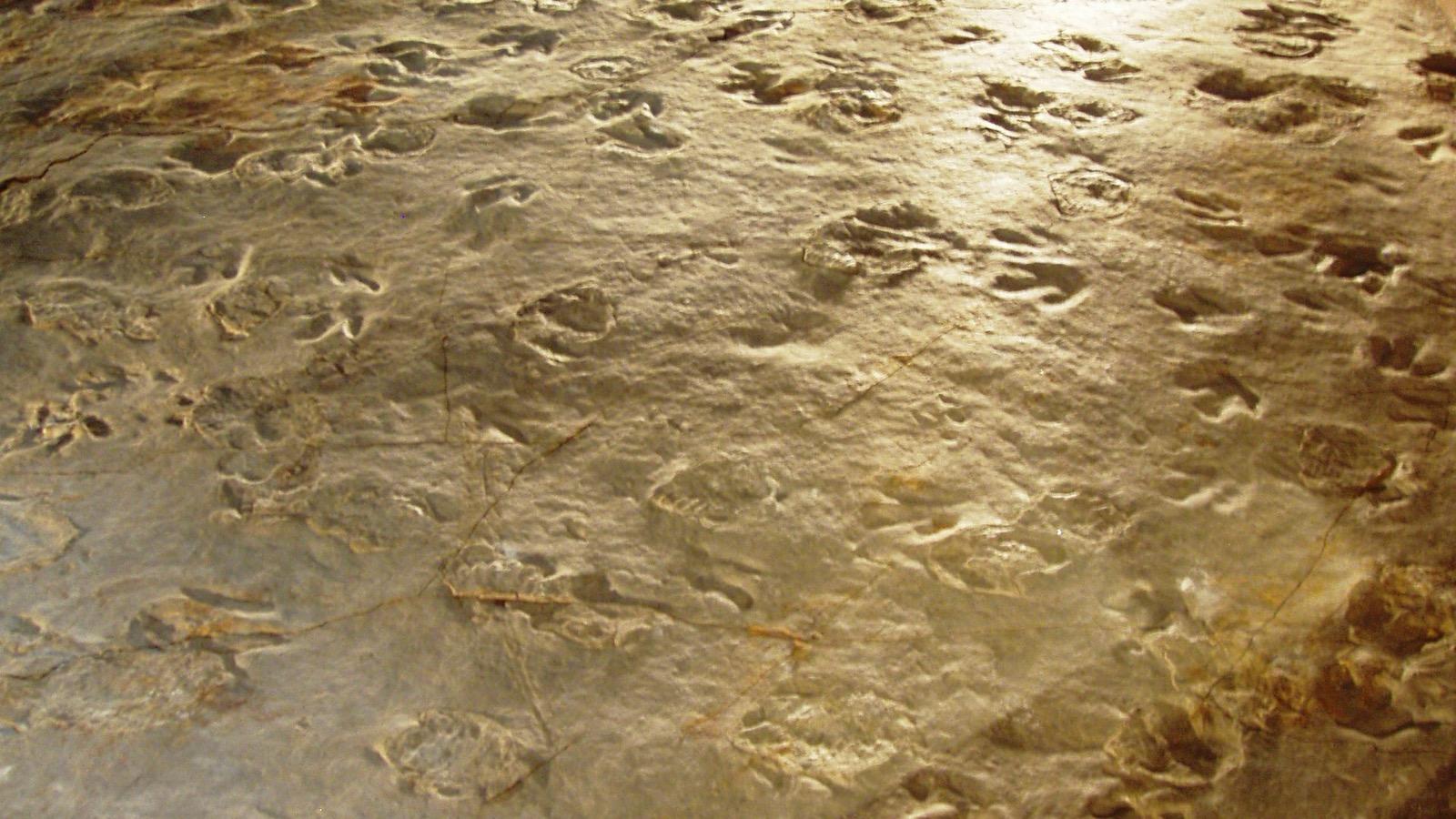
The fossils are plants, with a few animals and trace fossils. The plants are early land plants with no leaves. They are compressions, which means a thin carbonaceous film on the rock surface. Some are impressions or sediment casts.
Pertica quadrifaria is the best known. It probably reached six feet, with a stem up to one inch wide. Its branches grew in four rows that spiral around the stem. Fertile branches ended in dense clusters of spore cases. Well preserved Pertica is known from only three other places in the world.
The Colby College survey of Wadleigh Mountain Road also found Taeniocrada, three species of Psilophyton and a plant tentatively assigned to Kaulangiophyton. The most common plant is Psilophyton forbesii, which occurs at all but one collection site. Thin axes are 0.5 to 1 cm wide, and robust axes reach 2 cm.
Animals are rare. A single bivalve species, Modiomorpha concentrica, forms dense shell layers at two sites. Trace fossils include the vertical burrows Skolithos and the spiral feeding traces Spirophyton. Dorf and Rankin also recorded eurypterids, ostracodes and estherids.
Geologic History
The Trout Valley Formation dates to the late Emsian and early Eifelian ages of the Devonian. The Colby report gives 408 to 387 million years. It lies on the Traveler Mountain Rhyolite, a volcanic unit about 406 to 407 million years old. Erosion of the Acadian highlands supplied the sediment.
The formation consists of conglomerate, sandstone and siltstone. Low-grade metamorphism has altered it. The deposits are non-marine. They record ancient soils beside rivers that ran to a coast with brackish water. The Maine Geological Survey describes a brackish marsh near an active volcano.
Fine-grained rock holds the fossils. Silty sandstone, sandy siltstone and siltstone preserve plants, shells and traces, and coarse sandstone does not. Along Wadleigh Mountain Road the rock fines upward. A coarse, barren sandstone lies at the base, and fossil-bearing siltstone lies above it.
Road construction in 2004 exposed this rock. Crews fractured the bedrock and pushed it to the roadside. A Colby College team found thirteen fossil localities along 1.1 km of road in September 2014. They recovered 161 hand samples under permit from the Baxter State Park Authority. The park owns the samples. Representative pieces were to go to the Maine State Museum.
Collecting Rules and Regulations
Do not collect. The Maine Geological Survey states that it is illegal to remove fossils or minerals from Baxter State Park. It adds that people caught with specimens will be prosecuted.
Park Rule 4.11 prohibits removing natural objects, materials, plants or animals from the park. The exceptions cover fish and wildlife in authorized areas and personal-use berries and fiddleheads. Fossils fall under the general ban. Rule 4.10 prohibits metal detectors.
Researchers need a special use permit from the park Director. Rule 4.12 requires a written request nine months in advance. The Colby survey worked under that kind of permission.
Do not bring hammers or chisels. Look, photograph and leave the rock in place. The Maine Geological Survey asks visitors to leave fossils where they find them, for future park users.
Safety
The SFMA is a working forest. The 2009 newspaper article describes active forestry operations and hauling roads. Hunting is allowed there in season. Drive slowly and give way to logging trucks.
This is the remote north end of the park. Roads inside the park are long. Carry a paper map, spare fuel, water and a spare tire. Do not rely on a mobile telephone signal. Tell someone your route.
Stay on the road and on exposed rock. The roadside cuts are bulldozed bedrock and the broken rock can shift under your boots. Wear sturdy shoes and keep clear of any steep cut face.
Check the Daily Park Conditions Report for road closures before you drive.
Sources
https://baxterstatepark.org/wp-content/uploads/2017/05/Conserving-Maines-Fossil-Heritage-Colby-College.pdf https://www.maine.gov/dacf/mgs/explore/fossils/stfossil.htm https://baxterstatepark.org/wp-content/uploads/2017/03/RulesRegsBSP2017.pdf https://baxterstatepark.org/2024/10/22/notice-of-changing-hours-2/ https://www.bangordailynews.com/2025/01/14/outdoors/new-rates-baxter-state-park/ https://www.bangordailynews.com/2009/09/18/news/baxterrsquos-working-forest-where-hikers-can-play/