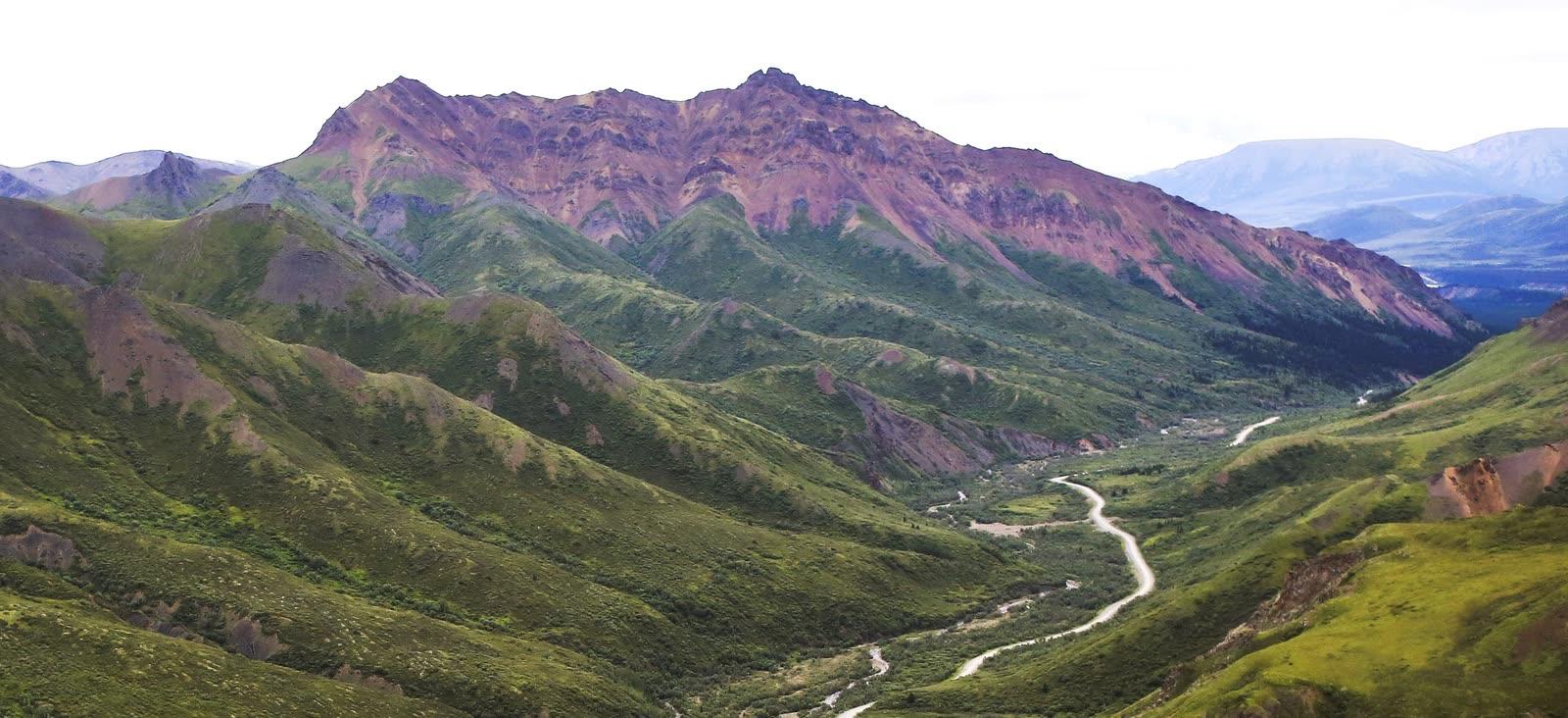
Cantwell Formation Dinosaur Trackways, Denali National Park Fossil Hunting Guide
Image: NPS Photo / Emily Mesner (Public domain)
Thousands of Late Cretaceous dinosaur and bird tracks lie in the Cantwell Formation of Denali National Park and Preserve, Alaska. Most track sites are remote and NPS publishes no directions to them. Visitors can see specimens at the Murie Science and Learning Center, which is open in winter only.
By Edward Chen · Published 1 October 2026
Introduction
Denali National Park and Preserve holds thousands of Late Cretaceous dinosaur and bird tracks in the Cantwell Formation. The rock is about 70 million years old. This is a viewing-only site, and federal law bans collecting.
Researchers have found hundreds of track sites since 2005. One hadrosaur site holds thousands of tracks from juveniles to adults. The park also has therizinosaur tracks. NPS ranks its bird tracks among the most varied assemblages in the world.
Most track sites are backcountry and NPS publishes no directions to them. The realistic visitor experience has two parts. You can see specimens at the Murie Science and Learning Center. You can see the Cantwell Formation from the Denali Park Road near Igloo Creek. Check the current road status before you plan.
Location and Directions
The Murie Science and Learning Center sits at Mile 1.4 of the Denali Park Road, near the park entrance. NPS says you can view and touch some fossils there. NPS also says the center is closed to the public in summer. In summer it is an operations base for educational programs. It becomes the Winter Visitor Center from late September to early May, and that center opened on 24 September 2026. Call 907-683-9532 before you go.
The Cantwell Formation crops out along the Park Road. NPS places the first track find near Igloo Creek, about 35 miles west of the park entrance. The Igloo Creek crossing lies near Mile 34.
NPS lists the road status on its conditions page, last updated 24 September 2026. In fall, weather permitting, private vehicles can drive to Teklanika at Mile 30 until about 15 October. Snow can close the road at Mountain Vista (Mile 13) or Park Headquarters (Mile 3) at any time. Igloo Creek lies about four miles beyond the Teklanika limit.
The Pretty Rocks landslide closed the road at Mile 43 in August 2021. NPS states that full bus service along the whole road returns in summer 2027, after the Pretty Rocks bridge is complete. The summer season runs from mid-May to mid-September. Bus and campground reservations for 2027 open on 1 December 2026. A third-party report says buses went no farther than the East Fork bridge at Mile 43 in summer 2026.
Entry costs $15 per person aged 16 or older, valid for 7 days. NPS does not publish the location of individual track sites. The Coliseum site took researchers a seven-hour hike. Cell coverage exists only within three miles of the park entrance.
What Fossils You'll Find
Tracks are the main fossils. At the Big Creek site on Sable Mountain, hadrosaur tracks are the most abundant. Researchers recorded pes tracks from adults, subadults and juveniles. They assign them to the ichnogenus Hadrosauropodus. The same site holds at least 31 four-toed tracks that the authors attribute to therizinosaurs.
Theropod tracks range from 4 to 5.5 inches to more than 20 inches. The most common size is 8 to 10 inches. NPS reports one site with several hundred tracks of a medium-sized wading bird. Other traces include a pterosaur hand print, fish fin traces called Undichna, and small mammal trackways.
The first dinosaur track came from near Igloo Creek in June 2005. Paul McCarthy of the University of Alaska Fairbanks and his students found it. It was a three-toed theropod track 9 inches long. Specialists removed that block.
Plants share the formation. NPS lists horsetail Equisetum, redwood relatives in the genus Metasequoia, ferns, ginkgoes, cycads and flowering plants. Spruce cones and Metasequoia leaves also occur.
Geologic History
About 80 million years ago, tectonic compression warped the crust into a basin on the north side of the Alaska Range. Over roughly 10 million years, the basin filled with nearly 4,000 meters of silt, sand, gravel and cobbles. The Cantwell Formation records that fill.
Pollen places the lower Cantwell Formation in the late Campanian to early Maastrichtian. Zircon dates from bentonite beds near Sable Mountain give 71.5 and 71.0 million years. Another zircon date on the East Fork of the Toklat River gives 69.5 million years.
Rivers, floodplains, ponds and swamps covered the basin. Dinosaurs walked on mud and sand, and later sediment filled the footprints. At Big Creek, erosion removed the softer mud and left the tracks as raised casts. At the Coliseum, folding later tilted the layers to near vertical.
The climate was milder. NPS estimates the annual mean temperature at 51°F, against 28°F today. At Big Creek, tracks of hadrosaurs and therizinosaurs share one bedding plane. The authors of a 2018 paper note that this pairing resembles dinosaur faunas in central Asia. Alaska was a gateway between the two continents.
Collecting Rules and Regulations
Collecting is not allowed. Federal rule 36 CFR 2.1 bars possessing, removing, digging or disturbing fossilized specimens in national park units. This covers loose pieces as well as fossils in place.
Researchers use silicone molds and photogrammetry. They do not excavate tracks. Park officials stress that sites such as the Coliseum need protection from disturbance and theft.
Do not move or mark any track. Take a photograph and note the location. Tell a ranger at the park entrance area or call 907-683-9532. Rangers answer the telephone from 9 am to 4 pm daily, except on major holidays.
NPS links 3D models of tracks from its Denali fossils page. You can study track detail there from home.
Safety
Denali is wild country. Stay 300 yards from bears and 25 yards from other animals. NPS strongly encourages bear spray for hikers. Cell coverage ends three miles from the entrance, so report emergencies to a ranger or campground host.
Check wildlife closures before you hike. NPS closes areas to all entry when animals nest, den or feed on a carcass. Temporary closures may not appear on the map. Ask at a visitor center for the latest information.
Crews repair the Park Road and maintain west district facilities. NPS asks you to watch for traffic and heavy equipment when you walk or bike on the road. Weather can close the road in fall. Backcountry permits are available at the Winter Visitor Center from 24 September.
The remote track sites may need long hikes, and the Coliseum took researchers seven hours. NPS does not publish how to reach them, and this guide does not either. Most visitors will see the formation from the road and the specimens at the Murie center.
Sources
https://www.nps.gov/dena/learn/nature/3d-tracks.htm https://www.nps.gov/dena/learn/nature/fossils.htm https://www.nps.gov/articles/denali-dino-discovery.htm https://www.nps.gov/articles/denali-paleoecology-dinosaurs.htm https://home.nps.gov/articles/aps-v6-i2-c9.htm https://www.nature.com/articles/s41598-018-30110-8 https://pmc.ncbi.nlm.nih.gov/articles/PMC6076232/ https://www.nps.gov/dena/planyourvisit/conditions.htm https://home.nps.gov/dena/planyourvisit/muriecenter.htm https://www.nps.gov/dena/planyourvisit/safety.htm https://www.nps.gov/dena/planyourvisit/fees.htm https://www.law.cornell.edu/cfr/text/36/2.1 https://deeparrival.com/news/denali-park-road-2026-access-pretty-rocks-bridge/
Nearby sites
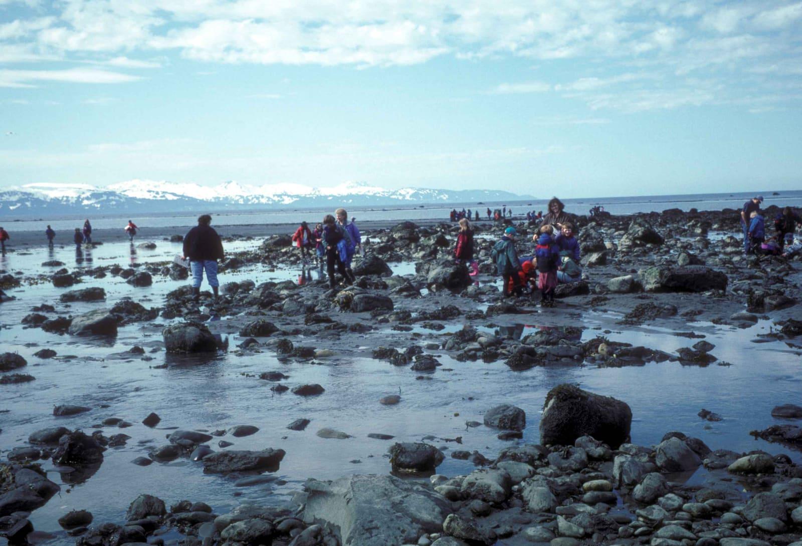 Homer, Alaska Coast Fossil Hunting GuidePlants, Petrified Wood
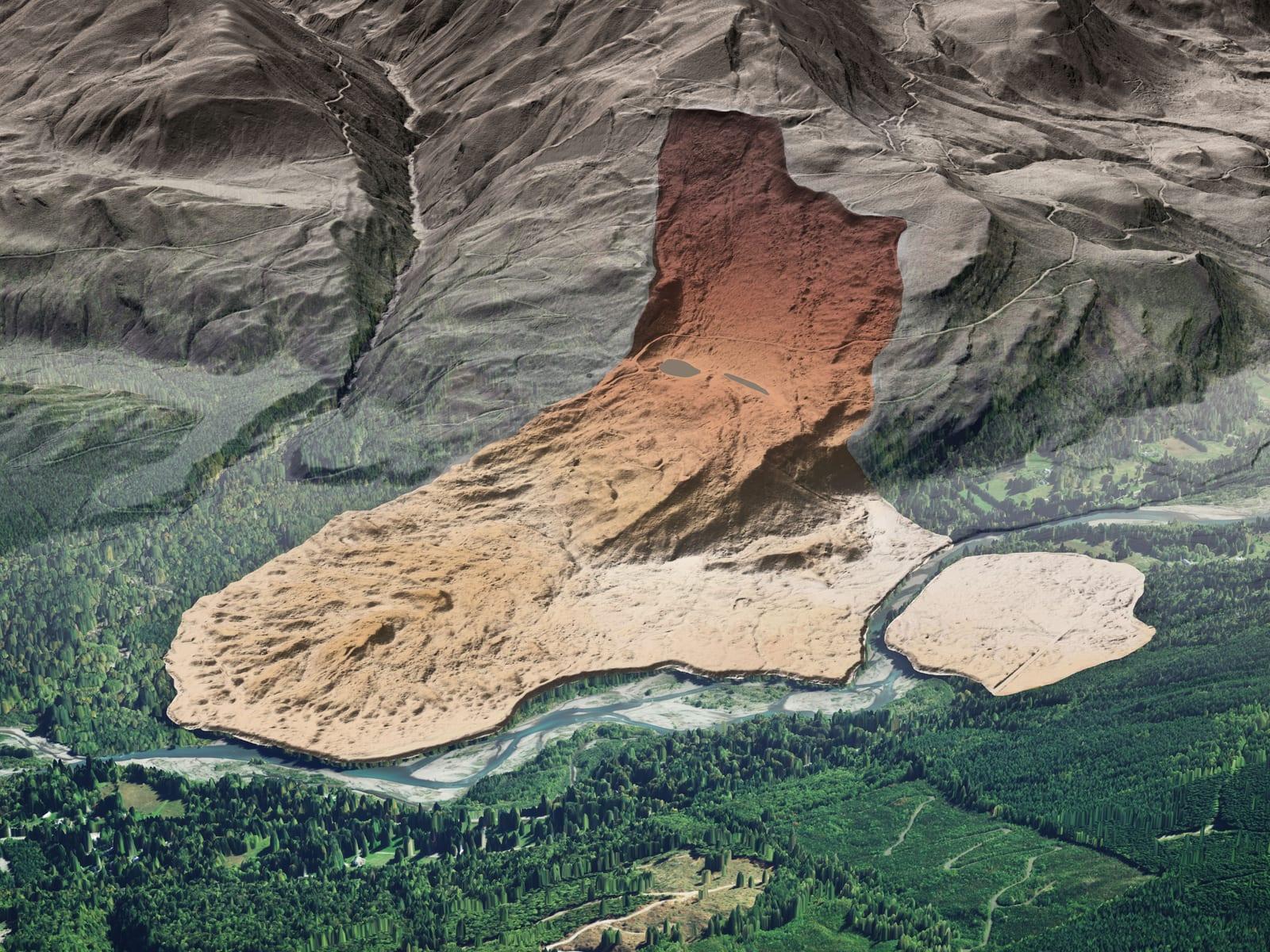 Racehorse Creek Chuckanut Fossil Fields Hunting GuideFossil palm fronds (Sabalites), Tree fern fronds (Cyathea pinnata)
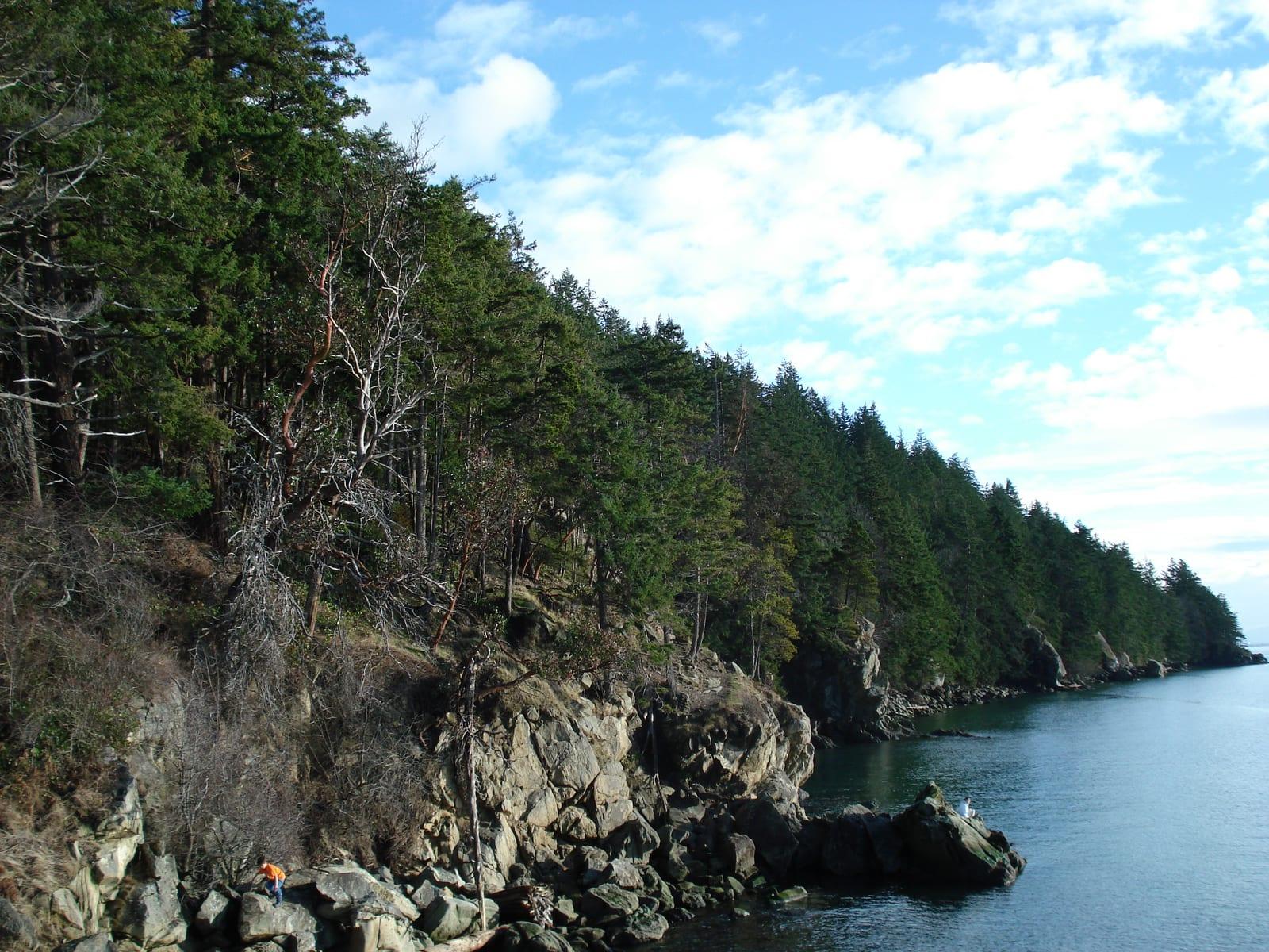 Chuckanut Drive & Larrabee State Park Fossil Hunting GuideFossil palm fronds (Sabalites), Fossil leaves
 Fort Ward Park (Blakeley Formation) Fossil Hunting GuideMarine mollusks, Crab concretions