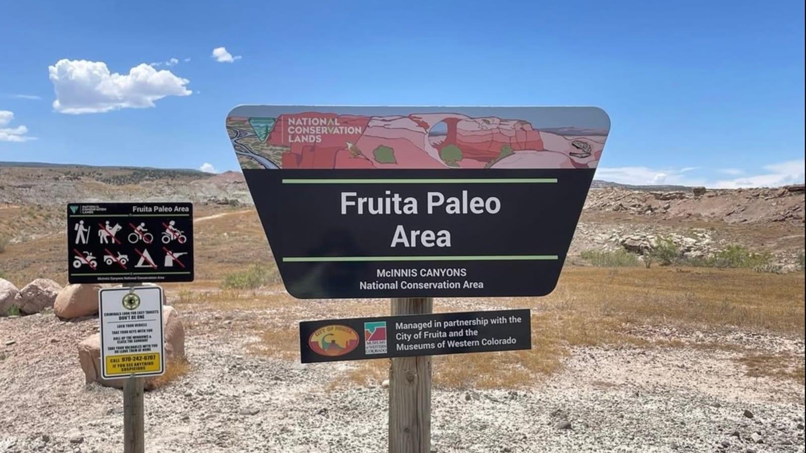
Fruita Paleontological Area Fossil Hunting Guide
Image: Andrew Knight (Used with permission)
The Fruita Paleontological Area near Fruita, Colorado protects Upper Jurassic Morrison Formation rock that produced Fruitadens, Fruitafossor, and Fruitachampsa. An interpretive loop crosses the former quarries. No fossils remain on the surface and collecting is not permitted. The finds are on display at Dinosaur Journey, three miles away.
By Edward Chen · Published 23 July 2026
The Fruita Paleontological Area sits in the high desert west of Fruita, Colorado, on land the Bureau of Land Management manages as an Area of Critical Environmental Concern. It was the first parcel the BLM set aside specifically for its fossil resources rather than for scenery or recreation. The rock exposed here belongs to the Upper Jurassic Morrison Formation, the same unit that produced the giant sauropods on display in museums across North America. What sets Fruita apart is the opposite end of the size range. The site is one of the best places in the world to study the small animals of the Late Jurassic, the mammals, lizards, frogs, and miniature dinosaurs that lived in the shadow of the sauropods roughly 150 million years ago.
This is a viewing site, not a collecting site, and it is worth being blunt about what that means in practice. There are no fossils left on the surface at the FPA to look at. Everything the site has produced is held by the Museums of Western Colorado, and the Dinosaur Journey Museum that displays it is about three miles away across the Colorado River. What you get on the ground is an interpretive loop through the quarries the fossils came out of, in country that is worth walking for its own sake. If you want to see the fossils, the museum is the other half of the trip. If you want to dig, that is a different site again, and the Collecting Rules section below says where.
This guide covers how to reach the trail, what the site has produced, the geology behind those finds, the rules that govern the area, and where to go if you actually want to dig.
Location and Directions
The Fruita Paleontological Area lies in the Grand Valley of western Colorado, a short drive from the town of Fruita in Mesa County. The trailhead is at approximately 39.151 degrees north, 108.764 degrees west.
From Interstate 70, take the Fruita exit and drive south on Colorado Highway 340 (Broadway) for about 1.5 miles. Turn right onto Kingsview Road, which becomes Horsethief Canyon Road, and continue roughly 2.2 miles to the signed trailhead. The final approach is a maintained road suitable for standard vehicles.
A gravel parking area at the trailhead has room for cars, trailers, and recreational vehicles. Facilities include pit toilets, picnic tables, and the historic Skinner Cabin, which has been made accessible under the Americans with Disabilities Act. There is no potable water on site, so bring your own. The area is open year-round for day use, there is no entrance fee, and leashed pets are allowed. The interpretive trail is packed dirt and sand, and the first section near the trailhead is graded to accommodate wheelchairs and mobility devices.
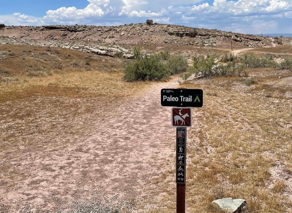
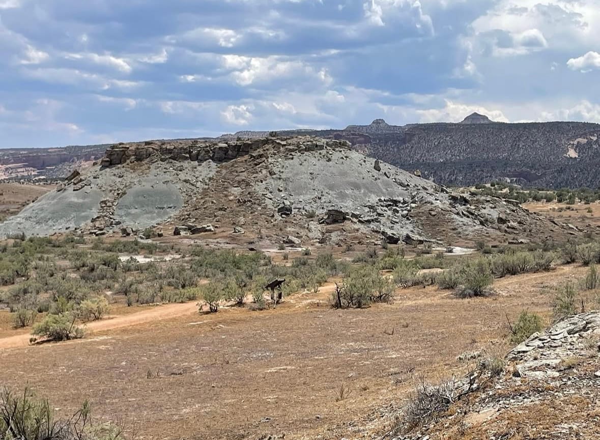
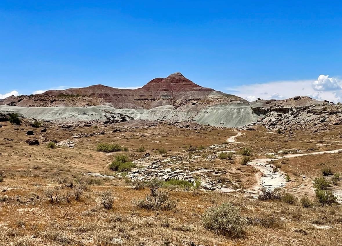
The Paleo Loop is a foot trail only. Horses, bicycles, and motor vehicles are all signed out at the trailhead. From the parking area the path drops onto open ground and runs between the low grey hills that hold the fossil-bearing beds.
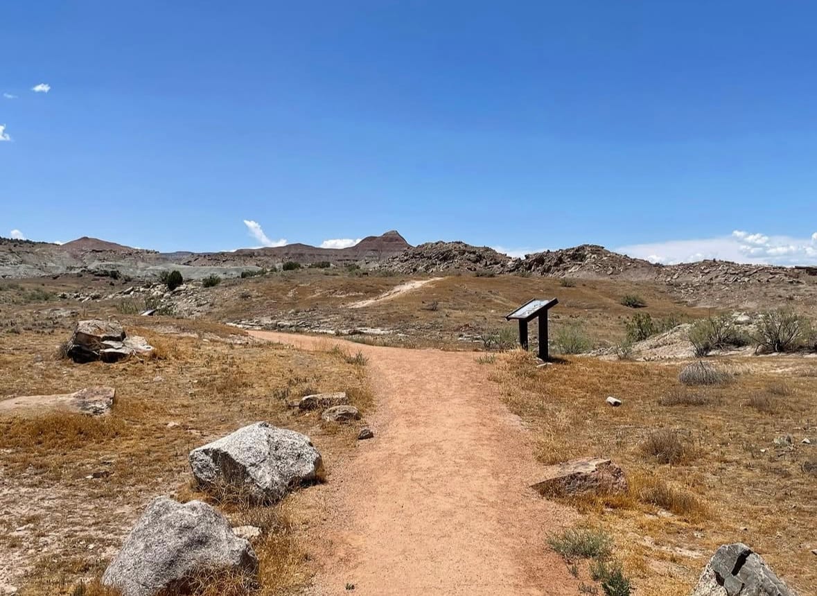
One practical warning. The interpretive panels are in poor condition. Most have suffered weather damage, some have been vandalised, and roughly a third are no longer readable at all. The ones that have survived are genuinely good, but do not plan a visit around reading the full sequence, and do not expect the trail to explain itself end to end.
What Fossils You'll Find
You will not find fossils at the Fruita Paleontological Area. Collecting is prohibited, and the surface material is worked out: the quarries the trail passes are former quarries, and what came out of them is in the collections of the Museums of Western Colorado. The fossils described below are what the site has produced and where you can now see them. They are the reason the ground is protected.
Three species carry the town's name, and all three came from here. Fruitadens haagarorum is among the smallest ornithischian dinosaurs known, roughly two feet long. Fruitafossor windscheffeli is a small burrowing mammal with teeth suited to eating insects such as termites, named in part after a local collector. Fruitachampsa callisoni is a small crocodile relative. Alongside them the fine-grained beds have yielded fish, frogs, lizards, and other crocodyliforms, a range of small animals that is rare in the Morrison Formation and is what makes the site scientifically important. Whole and partial skeletons of animals this size are very unusual in the Jurassic rocks of North America, and their abundance here is what prompted the BLM to protect the area.
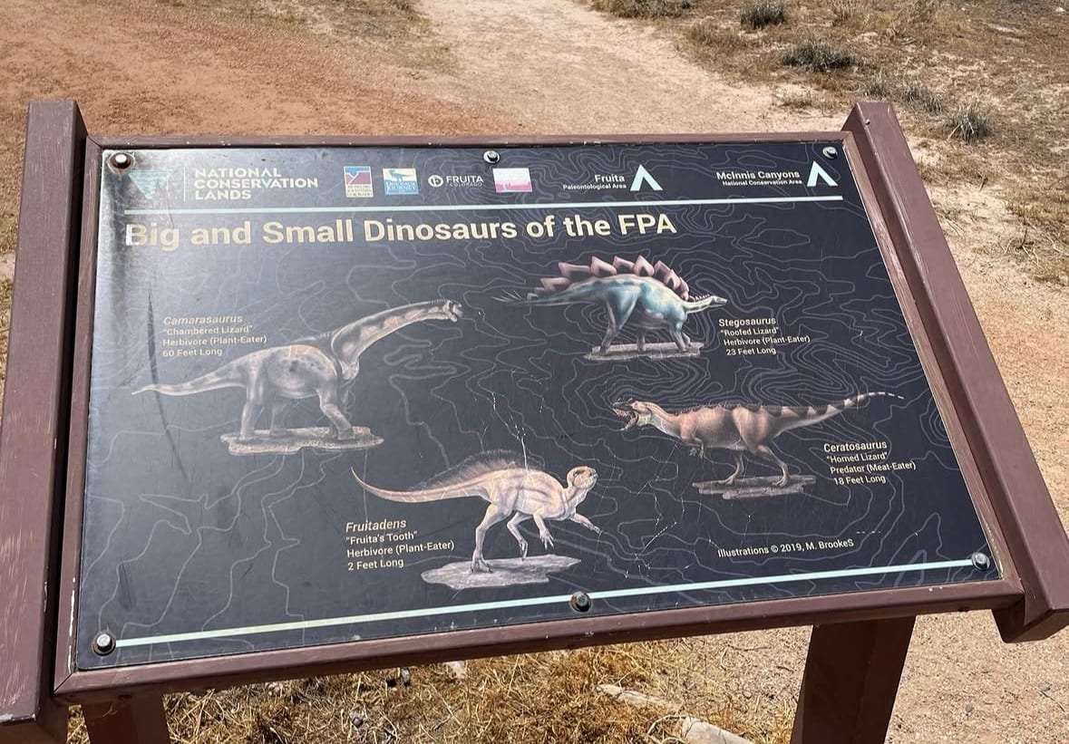
The larger Morrison dinosaurs are here too, and the trailside panel lays out the size range: Camarasaurus at sixty feet, Stegosaurus at twenty-three, Ceratosaurus at eighteen, and Fruitadens at two. Seeing them drawn to the same scale is the clearest single thing the trail does.
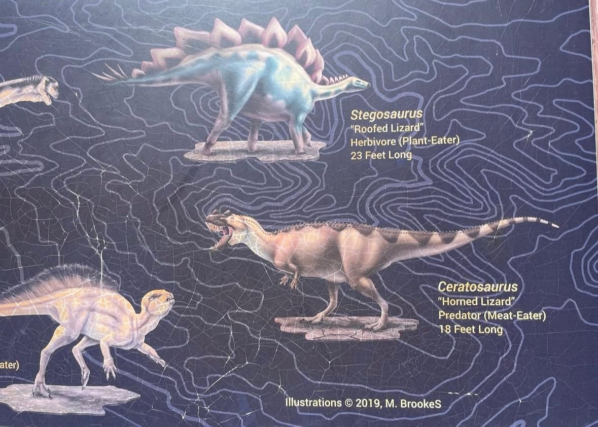
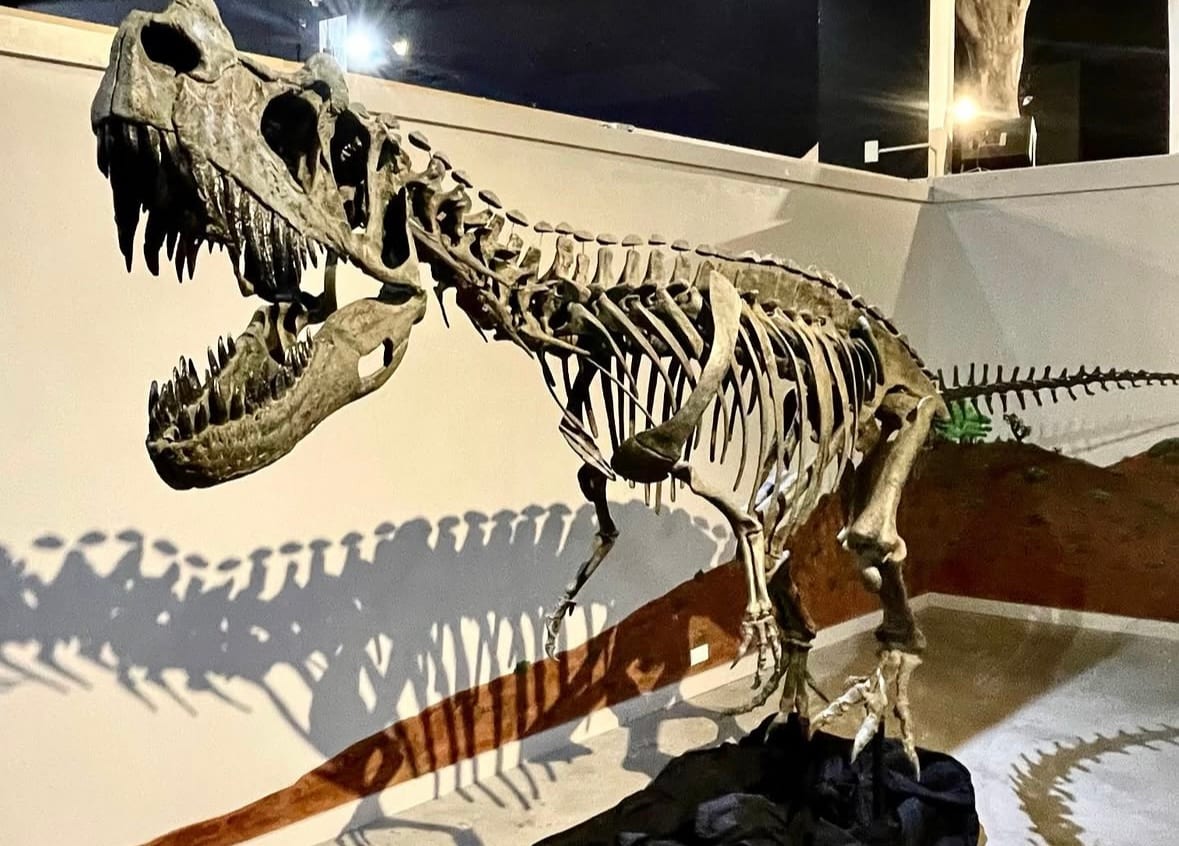
The single most significant specimen from the area is a Ceratosaurus. In 1976 a well-preserved cranium was uncovered at the FPA, complete with the prominent trio of nasal and lacrimal horns that give the genus its name. That skull is now the first thing visitors meet when they walk into the Dinosaur Journey Museum, displayed alongside a fully reconstructed Ceratosaurus skeleton.
Geologic History
The Morrison Formation was laid down across a broad region of western North America during the Late Jurassic, between about 155 and 148 million years ago. The setting was a low-relief plain crossed by rivers, dotted with ponds and floodplains, and subject to a strongly seasonal climate that alternated between wet and dry periods. Sediment carried by the rivers buried the remains of the animals that lived and died on the plain.
At Fruita, the rock records the quieter parts of that landscape. Much of the small-vertebrate material comes from fine-grained overbank and pond deposits, the kind of low-energy settings where delicate bones of frogs, lizards, and mammals could be buried without being destroyed. That is the reason the site preserves the small fauna so well while many other Morrison quarries, formed in higher-energy river channels, mostly yield the heavy bones of large dinosaurs. Detailed study of how the Fruita fossils were buried has made the area a reference point for understanding Morrison environments.
The difference between those two settings is legible in the landforms themselves, and one of the better-preserved panels on the trail explains it directly. Hard sandstone, deposited in river channels and cemented by minerals moving through its open pore space, caps the hills. Soft mudstones, claystones, and shales, laid down on the floodplains between the channels, form the slopes below. The sandstone resists erosion and the mudstone does not, which is what produces the flat-topped mesas and sloped badlands you are standing in.
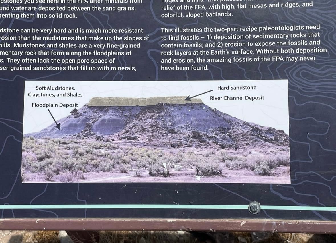
The panel makes a second point that is easy to miss: finding fossils takes both halves of the process. Sediment has to bury the animals, and erosion has to cut back down to them. Without both, nothing here would ever have been found.
How the site was found
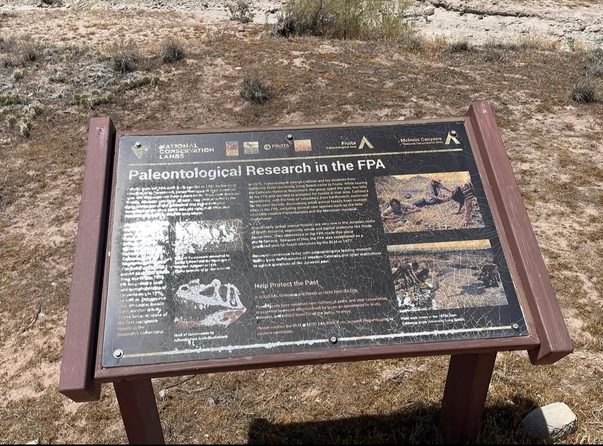
The FPA came to scientific attention in 1975, when the palaeontologist George Callison brought students from California State University, Long Beach to the Grand Valley. Touring the Colorado National Monument, the group noticed the grey, low hills north of the river and decided to prospect them. Callison's expeditions continued for the next decade with help from Earthwatch volunteers, working multiple sites within what is now the FPA and turning up the small-animal material the area is known for, including Fruitachampsa and Fruitafossor. The BLM designated the area a protected fossil resource in 1977. Research continues today, led by teams from the Museums of Western Colorado and other institutions.
Collecting Rules and Regulations
Fossil collecting is not allowed at the Fruita Paleontological Area. The site is protected both as a BLM Area of Critical Environmental Concern and under the Paleontological Resources Preservation Act, the federal law that governs vertebrate and scientifically significant fossils on public land. Removing, casting, defacing, or disturbing any fossil is prohibited. Vertebrate fossils on federal land may only be collected under a scientific permit issued to qualified researchers.
Visitors are welcome to photograph the exposures. Stay on the marked interpretive trail, do not dig or hammer anywhere in the area, and report any newly exposed bone to the BLM Grand Junction Field Office rather than touching it. The trailside panel gives the BLM number for reporting suspected illegal digging or vandalism as (970) 244-3000.
The same restriction applies more widely than most visitors expect. The trails around Fruita and across the Utah border are largely BLM land, and several of them lead to dinosaur bone visible in place. All of it is protected, none of it may be collected, and the same is true of the state parks and federal land that make up most of the Dinosaur Diamond.
Where you can actually dig
If you want to dig rather than look, the nearest place to do it legally is the Mygatt-Moore Quarry, just over the Colorado border from eastern Utah on the way to Grand Junction. The quarry is managed by the Museums of Western Colorado, and members of the public can book a half day or a full day working in it. Every fossil recovered stays with the museum, which is the trade: you are joining a real excavation rather than collecting for yourself. As a first experience of digging in a dinosaur quarry it is an unusually accessible one.
Combining the two makes the better trip. The FPA gives you the ground the fossils came out of, Dinosaur Journey has the fossils, and Mygatt-Moore is where you can put a tool in the rock yourself.
Safety
The Fruita Paleontological Area is high desert with little shade. Summer temperatures are high, and there is no drinking water at the trailhead, so carry more water than you expect to need and wear sun protection. The trail surface is packed dirt and sand with some uneven and rocky sections away from the graded opening stretch, so wear closed shoes with good traction.
Watch for rattlesnakes in warm weather and give any snake a wide berth. Cell reception in the area is inconsistent, so tell someone your plans before you go and do not rely on a phone for navigation. The trail is for foot traffic only. Keep dogs leashed, and stay back from the edges of steep exposures.
Sources
- Bureau of Land Management, "Fruita Paleo Area." https://www.blm.gov/visit/fruita-paleo-area
- Bureau of Land Management, paleontology programme. https://www.blm.gov/programs/paleontology
- Uncover Colorado, "Fruita Paleontological Area." https://www.uncovercolorado.com/activities/fruita-paleontological-area/
- Museums of Western Colorado, Dinosaur Journey Museum and the Mygatt-Moore Quarry dig programme. https://museumofwesternco.com/
- On-site BLM interpretive panels at the Fruita Paleo Area: "Paleontological Research in the FPA", "Big and Small Dinosaurs of the FPA", and the panel on sandstone and mudstone deposition. Photographed July 2026.
Contributors
Site information, the account of current trail and signage conditions, and all ten photographs on this page were contributed by Andrew Knight, a ranger at Utah Raptor State Park, from a July 2026 visit. Photographs used with permission.
Nearby sites
 Cedar Mountain Formation Yellow Cat Member Fossil GuideDinosaurs, Utahraptor
 Dinosaur National Monument Quarry Exhibit Hall Fossil Hunting GuideAllosaurus fragilis, Apatosaurus louisae
 Cleveland-Lloyd Dinosaur Quarry Fossil Hunting GuideAllosaurus fragilis, Camarasaurus
 San Rafael Swell Fossil GuidePetrified wood, Ammonites