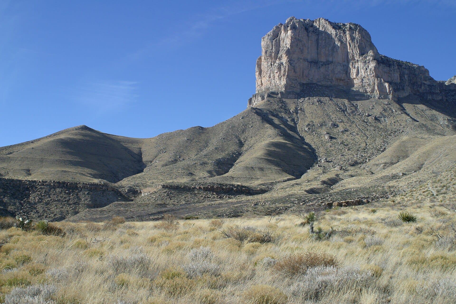
Guadalupe Mountains National Park Fossil Reef Guide
Image: National Park Service (Public Domain)
Guadalupe Mountains National Park in west Texas preserves one of the world's best-exposed Permian reef systems, the Capitan Limestone, approximately 265 to 260 million years old, packed with brachiopods, crinoids, ammonoids, nautiloids, and sponges visible on surface trails. Fossil collection is prohibited. The site is for viewing only.
By Edward Chen · Updated 4 August 2026
Introduction
Guadalupe Mountains National Park in far west Texas contains one of the finest exposed examples of an ancient reef in the world. The rocky escarpment rising above the Chihuahuan Desert is not a mountain range in the conventional sense but the eroded remnant of a massive carbonate reef that grew in a warm inland sea roughly 265 to 260 million years ago during the Permian Period. The reef is preserved in fine detail, and the park has trail access to outcrops where Permian marine fossils are visible in the rock face.
The formation responsible for the park's geology is the Capitan Limestone, the reef unit that rimmed the Delaware Basin. The basin itself filled with the sandstones of the Delaware Mountain Group, which is a separate sequence deposited in deeper water behind and below the reef front. This reef system originally extended in a horseshoe shape around the margins of the Delaware Basin, a deep Permian sea occupying what is now the Permian Basin oil country of west Texas and southeast New Mexico. The Guadalupe Mountains form the most prominent and accessible section of this reef today, with Carlsbad Caverns National Park in New Mexico preserving the northern arm of the same structure.
Fossil collection is not permitted anywhere within the national park. The fossils here are part of the federal land and are protected under the Antiquities Act and the Archaeological Resources Protection Act. The site is for viewing only, but what you can see on foot is substantial, including brachiopods, crinoids, bryozoans, sponges, nautiloids, and ammonoids visible in the cliff faces and on trail surfaces.
Location and Directions
Guadalupe Mountains National Park sits on the Texas-New Mexico border in Culberson and Hudspeth counties, approximately 55 miles southwest of Carlsbad, New Mexico, and 110 miles east of El Paso, Texas. The park is accessible via US Highway 62/180.
From El Paso, take US-62/180 east for about 110 miles. The Pine Springs Visitor Center will appear on the right side of the highway. From Carlsbad, New Mexico, take US-62/180 southwest for approximately 55 miles to the park entrance.
The Pine Springs Visitor Center at 400 Pine Canyon Road is the main entry point. It houses exhibits on the geology and ecology of the park, a bookstore, and ranger staff who can advise on current trail conditions. Parking is available at the visitor centre. A second entrance point, the Dog Canyon area on the north side of the park, is reached via a longer drive through New Mexico.
The park is remote. The nearest town with full services is White's City, New Mexico, a few miles north on US-62/180. El Paso is the nearest large city. Fuel and supplies should be obtained before arriving. There is no petrol station within the park. The elevation at the visitor centre is around 5,700 feet. The summit area, El Capitan and Guadalupe Peak, reaches over 8,700 feet.
 Photo: Leaflet, CC BY-SA 3.0, via Wikimedia Commons

 Photo: James St. John, CC BY 2.0, via Wikimedia Commons
_1_(37795080714).jpg)
 Photo: NPS/Bieri, public domain, via National Park Service
What Fossils You'll Find
The Capitan reef system preserves a diverse Permian marine community that lived at the edge of the Delaware Basin reef. The NPS identifies the following fossil types as documented from the park: brachiopods, crinoids, ammonoids, nautiloids, bryozoans, sponges, algae, fusulinids (a type of foram), ostracods, sea urchins, and trilobites, though the last are rare in this formation.
The reef system is divided into distinct zones, each with a characteristic fauna. The fore-reef, which built out into deeper water, is rich in silicified brachiopods, bryozoans, and echinoderms. These organisms lived at the seaward margin of the reef where current action and oxygenated water supported dense filter-feeding communities. The main reef core was built primarily by calcareous algae, sponges, and bryozoans whose interlocking skeletons created the rigid framework of the reef. The back-reef lagoon behind this core preserved brachiopods, crinoids, and fusulinids in quieter shallow water. Deeper in the basin, away from the reef edge, black organic-rich limestones accumulated in low-oxygen bottom conditions.
On the trails, the most commonly visible fossils are brachiopods preserved as slightly raised or sunken imprints on weathered limestone surfaces, and the cylindrical segments of crinoid stems appearing as coin-like discs a few millimetres across. These are visible in trail cut surfaces and on exposed cliff faces without any special equipment, just observation.
Geologic History
During the middle to late Permian, approximately 270 to 260 million years ago, a deep marine basin called the Delaware Basin occupied the region now covered by the Permian Basin. The basin was bordered on its western and northern margins by a narrow, shallowing shelf where carbonate sediments accumulated and reef organisms thrived. The Capitan Limestone records the reef margin of this system.
The reef grew over several million years during the Guadalupian Epoch of the Permian, building upward and outward as sea level fluctuated. The organisms responsible were primarily calcareous sponges, tubiphytes (encrusting organisms of uncertain affinity), and various calcareous algae that precipitated carbonate from the warm, clear water. Behind the reef, evaporite minerals including gypsum and salt accumulated in the restricted lagoon as water evaporated faster than it was replenished. These evaporites are visible in the back-reef exposures at lower elevations within the park.
At the close of the Permian, approximately 252 million years ago, the sea retreated and the entire reef system was buried by evaporite and continental sediments. The reef was preserved in the subsurface for over 200 million years. Uplift beginning in the Miocene and accelerating through the Pliocene and Pleistocene brought the buried reef to the surface as the surrounding basin material was stripped away by erosion, exposing the resistant carbonate cliff faces now visible above the desert floor.
The same reef system formed the limestone through which Carlsbad Caverns and Lechuguilla Cave were carved by sulfuric acid dissolution, a process unrelated to surface karst and driven by hydrogen sulfide rising from hydrocarbon deposits below.
 Photo: Fredlyfish4, CC BY-SA 3.0, via Wikimedia Commons

Trail Access for Fossil Viewing
Two trails offer particularly good access to fossil-bearing reef exposures in the park.
The McKittrick Canyon Nature Trail is a 0.9-mile round trip rated easy by the NPS. McKittrick Canyon is on the north side of the main park area and is reached by a separate road from the highway. The trail follows the canyon floor through riparian vegetation before reaching exposures of the reef limestone in the canyon walls. The canyon is also one of the best places in west Texas to see fall colour, and the combination of fossils and autumn foliage makes October a popular time to visit.
The Permian Reef Trail is a more demanding 8.4-mile round trip gaining over 2,000 feet in elevation. This trail climbs from the canyon floor through all the major reef facies from the basin to the back-reef, providing a cross-section through the ancient reef structure. The NPS describes this trail specifically as a geology hike through the reef. The ascent passes through the fore-reef, reef core, and back-reef zones in succession, with increasingly panoramic views over the desert floor below. The trail requires a full day and adequate water.
The Guadalupe Peak Trail, at 8.4 miles round trip with 3,000 feet of elevation gain, reaches the summit of the highest point in Texas at 8,749 feet and passes through reef and back-reef limestone throughout.
Collecting Rules and Regulations
No fossil or rock collecting is permitted anywhere in Guadalupe Mountains National Park. This prohibition applies to surface finds, loose material, and any excavation. Removal of any natural object, including rocks, minerals, fossils, and plants, from federal National Park land is prohibited under the NPS Organic Act and the Antiquities Act.
Violations carry civil and criminal penalties. Rangers are active throughout the park and along the major trails.
Photography of all fossil exposures is unrestricted and encouraged. The NPS explicitly supports documentation of natural features for non-commercial purposes.
The park charges no entry fee. There is no reservation required to access the trails.
Safety
The Guadalupe Mountains are remote high desert terrain. Summer temperatures exceed 38 degrees Celsius at lower elevations, while wind is persistent and can be severe year-round. The park records some of the highest sustained wind speeds in the continental United States. A windbreaker is advisable on any trail at any time of year.
Water is the critical supply. There is no water available on any backcountry trail and no surface water that is safe to drink. The NPS recommends carrying at least one litre per hour for strenuous hikes in warm weather. The Permian Reef Trail and Guadalupe Peak Trail both require a full day of hiking with all water carried from the trailhead.
Afternoon thunderstorms occur in summer, typically July through September, and the open ridge trails are exposed to lightning. Start early and plan to be off exposed terrain before midday in the monsoon season.
The nearest hospital is in Carlsbad, New Mexico, or El Paso. Cell phone coverage is extremely limited within the park. Register your hike intentions at the visitor centre before heading out on longer trails.
Sources
https://www.nps.gov/gumo/learn/nature/geologicformations.htm https://www.nps.gov/gumo/learn/nature/fossils.htm https://www.usgs.gov/geology-and-ecology-of-national-parks/geology-guadalupe-mountains-national-park
Nearby sites
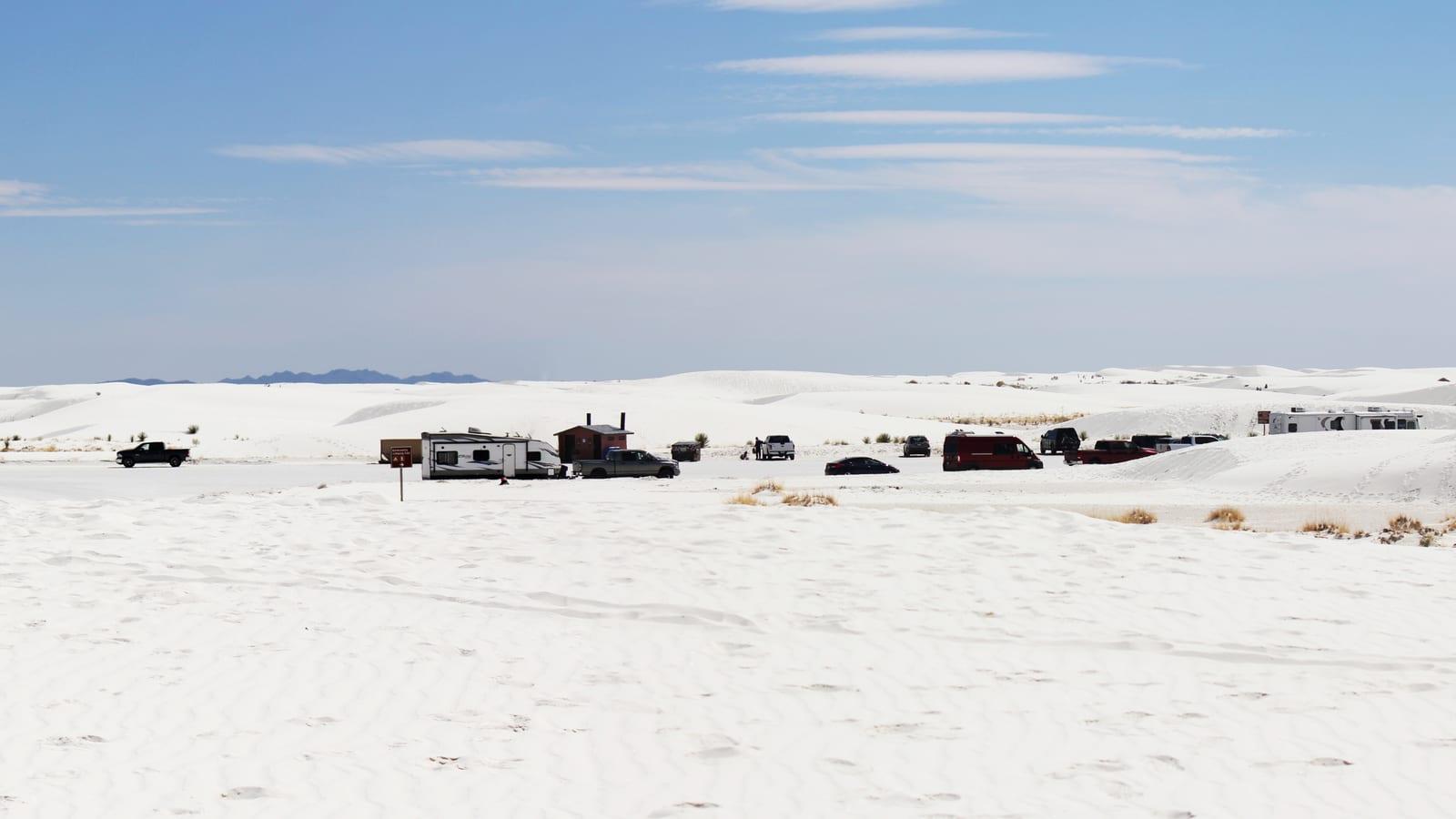 White Sands National Park Fossil Hunting GuideHuman footprints, Smaller vertebrate tracks
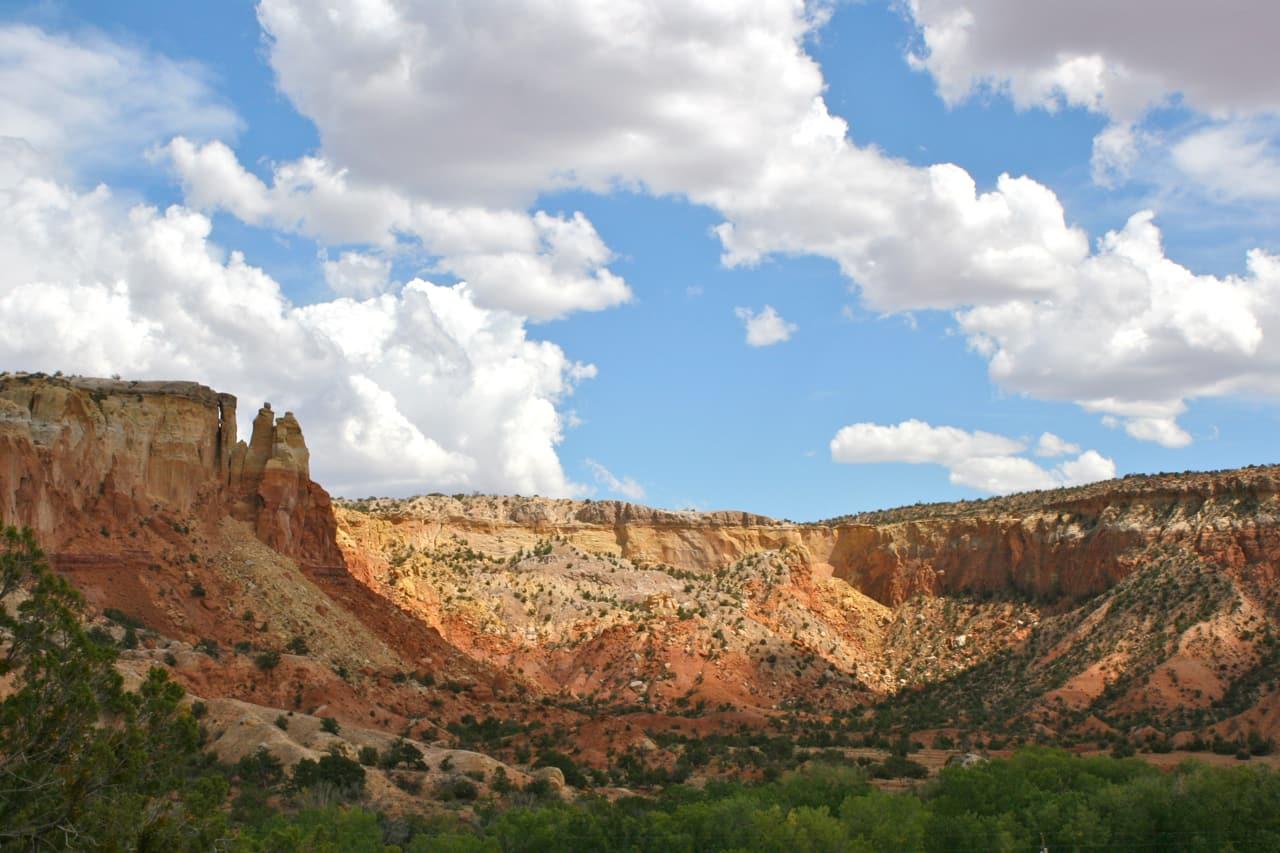 Ghost Ranch Coelophysis Quarry Fossil GuideCoelophysis bauri, Phytosaurs
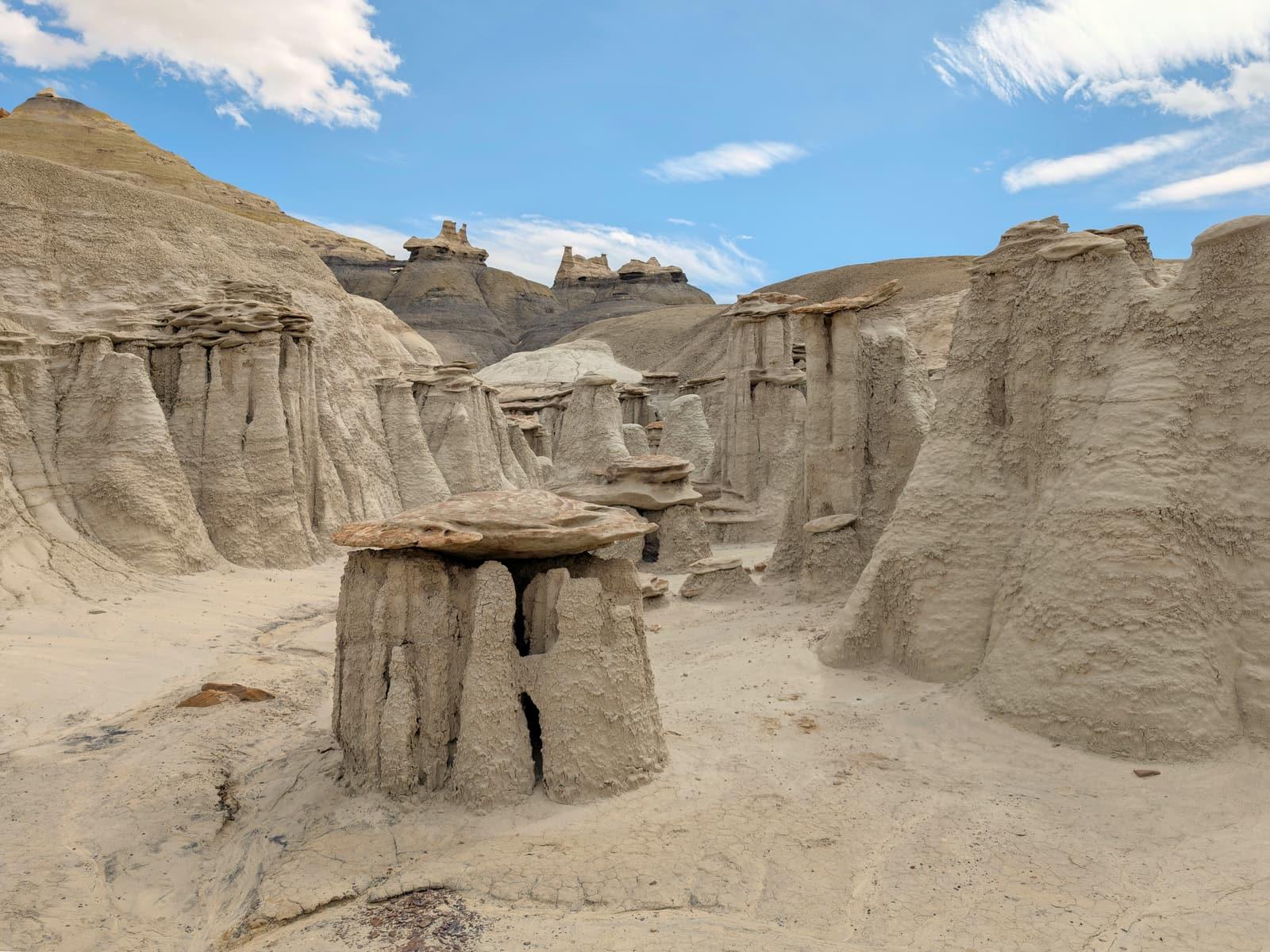 Bisti / De-Na-Zin Wilderness Fossil GuidePetrified wood, Fossil leaves
 Petrified Forest National Park Fossil Hunting GuidePetrified Araucarioxylon logs, Phytosaurs