Scotia Bluffs Fossil Hunting Guide
Image: Doug Olson (CC BY-SA 3.0)
The Scotia Bluffs along the Eel River in Humboldt County expose the Pliocene to Pleistocene Rio Dell Formation, a shallow-marine unit full of clams, snails, sand dollars, and microfossils. The bluffs sit on private timber-company land, so access requires checking in first.
By Edward Chen · Updated 3 August 2026
Introduction
The Scotia Bluffs rise along the Eel River between the timber towns of Scotia and Rio Dell in Humboldt County. They expose the Rio Dell Formation, part of the Wildcat Group, a thick sequence of Pliocene to Pleistocene marine mudstone and sandstone that records a cool northern California sea of roughly three to one million years ago.
The formation is well known to Bay Area and North Coast fossil collectors for its clams, snails, sand dollars, and the microscopic shells that geologists use to date the beds. The bluffs sit on private timber-company land, though, so this is not an open site. Access depends on the landowner, and visitors have traditionally needed to check in before walking to the bluffs.
Location and Directions
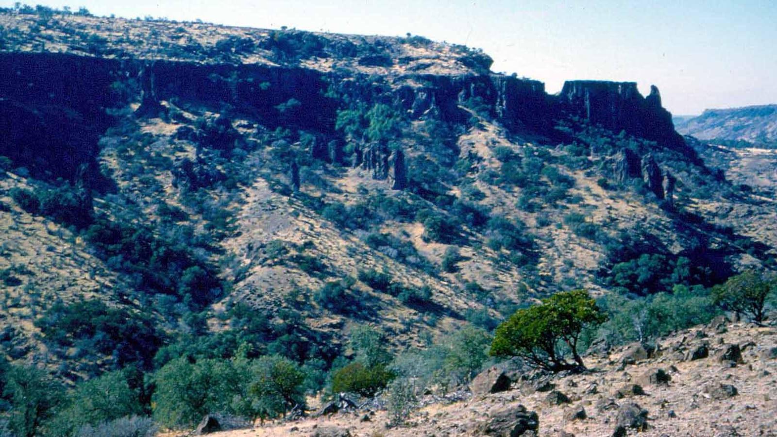
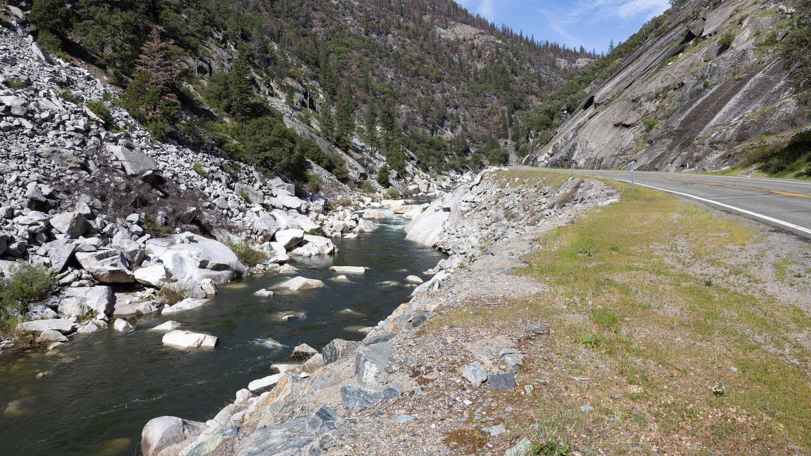
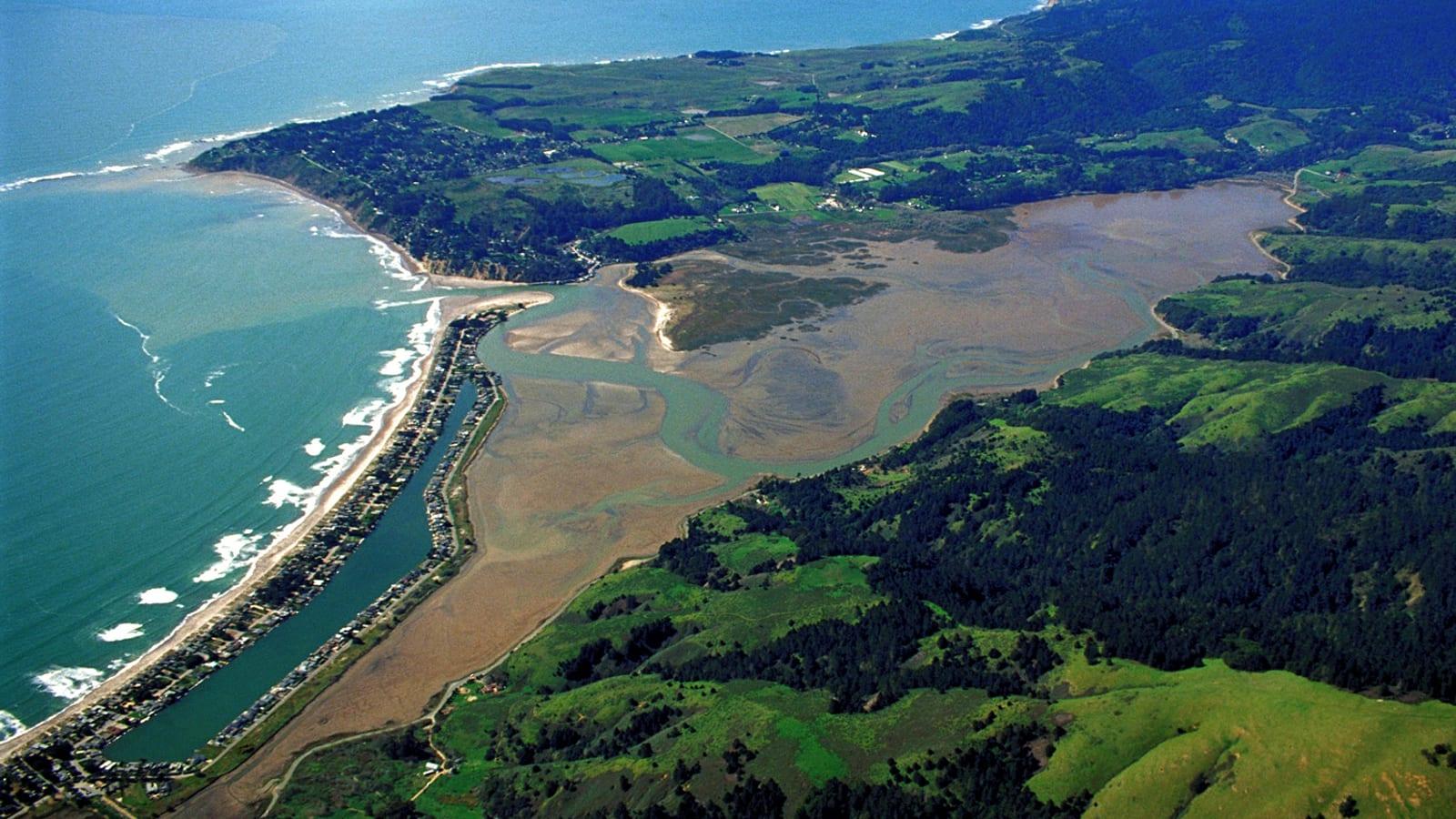
Scotia lies along U.S. Highway 101 about 25 miles south of Eureka, near 40.51°N, 124.09°W. The bluffs run along the Eel River near the Rio Dell and Scotia bridge. The traditional approach follows an old railroad grade under the highway from a parking area, but that land belongs to the local timber company.
Do not simply walk in. Check current access with the landowner or the town of Scotia first, since ownership and rules have changed over the years. Scotia and nearby Rio Dell and Fortuna have fuel and food.
 Photo: Ellin Beltz, CC BY-SA 3.0, via Wikimedia Commons
 Photo: Thewellman, CC0, via Wikimedia Commons
What Fossils You'll Find
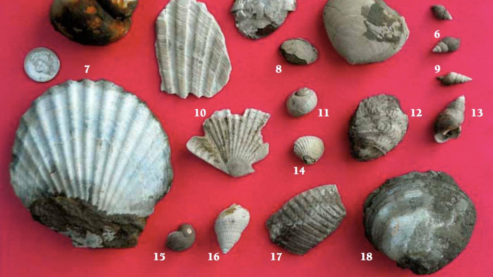
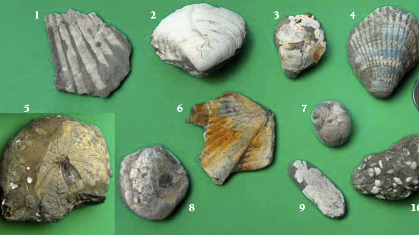
The Rio Dell Formation preserves a shallow-marine fauna. Bivalves, including clams and scallops, are the most common finds, often as pale shells in grey mudstone. Gastropods, the marine snails, occur alongside them. Sand dollars weather out of some beds as flat, round disks. The formation is also full of foraminifera, single-celled shelled organisms too small to see clearly by eye but important for dating the rock.
Those foraminifera matter more than their size suggests. Because different species lived at different depths and in different water temperatures, and because they changed rapidly through time, geologists use them to date these beds and to work out how deep the water was when each layer formed. The Wildcat Group is one of the reference sequences for that work on the Pacific coast, which is why a formation known to collectors for its clams is equally well known to specialists for its microfossils.
Look along freshly eroded faces and in the loose material at the base of the bluffs, where the river and weather concentrate the harder shells. Damp rock and low-angle light make finds easier to spot.
Winter storms do most of the work here, cutting into the bluffs and dropping fresh material at their feet, so the months after heavy rain are the productive ones. That is also when the river runs highest and the ground is least stable, which is the trade-off at almost every cliff site on this coast.
Geologic History
The Wildcat Group, including the Rio Dell Formation, accumulated in a marine basin off the young northern California coast during the Pliocene and Pleistocene, as sand and mud washed off the rising Coast Ranges and settled among the sea-floor animals. The steady supply of sediment and the productive cool sea gave the formation its dense shell and microfossil record.
The Mendocino triple junction and the active faults of this region have since uplifted and folded the beds, and the Eel River has cut down through them to form the bluffs. Erosion keeps exposing fresh fossil-bearing rock.
That uplift is not a finished process. The triple junction, where the San Andreas fault system, the Cascadia subduction zone, and the Mendocino fracture zone meet, sits just offshore, and it makes this one of the most seismically active parts of the continental United States. The region is rising measurably, and coastal terraces stepped up the hillsides record earlier shorelines lifted clear of the sea. Beds that formed on a sea floor one to three million years ago now stand well above the river, and they got there fast by geological standards.
That has a practical consequence for a visitor. Ground shaken by frequent earthquakes and cut into soft, water-saturated mudstone is ground that slumps, and the bluffs here fail regularly rather than exceptionally.
Collecting Rules and Regulations
The Scotia Bluffs are on private timber-company land, so the first rule is permission. Do not enter or collect without confirming current access with the landowner. Ownership of this ground has changed in recent years, and what was allowed in the past may not be allowed now.
Where access is granted, keep any collecting light and casual, take only common shells, and do not undercut or damage the bluffs. Vertebrate fossils, including marine mammal bone, are scientifically valuable and should be reported rather than removed. When in doubt, treat the bluffs as a viewing site.
Safety
The bluffs are steep and made of soft mudstone and sandstone that slump and fall, so stay back from both the top and the base. This is actively rising, frequently shaken ground, and slope failures here are ordinary events rather than rare ones. Do not shelter under an overhang, do not climb, and give the foot of the bluffs a wide margin after rain, when saturated mudstone is at its least stable.
The Eel River can run high and fast, especially in winter, so mind the water and the tides where the river is tidal. The Eel carries an enormous sediment load and changes its channel readily, so gravel bars that look permanent are not, and the water is colder and pushier than it appears from the bank.
Trains and log trucks use this corridor, so keep off active rail lines and roadways. This is working timber country, and the roads carry heavy vehicles on tight bends.
Wear sturdy footwear and watch for poison oak, which is abundant along the river corridor and grows as both a low shrub and a climbing vine, so it is easy to walk into without recognising it. Ticks are present in the brush. Go with someone rather than alone, tell them your route, and do not count on a phone signal in the river valley.
Sources
https://natmus.humboldt.edu/sites/default/files/geol-fossil-guide.pdf https://en.wikipedia.org/wiki/Wildcat_Group https://pubs.usgs.gov/pp/1168/report.pdf