Kuwajima Fossil Wall and Hakusan Dinosaur Park Shiramine Fossil Hunting Guide
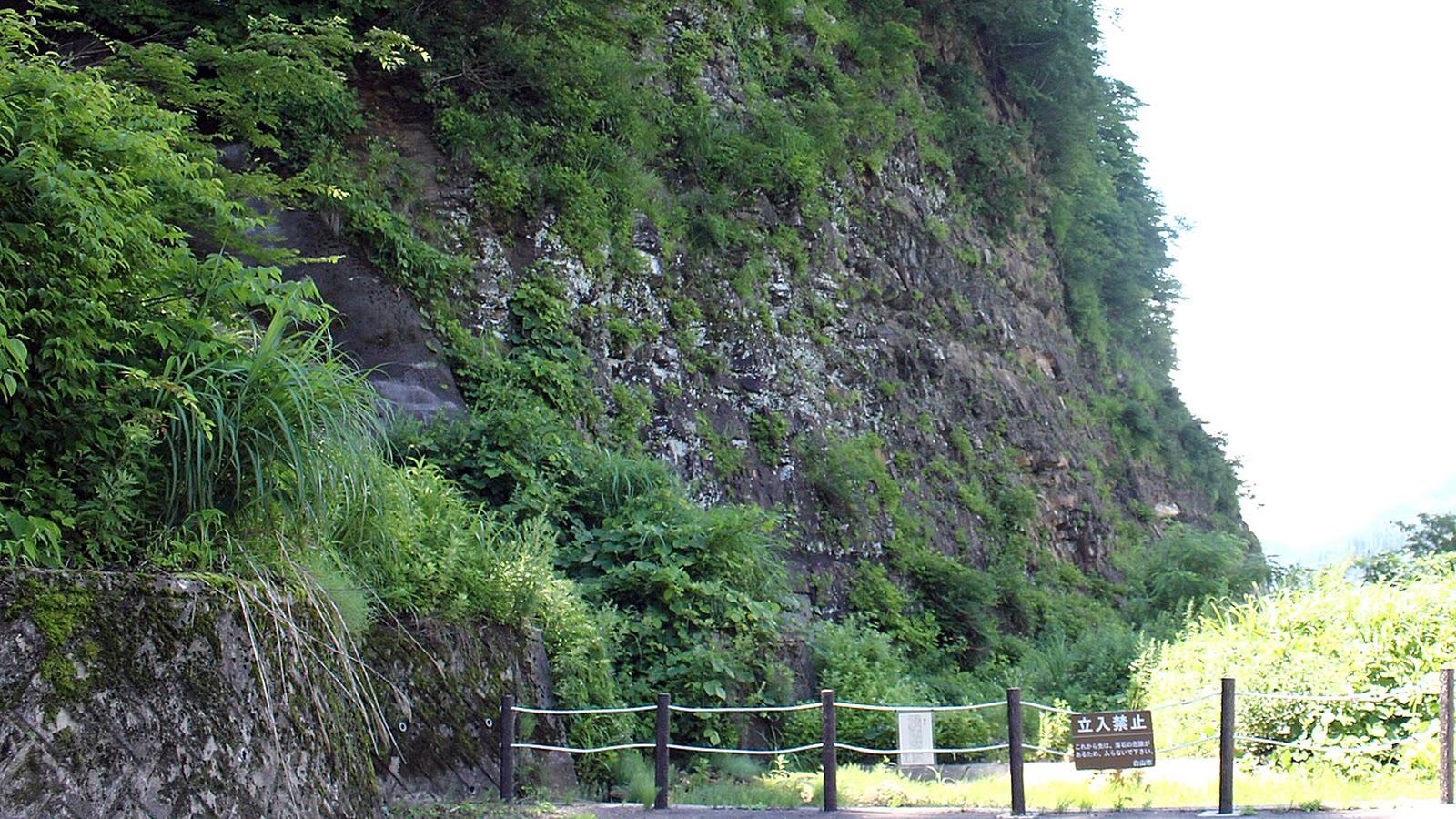
Image: 藤谷良秀 (CC BY-SA 4.0)
The Kuwajima Fossil Wall at Hakusan in Ishikawa Prefecture has produced more than 30 Early Cretaceous vertebrate species from the Kuwajima Formation of the Tetori Group. The bluff itself is a National Natural Monument and closed to entry. The adjacent Hakusan Dinosaur Park Shiramine lets visitors split rock taken from it, without a reservation.
By Edward Chen · Published 12 October 2026
Introduction
More than 30 vertebrate species have come out of the Kuwajima Fossil Wall in Ishikawa Prefecture, from a single Lower Cretaceous outcrop. Matsuoka, Kusuhashi, Takada and Setoguchi published the count from Kyoto University in 2002.
Their tally runs to four fishes, one frog, tritylodontids, three turtles and probably three pterosaurs. It adds seven dinosaurs, seven lizards, one choristodere, one bird and two mammals. They called the site one of the most fertile Early Cretaceous fossil localities in the world.
The Japanese name is Kuwajima Kaseki-kabe, which translates as the Kuwajima fossil bluff. The outcrop was designated a National Natural Monument in 1957. You cannot walk on it or collect from it.
What you can do sits across the road. Hakusan Dinosaur Park Shiramine runs a fossil discovery plaza where visitors split rock taken from the bluff itself. No reservation is needed.
This is not the Fukui dinosaur site. The Fukui Prefectural Dinosaur Museum and the Kitadani quarry at Katsuyama lie about 17 km south-west in a straight line. That is the next prefecture, and it has its own page here. Katsuyama works the Kitadani Formation, which sits higher in the same Tetori Group and is younger. Kuwajima is a small-vertebrate and plant locality, not a named-dinosaur quarry.
Location and Directions
Hakusan Dinosaur Park Shiramine is at 4-99-1 Kuwajima, Hakusan, Ishikawa Prefecture, in the upper Tedori River valley on National Route 157.
GPS: 36.2037°N, 136.6256°E.
The fossil wall stands beside the same road, a short walk from the park, with a roadside viewing place in front of it.
Hakusan City gives the park hours as 09:00 to 16:30, with admission closing at 16:00. The English page of the Hakusan Tedorigawa Geopark gives 09:00 to 17:00 with last entry at 16:30. Take the city figure as the operating one and arrive before 16:00 to be safe.
The park closes on Mondays. When a Monday falls on a public holiday it closes the following day instead.
The park closes for the winter. Hakusan City states the closure as December to March on its cultural property page. Its facility page says only that a winter closure applies. Check by telephone on 076-259-2724 before travelling between late autumn and spring.
Admission costs 520 yen for adults and 200 yen for elementary, junior high and high school pupils. Pre-school children enter free. Entry to the fossil discovery plaza alone costs 550 yen and 300 yen. The combined ticket costs 850 yen for an adult and 400 yen for a child. Hakusan residents enter free on the third Sunday of each month.
 Photo: 藤谷良秀, CC BY-SA 4.0, via Wikimedia Commons

What Fossils You'll Find
The fossil discovery plaza supplies rock from the Kuwajima Fossil Bluff and lets visitors crack it open. The geopark describes the rock as coming from the bluff itself, which is what separates this from a sandbox activity.
Plants are the realistic find. The bluff had been known as a plant fossil locality for more than 120 years before the vertebrates turned up. Silicified wood is the material the Tedori River valley is best known for.
Vertebrate material is small, scarce and hard-won. Most of the 30-plus species came from a research program between 1997 and 2000. That work searched spoil from a road tunnel driven through the mountain behind the bluff. Do not plan a visit expecting a bone.
Named species from the locality include Kuwajimalla kagaensis, a lizard described by Susan Evans and Makoto Manabe in 2008. Its lanceolate denticulate teeth resemble those of the living iguana. The authors read them as the earliest unambiguous record of plant eating in squamates.
Two multituberculate mammals carry names from here. Nao Kusuhashi described Hakusanobaatar matsuoi and Tedoribaatar reini in 2008 from the Kuwajima Formation in the Shiramine district. Both sit in or near the family Eobaataridae.
A tritylodontid, Montirictus kuwajimaensis, was named in 2016 by Hiroshige Matsuoka of Kyoto University with Nao Kusuhashi and Ian Corfe. Tritylodontids are advanced cynodonts, close relatives of mammals rather than mammals themselves.
Two mammal lineages were on the 2002 list, triconodonts and multituberculates. Both were the first of their kind found in Japan and the oldest Japanese mammal records at that time.
Geologic History
The Tetori Group spans the Middle Jurassic to the Lower Cretaceous across Ishikawa, Gifu, Fukui and Toyama. It divides into three subgroups. The marine Kuzuryu Subgroup sits at the base and yields ammonites. The non-marine Itoshiro and Akaiwa subgroups follow in ascending order.
The Kuwajima Formation belongs to the uppermost part of the Itoshiro Subgroup. The Kaseki-kabe exposure correlates with the upper part of that formation.
Dating the group is awkward and the sources say so plainly. The deposits are mostly non-marine, so few horizons carry index fossils. Matsuoka and colleagues noted in 2002 that no reliable radiometric ages had been obtained for the Tetori Group. They placed the Kuwajima Formation tentatively in the lower Neocomian.
Later work moved it younger. Kusuhashi gave the Kuwajima Formation as Barremian to lower Aptian in 2008. Kyoto University quoted 130 to 120 million years in 2016. The range on this page follows the Kyoto University figure, which spans the published positions.
The exposure consists of alternating massive sandstones and mudstones. Three facies carry the fossils. A peat marsh facies and a shallow lake facies yield freshwater animals such as fish, turtles and choristoderes. A third facies holds most of the terrestrial vertebrates, including the tritylodontids, mammals, lizards and dinosaurs. Researchers read it as a vegetated swamp on land that flooded from time to time.
The road tunnel of 1997 is the reason the fauna is known at all. The Shiramine Village Board of Education organized a party to search the tunnel spoil. The vertebrate list grew from that work rather than from quarrying the protected face.
 Photo: 藤谷良秀, CC BY-SA 4.0, via Wikimedia Commons

Collecting Rules and Regulations
Do not enter the fossil wall and do not hammer it. The outcrop has been a National Natural Monument since 1957. Japan protects designated natural monuments strictly, and damage to one is a criminal matter rather than a civil one.
A Hakusan City notice stands at the viewing place behind a rope barrier. It reads 立入禁止, no entry. Rock samples are laid out on the near side of the rope so that visitors can look at the lithologies without crossing it.
Collect only inside the park's fossil discovery plaza, using the rock the park supplies.
Neither Hakusan City nor the geopark states whether participants may keep what they split out. That is not documented. Ask at reception before you start if it matters to you.
The Shiramine Institute of Paleontology operates inside the park and studies the bluff and its surroundings. Show anything unusual to staff.
Safety
Stay behind the rope at the viewing place. The city has closed the face, and a weathering mudstone and sandstone cliff above a road is a rockfall hazard.
Wear eye protection when you split rock. Hammering sandstone throws chips at speed. Ask the park for equipment rather than assuming it is supplied.
Route 157 through the upper Tedori valley is a mountain road in heavy snow country. Shiramine holds deep winter snow, which is why the park closes for several months. Check road conditions as well as park opening before a late-autumn trip.
The park sits beside the river. Keep children away from the bank.
Neither the park nor the city publishes a hazard list for the site. Treat the points above as general cliff and quarry practice rather than as site-specific rules.
Sources
https://www.city.hakusan.lg.jp/shisetsu/bunkashisetsu/1002249.html https://www.city.hakusan.lg.jp/bunka/bunkazai/1006458/1006459/1002373.html https://hakusan-geo.jp/en/area/422/ https://repository.kulib.kyoto-u.ac.jp/dspace/handle/2433/186683 https://www.app.pan.pl/article/item/app53-379.html https://www.kyoto-u.ac.jp/ja/research/research_results/2016/160404_1.html https://palass.org/node/3050 https://www.wikidata.org/wiki/Q65274349
Nearby sites
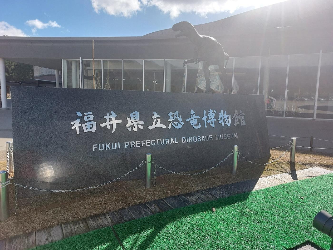 Fukui Prefectural Dinosaur Museum and Katsuyama Dig Fossil Hunting GuideDinosaurs, Plants
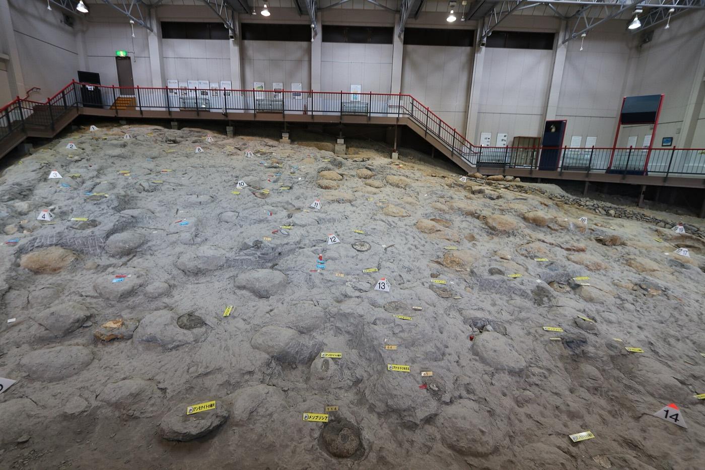 Iwaki City Ammonite Center Fossil Hunting GuideAmmonites, Bivalves
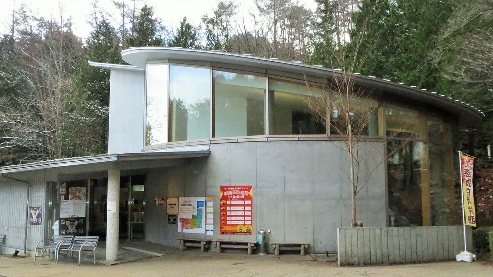 Kuji Amber Museum and Amber Mine Fossil Hunting GuideAmber, Insects
 Sangjogam County Park Dinosaur Trackway Fossil Hunting GuideTrace fossils, Dinosaur tracks