Machinchang Cambrian Geoforest Park Fossil Hunting Guide
Image: CEphoto, Uwe Aranas (CC BY-SA 3.0)
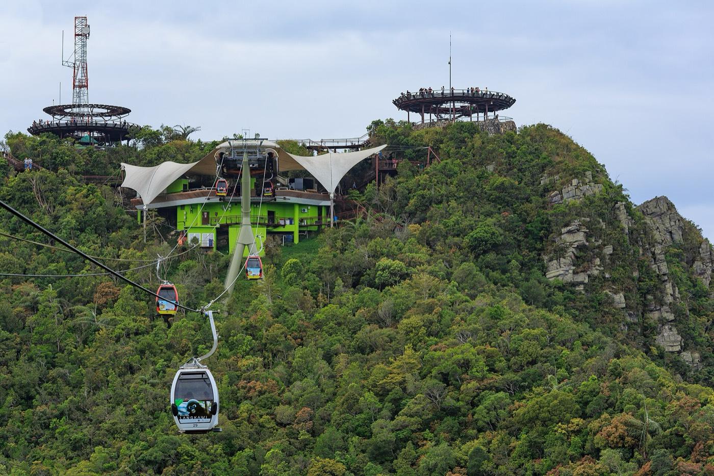
The sandstone ridge on Langkawi that holds the oldest fossil in Malaysia, a saukiid trilobite in the Cambrian Machinchang Formation. A cable car climbs the mountain and the rock exposures run down to the shore.
By Edward Chen · Published 12 September 2026
Introduction
Langkawi is known for beaches and duty-free shopping. That obscures the fact that it holds the oldest rocks in Malaysia and the most complete Palaeozoic record in the region.
The Machinchang Formation is the base of that record. It is Cambrian, and the saukiid trilobite found in its sandstone is the oldest fossil recorded in the country.
The Machinchang Cambrian Geoforest Park covers the ridge on the north-west of the main island. Mount Machinchang rises to about 700 metres and its jagged profile is the result of resistant quartzite weathering. That is why it looks unlike the limestone karst elsewhere on the archipelago.
Langkawi became the first UNESCO Global Geopark in south-east Asia on 1 June 2007, and the Machinchang park is one of three geoforest parks within it.
Location and Directions
The park is on the north-west of Pulau Langkawi, Kedah, off the north-west coast of peninsular Malaysia near the Thai border.
Mount Machinchang GPS: 6.3861°N, 99.6611°E.
Langkawi has an international airport and ferry connections from Kuala Perlis and Kuala Kedah.
The usual way up is the Panorama Langkawi cable car from the Oriental Village at Teluk Burau, which climbs to a ridge station with a sky bridge. It is ticketed and it is the easiest way to see the formation at height.
Walking trails run through the forest below, and coastal exposures are accessible by boat around the north-west shore.
What Fossils You'll Find
Nothing is collectable. The geoforest parks are protected areas inside a UNESCO Global Geopark.
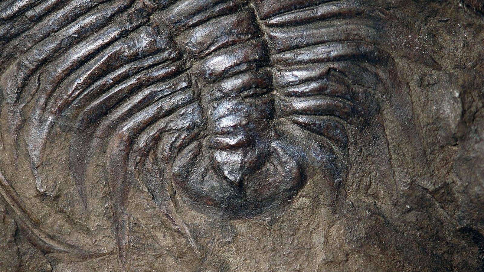
Trilobite material is rare and is not something a casual visitor will see in the rock. The saukiid trilobite that gives the formation its standing is a scientific specimen, not a roadside find.
Trace fossils are the more realistic thing to look for. A Paleodictyon-like trace fossil was described from the Late Cambrian Machinchang Formation at Pulau Jemuruk, and burrows and feeding traces occur in the sandstones.
For prepared material and interpretation, the Langkawi Geopark Discovery Centre in the Kilim Karst Geoforest Park on the east of the island is the place to go. Kilim's younger limestone also yields gastropods, brachiopods and other marine fossils.
 Photo: DerYang2004, CC BY-SA 4.0, via Wikimedia Commons
.jpg)
Geologic History
The Machinchang Formation is Cambrian, broadly 500 to 485 million years ago, and it is dominantly quartzose sandstone with siltstone and shale.
Facies analysis describes it as deltaic and shallow marine, built in a high-destructive, wave-dominated setting, and arranged in a coarsening-upward succession. In plain terms, a river delta built out into a sea where waves reworked the sediment as fast as it arrived.
The quartz-rich composition is why the rock is so resistant and why Machinchang forms a ridge today.
Above the Machinchang sit younger Palaeozoic units, including the Setul Limestone, and the whole sequence records Langkawi's position on the Gondwanan margin before the Sibumasu terrane rifted north.
Langkawi's three geoforest parks divide the story between them. Machinchang holds the oldest rocks, Kilim covers the karst and the mangroves, and Dayang Bunting takes in the marble and the freshwater lake. Seeing one gives an incomplete picture of why the archipelago earned geopark status.
Collecting Rules and Regulations
Collecting is prohibited. The geoforest parks are protected, and Malaysian law protects geological heritage within the geopark.
Do not hammer exposures and do not remove loose material from the shore.
Buying fossils locally is not an alternative. Material offered to tourists in Langkawi is generally imported and often misdescribed.
Langkawi's geology is the reason for its shape. The resistant Machinchang sandstone forms the jagged north-western ridge. The Setul limestone makes the karst towers and sea caves of the east, and granite intrusions underlie the south. The three produce three completely different landscapes on one small island.
Safety
The forest trails are steep, humid and slippery, and the climb to the ridge on foot is strenuous.
The cable car closes in high wind and lightning, which are common in the afternoon.
Langkawi is equatorial. Heat and humidity are constant, and dehydration is the usual problem.
Coastal rock exposures are sharp and are reached by boat, so weather and sea state govern access.
Snakes, monkeys and biting insects are present. Do not feed the macaques.
The cable car is the single most popular attraction on the island and queues are long in the middle of the day. Going early is the usual advice, and it also gives better light on the ridge.
Saukiids are late Cambrian trilobites, and the group is used for correlation across Gondwanan margins. Their presence in the Machinchang Formation places Langkawi's rocks in a specific interval. It also ties them to sequences in Australia, China and elsewhere on the old continental edge.
Langkawi's designation in 2007 made it the first UNESCO Global Geopark in south-east Asia, and the network has expanded considerably in the region since. Thailand's Satun and Khorat parks and Indonesia's Merangin Jambi all followed.
Sources
https://www.langkawigeopark.com.my/fossils/ https://www.sciencedirect.com/science/article/abs/pii/S1474706522001784 https://www.sciencedirect.com/science/article/abs/pii/S1871174X06000370 https://kilimgeoforestpark.com/geological-wonders/fossil-diversity/
Nearby sites
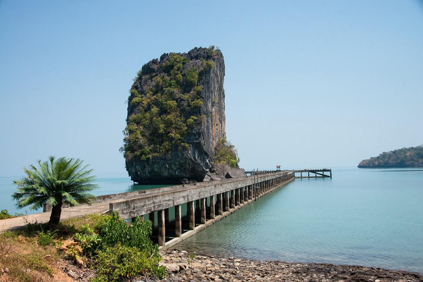 Tarutao Trilobite Site, Satun Geopark Fossil Hunting GuideTrilobites, Brachiopods
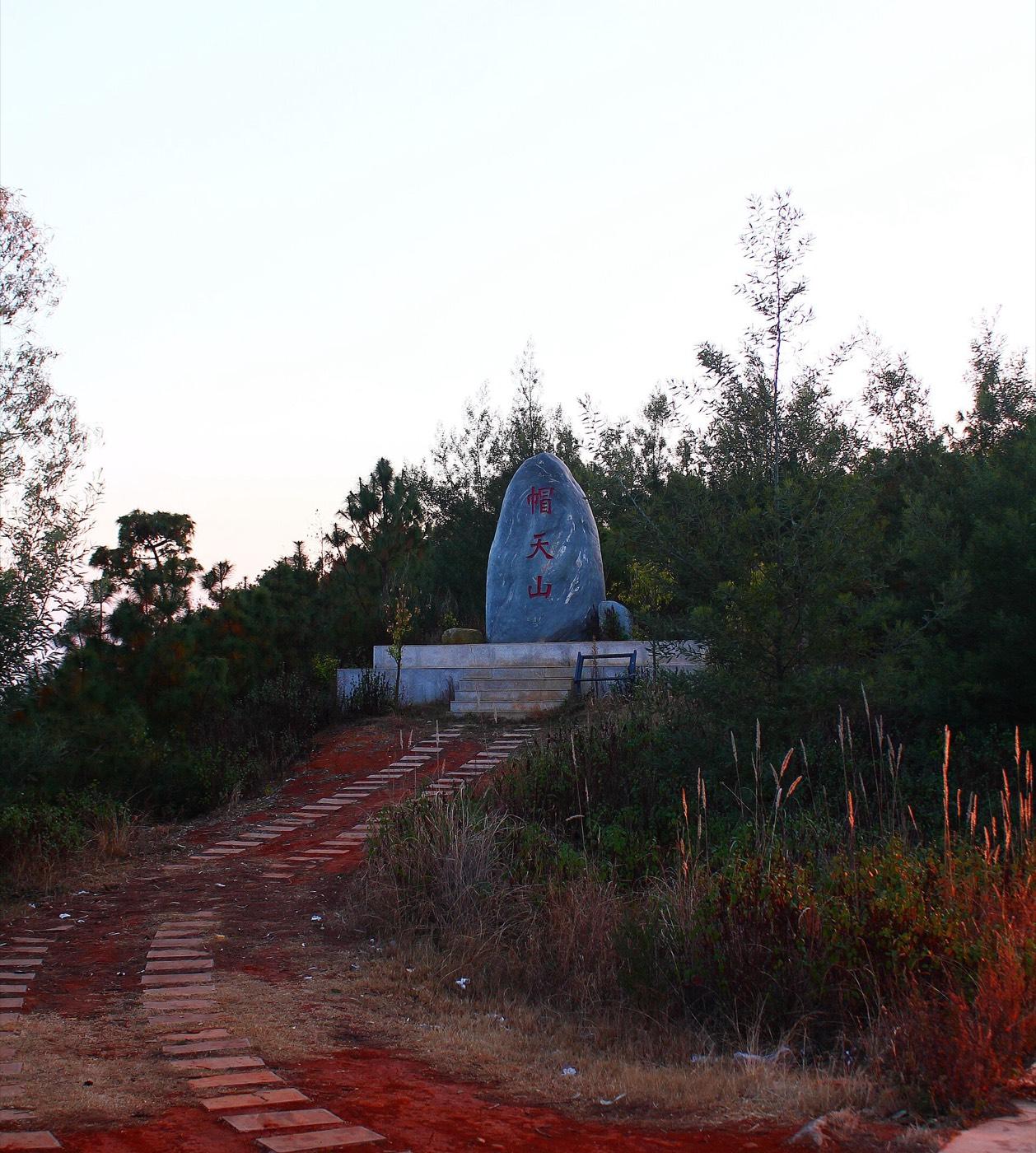 Chengjiang Fossil Site, Maotianshan Fossil Hunting GuideTrilobites, Arthropods
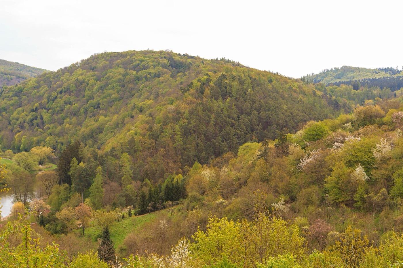 Skryje Trilobite Locality Fossil Hunting GuideTrilobites, Brachiopods
 Cambrian Paradoxides Site North of Alnif Fossil Hunting GuideParadoxides, Cambropallas telesto