Shell Creek Fossil Hunting Guide
Image: Damian Gadal (CC BY 2.0)
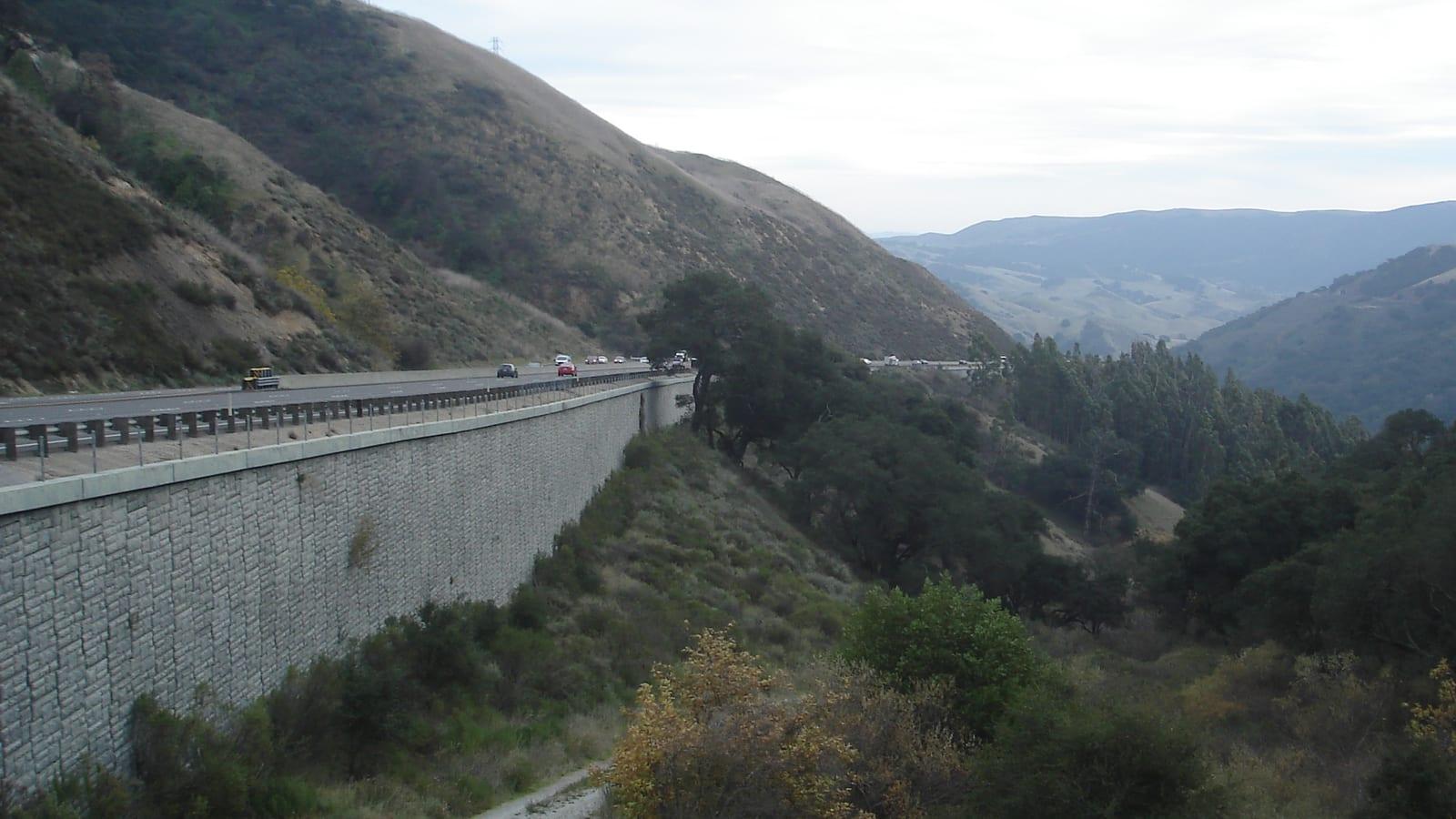
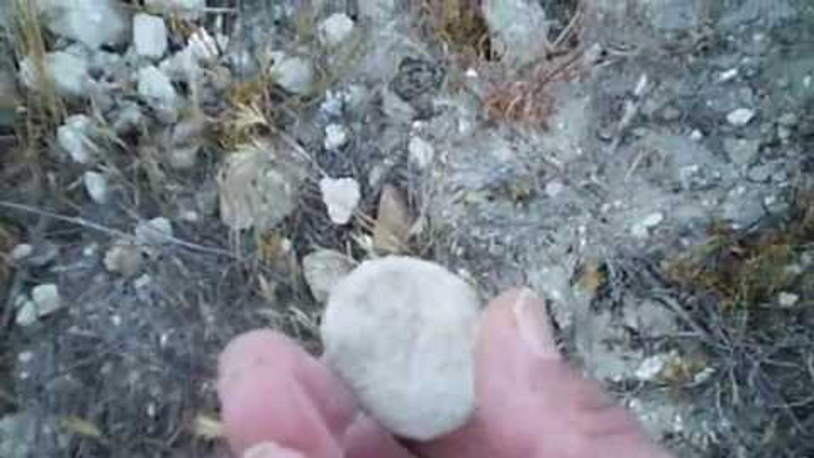
Roadside cuts along Shell Creek Road in the northern La Panza Range expose the late Miocene Santa Margarita Formation, with mollusk-rich sandstone beds containing clams, oysters, scallops, and the sand-dollar-like echinoid Astrodapsis.
By Edward Chen · Updated 1 August 2026
Introduction
Shell Creek Road runs through the northern La Panza Range in eastern San Luis Obispo County, and road cuts along its route expose massive, mollusk-rich sandstone of the Santa Margarita Formation. The exposures were documented in detail by the U.S. Geological Survey during a 1978 field conference on the marine Neogene of California, which mapped fossil localities along Shell Creek and the nearby Indian Creek drainage.
Location and Directions
Shell Creek Road is a paved San Luis Obispo County road that runs about 10 miles between State Route 41 near Shandon in the north and State Route 58 in the south, passing through open cattle range. The fossil-bearing road cuts described here are near the southern end of the road, close to the junction with Route 58 at a location known as Wilson Corner, in the northern La Panza Range.
The USGS field guide places the most productive exposure on the west side of Shell Creek Road, in a natural amphitheater roughly in the center of section 23, T. 28 S., R. 15 E. This is roughly 25 miles east of the city of San Luis Obispo. Surrounding land is working ranchland (the report references the historic Highland Ranch and Cammatta Ranch), so exposures should be viewed and photographed from the public road right-of-way rather than approached across fenced pasture.
What Fossils You Will Find
The upper part of the Santa Margarita Formation along Shell Creek Road is a series of massive, coarse-grained sandstone beds. USGS geologists recorded the following fossils directly from these road cuts:
- Clams (Protothaca staleyi). Abundant as molds and casts in the sandstone near the top of the formation.
- Oysters (Crassostrea). Form dense shell accumulations, called biostromes, at the base of the upper part of the formation.
- Scallops (Lyropecten estrellanus). Found alongside the oyster biostromes in the coarse basal sandstone.
- Sand dollars (Astrodapsis tumidus). A flattened, disc-shaped echinoid that occurs in locally dense accumulations in the sandstone above the shell beds.
- Gastropods (Bulla cantuaensis, Astraea biangulata). Common as molds and casts in the white sandstone at the very top of the formation.
These fossils belong to the "Margaritan" California mollusk stage, a late Miocene assemblage distinct from the older "Temblor" stage mollusks that occur in the Monterey Formation exposed a few kilometers away along Indian Creek and State Route 58.
Geologic History
The Santa Margarita Formation was deposited during the late Miocene, after a long marine cycle that began with nonmarine Oligocene sediments and progressed through the marine sandstones of the Vaqueros Formation and the shales of the Monterey Formation. By the time the Santa Margarita sands were laid down, the sea along this part of the California coast had shallowed considerably. The basal biostromes of oysters and scallops record a nearshore, high-energy shoreline environment, and the overlying sandstone with abundant sand dollars indicates a shallow, sandy sea floor. The formation is unconformably overlain by nonmarine gravels of the Pliocene and Pleistocene Paso Robles Formation, marking the final withdrawal of the sea from this area.
Collecting Rules and Regulations
Shell Creek Road is a public county road, and the fossil-bearing outcrops are visible from the roadside. The land on either side of the road in this area is working cattle ranch. Viewing and photographing fossils in the road cuts from the public right-of-way does not require permission, but leaving the road to search the surrounding hillsides crosses onto private property and requires the landowner's consent.
No official collecting program operates at this location. Anyone considering collecting rather than viewing should confirm current land ownership and get permission before leaving the road, since ranch boundaries in this area can be hard to identify without a map.
Safety
Shell Creek Road is narrow, has no shoulder in places, and carries open-range cattle that can be on the roadway. Watch for livestock and slow-moving farm vehicles. There is no shade at the road cuts, and summer temperatures in this part of San Luis Obispo County regularly exceed 35°C (95°F). Rattlesnakes are present in the surrounding grassland. Pull well off the traveled roadway before stopping to view an outcrop.
Sources
- Addicott, W.O., Poore, R.Z., Barron, J.A., Gower, H.D., and McDougall, K. "Neogene Biostratigraphy of the Indian Creek-Shell Creek Area, Northern La Panza Range, California." In Neogene Biostratigraphy of Selected Areas in the California Coast Ranges, U.S. Geological Survey Open-File Report 78-446, 1978.
- USGS National Geologic Map Database, Geolex: Santa Margarita Formation