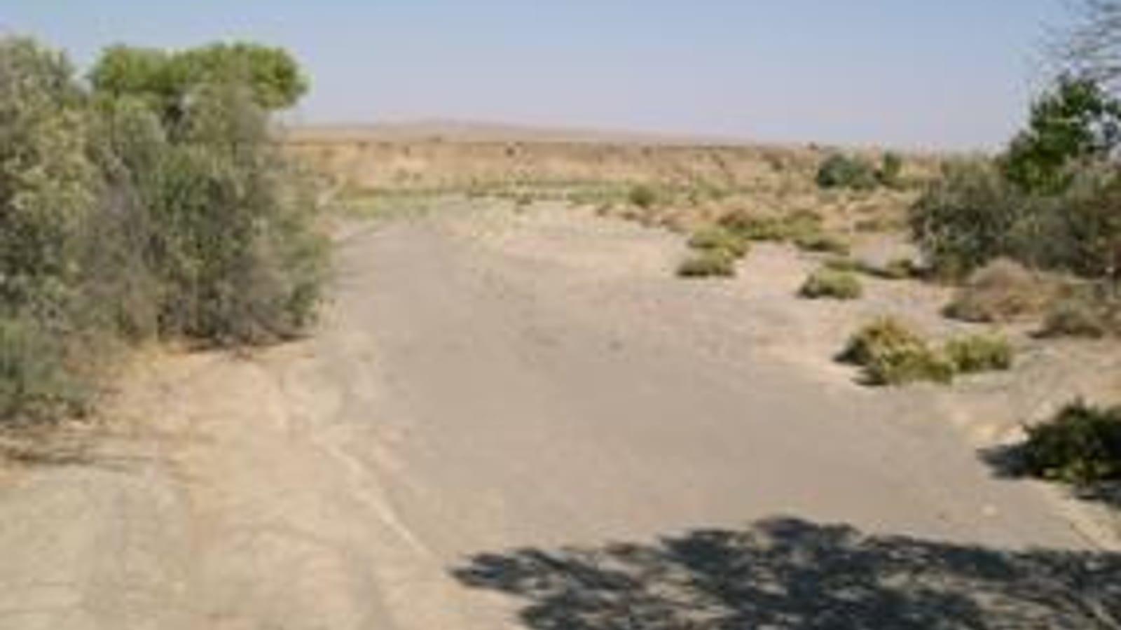
Jacalitos Creek Fossil Hunting Guide
Jacalitos Creek south of Coalinga in Fresno County cuts through the Pliocene Jacalitos Formation, a marine unit that yielded dozens of mollusk species to early California paleontology. Mostly private ranchland, so it is treated as a viewing and reference site.
By Edward Chen · Updated 21 July 2026
Introduction
Jacalitos Creek drains the Jacalitos Hills south of Coalinga in western Fresno County, and it holds a place in the early history of California paleontology. The creek and its surrounding badlands expose the Pliocene Jacalitos Formation, a shallow-marine deposit that gives the unit its name, and its shelly fauna was described in detail more than a century ago.
In 1916 Jorgen O. Nomland published a study of the fauna from the lower Pliocene at Jacalitos Creek and Waltham Canyon, recording dozens of mollusk species from these beds. That work remains the reference for what the formation contains. Much of the land here is private ranch and oil-field property, so this guide treats Jacalitos Creek as a place to understand and, where legally accessible, to view the fossils rather than an open dig.
Location and Directions
The Jacalitos Hills lie south of Coalinga in western Fresno County, near 36.147°N, 120.264°W, in the dry foothills on the west side of the San Joaquin Valley. Jacalitos Creek cuts through the hills and exposes the fossil beds in its banks and the surrounding badlands.
Coalinga is the nearest town for fuel, food, and supplies. Much of the surrounding land is private ranch and active oil-field property, so access is limited and permission is required to enter private parcels. Confirm land status before leaving public roads.
What Fossils You'll Find
The Jacalitos Formation preserves a shallow-marine mollusk fauna. Nomland's 1916 survey recorded three species of echinoderms, two barnacles (Cirripedia), and a large gastropod and bivalve fauna, with 29 gastropod species alone. Gastropods, the marine snails, are the most diverse group, and the type material included forms such as Trophon magister and Turritella nova. Bivalves, including Mytilus and Tivela, occur with them, along with echinoids and barnacles.
The fossils weather from the tan marine siltstone and sandstone of the formation. Where the creek and badland slopes cut fresh faces, shells concentrate in the loose material at the base as the softer rock breaks down.
Geologic History
The Jacalitos Formation records a shallow arm of the sea that occupied the western San Joaquin basin during the early Pliocene, roughly 5 to 4 million years ago. Sand and silt shed from the rising Coast Ranges settled on the seafloor among the shells of the animals living there, building the fossil-bearing beds.
The same tectonic squeezing that later folded these rocks into the Jacalitos Hills, and that drives the oil accumulations of the Coalinga field nearby, lifted the old seafloor above sea level. Erosion by Jacalitos Creek now exposes it.
Collecting Rules and Regulations
Land ownership is the controlling factor here. The Jacalitos Hills are largely private ranch and oil-field land, and collecting on private property requires the owner's permission. There is no established public collecting program at Jacalitos Creek.
Treat the site as viewing and reference unless you have confirmed legal access. Do not enter posted or fenced land, do not disturb oil-field infrastructure, and if you can access an exposure legally, collect only loose material and leave the banks intact.
Identifying What You See
The Jacalitos fauna is dominated by marine snails and clams preserved in tan siltstone, and Nomland's 1916 monograph is still the best key to it. Gastropods here range from small high-spired forms like Turritella to heavier whelk-like shells such as Trophon. Many were named as new species from these beds, which is part of what makes the locality historically important. If you can legally examine an exposure, a hand lens and a notebook are more useful than a hammer, since recording where a shell sits in the section matters more than the shell itself. Photographs with a scale, plus the coordinates, let a museum or a university collection make use of anything unusual you find without it leaving the ground.
Safety
This is hot, dry foothill country with active oil-field operations, so plan for heat, carry plenty of water, and avoid the summer midday sun. Watch for rattlesnakes in warm weather and for unstable badland slopes that can shed loose rock. Keep clear of oil-field equipment and traffic on the ranch and field roads. Tell someone your route, since the area is remote and cell coverage is unreliable.
Sources
https://searchworks.stanford.edu/view/77920 https://en.wikipedia.org/wiki/Jacalitos_Hills https://www.mindat.org/paleo_loc.php?id=31419
Nearby sites
 Marine Fossils near Coalinga Fossil Hunting GuideSand Dollars, Bivalves
 Shell Creek Fossil Hunting GuideClams (Protothaca staleyi), Oysters (Crassostrea)
 Oyster Fossils at Santa Margarita Ranch, San Luis Obispo CountyOysters (Crassostrea titan), Bivalves
 Moonstone Beach, Cambria Fossil Hunting GuideBivalves, Sand Dollars