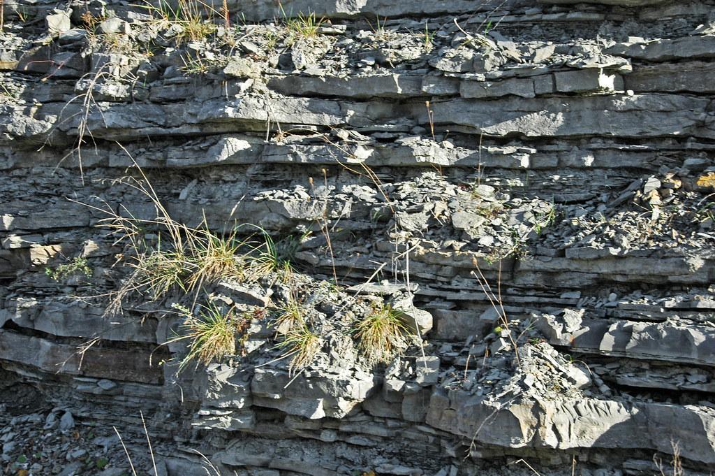
Maysville Ordovician Roadcut Fossil Hunting Guide
Image: James St. John (CC BY 2.0)
The Maysville roadcut and associated AA Highway exposures in northeastern Kentucky cut through a complete Upper Ordovician section, the Kope, Fairview, Bellevue, Corryville, Mt. Auburn, and Bull Fork Formations of the classic Cincinnatian Series. Brachiopods, trilobites, bryozoans, and cephalopods are abundant. Collecting is permitted at roadside exposures with the usual public-right-of-way and safety caveats.
By Edward Chen · Updated 27 July 2026
Introduction
Maysville is a small Ohio River town in Mason County, northeastern Kentucky, on the geological structure known as the Cincinnati Arch. The arch is a broad uplift that has exposed Upper Ordovician rocks (the classic Cincinnatian Series) at the surface across a wide region centred on Cincinnati, Ohio, and extending south into Kentucky. Maysville lends its name to the Maysvillian Stage of the Cincinnatian and to several units of the local stratigraphy, including the Maysville Member of the Bellevue and the Maysville Formation/Group usage in older literature. A series of road cuts on US-68 and on the AA Highway (KY-9) just south and west of the town exposes a near-complete Upper Ordovician section through the Kope, Fairview, Bellevue, Corryville, Mt. Auburn, and Bull Fork Formations. The cuts are world-famous in the geological literature and have been visited continuously by amateur and professional collectors since the AA Highway construction in the 1980s freshened the exposures.
This guide treats the Maysville area as a regional collecting destination with multiple distinct outcrops, rather than as a single site. Roadside collecting on public right-of-way is generally permitted with the usual safety caveats, but quarry exposures and outcrops on private land require permission.
Location and Directions
The reference coordinates above (38.6075°N, 83.7677°W) place a visitor near the AA Highway "Corryville Formation" exposure documented in modern stratigraphic guides. From Maysville on the Ohio River, US-68 heads south away from the river and immediately climbs into a series of road cuts through the Cincinnatian succession. The AA Highway (KY-9), the four-lane east-west highway, has its own series of cuts running east toward Vanceburg and west toward Augusta. Standard amateur trip itineraries combine three or four cuts in a day, working from the lowest (oldest) Kope exposure up-section to the youngest Bull Fork exposures.
After heavy rain the talus at the base of each cut is freshest and most productive, which is also the safest place to work. See the safety section below before stopping at any of these exposures.
What Fossils You'll Find
The Maysville cuts expose the Cincinnatian Series, the standard reference Upper Ordovician succession of eastern North America, roughly 455 to 443 million years old. The whole succession was deposited in a shallow tropical sea over what was then a low-lying portion of the Laurentian craton, positioned about 23 degrees south of the Late Ordovician equator. The fauna is the textbook Late Ordovician shallow-marine fauna and is unusually well preserved.
The Kope Formation, the lowest unit at the cuts, is interbedded grey-blue shale and limestone, with the limestones forming distinctive thin ledges in the otherwise weak shale. Kope fossils are dominated by trilobites, Flexicalymene, the famous and frequently-enrolled Isotelus, Cryptolithus with its perforated fringe, and the eyeless Triarthrus, together with brachiopods (Sowerbyella, Onniella, Zygospira), bryozoans, crinoid columnals, and the occasional nautiloid.
The Fairview, Bellevue, Corryville, and Mt. Auburn Formations (lower to middle Maysvillian) are progressively more limestone-rich up-section. They are famous for the giant strophomenid brachiopod Rafinesquina and the planispiral gastropod Cyclonema. The Bellevue and Corryville also produce abundant Platystrophia ponderosa, the iconic costellate brachiopod of the Cincinnatian. Trilobites are present but less abundant than in the Kope. Flexicalymene retrorsa is the common form.
The Bull Fork Formation (upper Maysvillian to Richmondian) caps the local section and is largely limestone. It produces dense pavement-like accumulations of brachiopods, especially Hebertella, Plaesiomys, and Lepidocyclus, together with horn corals (Grewingkia), bryozoans, and complete crinoid stems. Trilobites become less common but still occur.
"The Maysville roadcut has attracted fossil collectors ranging from professionals at universities to amateurs in the area. The Kope Formation is the easiest to access at the Maysville roadcut and can be climbed readily with proper hiking equipment." Wikipedia, Maysville roadcut
 Photo: Wilson44691, CC0, via Wikimedia Commons

Geologic History
In the Late Ordovician, the Laurentian palaeocontinent (the future North America) straddled the equator and was largely flooded by shallow epeiric seas. The Taconic Orogeny, the first of the great Appalachian mountain-building events, was raising highlands to the east in what is now New England and Quebec, and shedding sediment westward across the craton. The Cincinnatian Series records that western, far-field portion of the foreland basin, a low-energy, mid-shelf to inner-shelf environment with abundant filter-feeding invertebrates and well-oxygenated bottom waters.
The succession is unusual for the period because it preserves an essentially complete and largely intact Late Ordovician shallow-marine fauna across roughly 12 million years of section, with relatively little structural deformation and minimal burial-history overprint. That accessibility is why the Cincinnatian became the world reference standard for Late Ordovician paleontology in the 19th century, with Maysville one of the principal type areas.
The Late Ordovician mass extinction, the second-largest of the five great Phanerozoic extinctions, occurred at the very top of the section, just above the youngest Maysville exposures. The exquisite preservation of the late Cincinnatian fauna in the Bull Fork and equivalent units is part of what allowed paleontologists to characterise that extinction event in detail.
How the Maysville cuts became fossil destinations
US-68 and KY-9 were progressively widened and improved through the 1980s, with fresh roadcuts opening up much of the Cincinnatian section. The Kentucky Geological Survey, the Cincinnati Museum Center, and university paleontology departments at Cincinnati, Ohio State, Kentucky, and Wooster have run field trips to these cuts for decades. The Kentucky Paleontological Society and amateur paleontology clubs in the tri-state region continue to visit regularly.
Collecting Rules & Regulations
Is Fossil Collecting Allowed?
Generally yes at roadside cuts on public right-of-way, with the usual safety and access caveats. Outcrops on private property require landowner permission.
Key Points:
- Collect from the talus at the base of the cut rather than climbing the unstable face.
- Hand tools only, small hammer and chisel.
- Some adjacent exposures are on private land or in quarries. Ask before entering.
Safety
These are roadcuts on fast highways, and traffic is the hazard that matters.
The AA Highway (KY-9) is a 65-mph divided highway, and US-68 carries steady traffic on a two-lane alignment with limited shoulder. Pull off completely, park on level ground where a car behind you can see you from a distance, and get out on the side away from the lane. Wear a high-visibility vest. Keep children back from the road edge at all times, and do not let anyone cross the AA Highway on foot.
The cut faces are the second hazard. The Kope shale weathers into a steep, unstable slope and sheds material continuously. Collect from the talus at the base rather than climbing the face. The talus is also where the freshest material is, particularly after heavy rain, so this costs you nothing.
Hammer work throws sharp limestone and shale chips. Wear eye protection and keep some distance between people working the same pile.
The cuts drain onto the shoulder and the talus is slick when wet, so wear boots with a firm sole. Copperheads use the rock piles at the base of the cuts in warm weather. Look before you move a slab or put a hand into a gap.
Some exposures near the highway cuts are on private ground or belong to working quarries. Being on the wrong side of a fence in Kentucky is a legal problem as well as a safety one.
Sources
Nearby sites
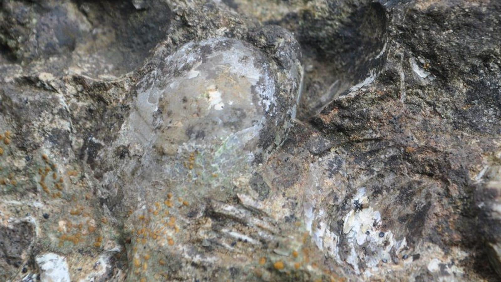 East Fork State Park Fossil Hunting GuideTrilobites, Brachiopods
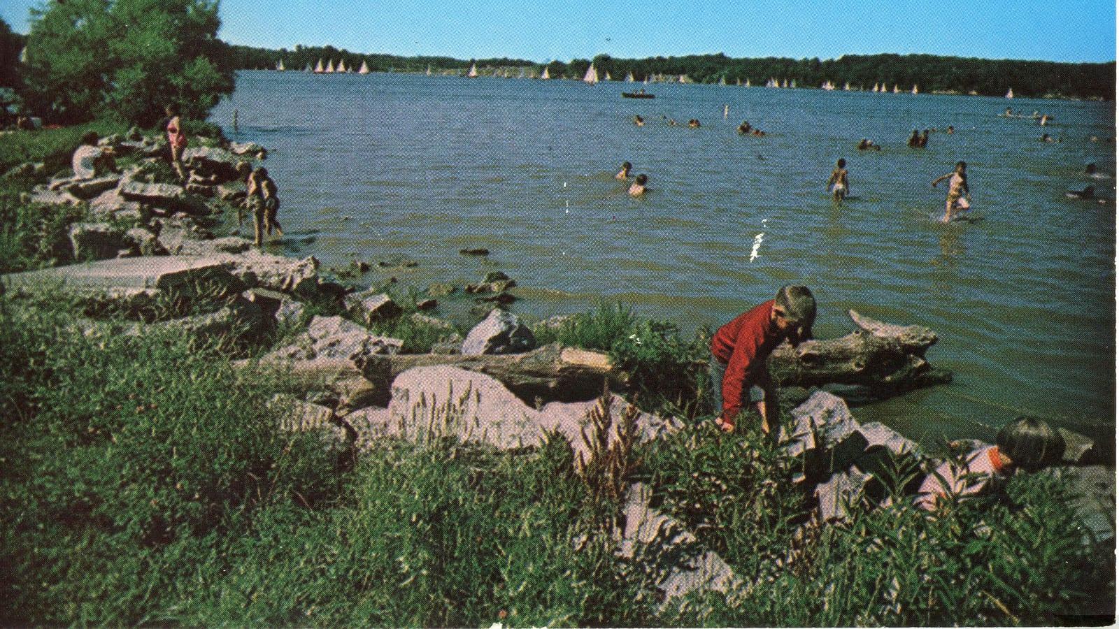 Cowan Lake State Park Fossil Hunting GuideBrachiopods, Bryozoans
 Big Bone Lick State Historic Site Fossil Hunting GuideAmerican mastodon (Mammut americanum), Columbian mammoth (Mammuthus columbi)
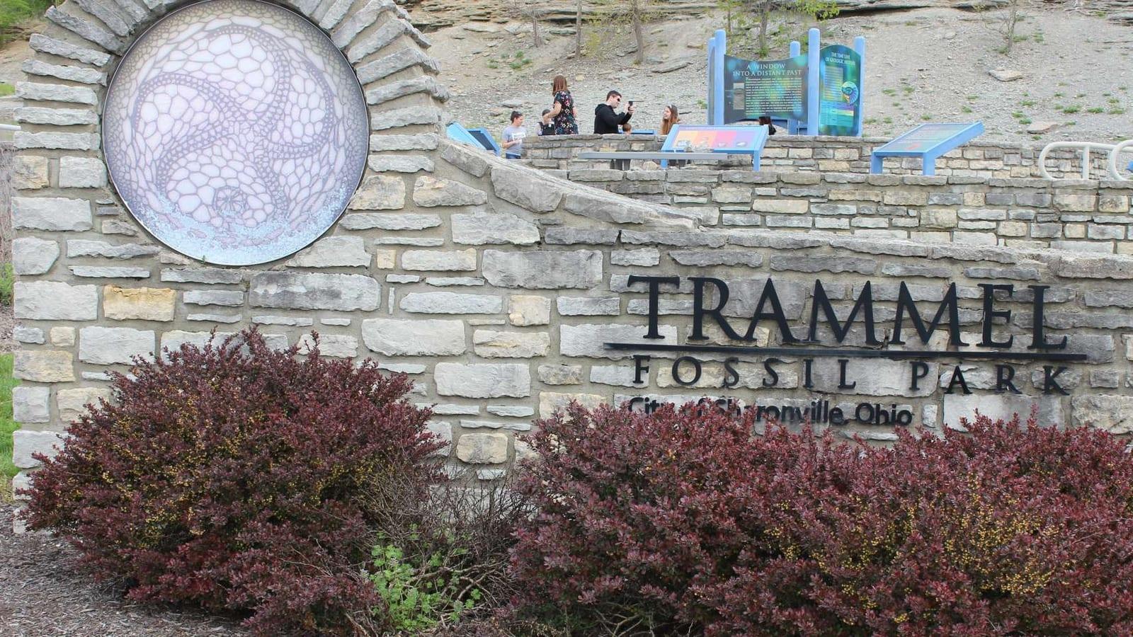 Trammel Fossil Park Fossil Hunting GuideTrilobites, Brachiopods