Rincon Point Fossil Hunting Guide
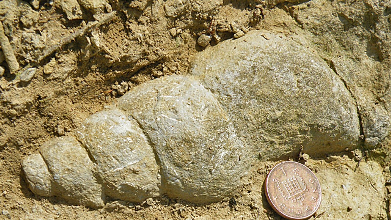
Image: Anne Burgess (CC BY-SA 2.0)
Road cuts and hillside exposures near Rincon Point, on the Santa Barbara and Ventura county line, expose the Pleistocene Santa Barbara Formation, a shallow marine unit that yields fossil clams and snails from a sea of roughly one million years ago.
By Edward Chen · Updated 1 August 2026
Introduction
Rincon Point sits on the coast at the Santa Barbara and Ventura county line, where road cuts and low hills near the Highway 150 interchange expose the Pleistocene Santa Barbara Formation. This shallow-marine sandstone and siltstone holds fossil clams and snails from a cool, nearshore sea of roughly one million years ago.
The point itself is best known for surfing, but the fossil interest is in the cut banks just inland of the freeway, where the shelly beds are exposed. Because the exposures sit on and beside a busy highway and adjacent private and state land, this guide treats Rincon Point as a place to look and photograph rather than to dig.
Location and Directions
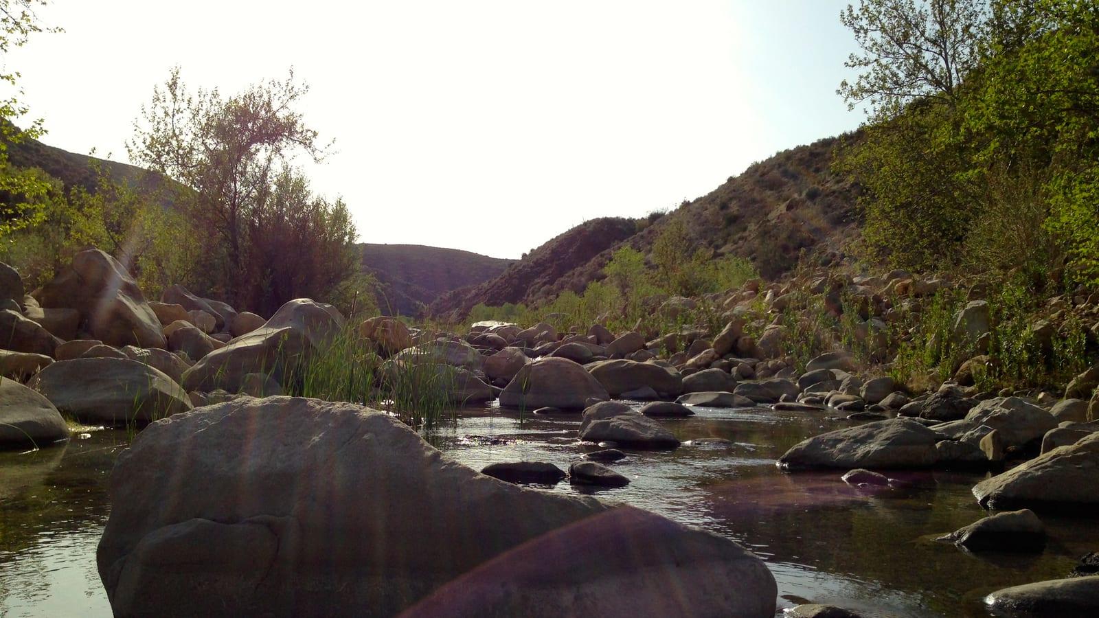
Rincon Point lies along U.S. Highway 101 about 12 miles east of Santa Barbara and 3 miles west of Carpinteria, near 34.37°N, 119.48°W, where State Route 150 toward Lake Casitas meets the freeway. The fossil-bearing cut banks are near that interchange and on the slope above it.
Parking and stopping along the freeway and its ramps are restricted, so use legal parking and stay well clear of traffic. Carpinteria to the west has fuel, food, and beach parking.
 Photo: Clyde Charles Brown, CC BY-SA 4.0, via Wikimedia Commons
What Fossils You'll Find
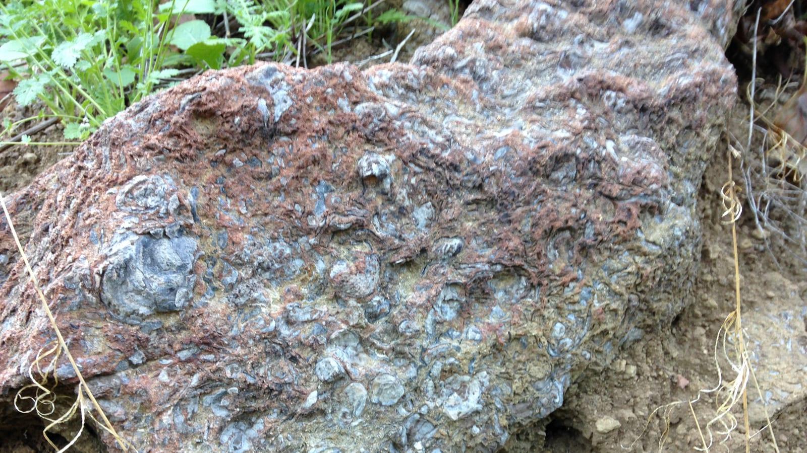
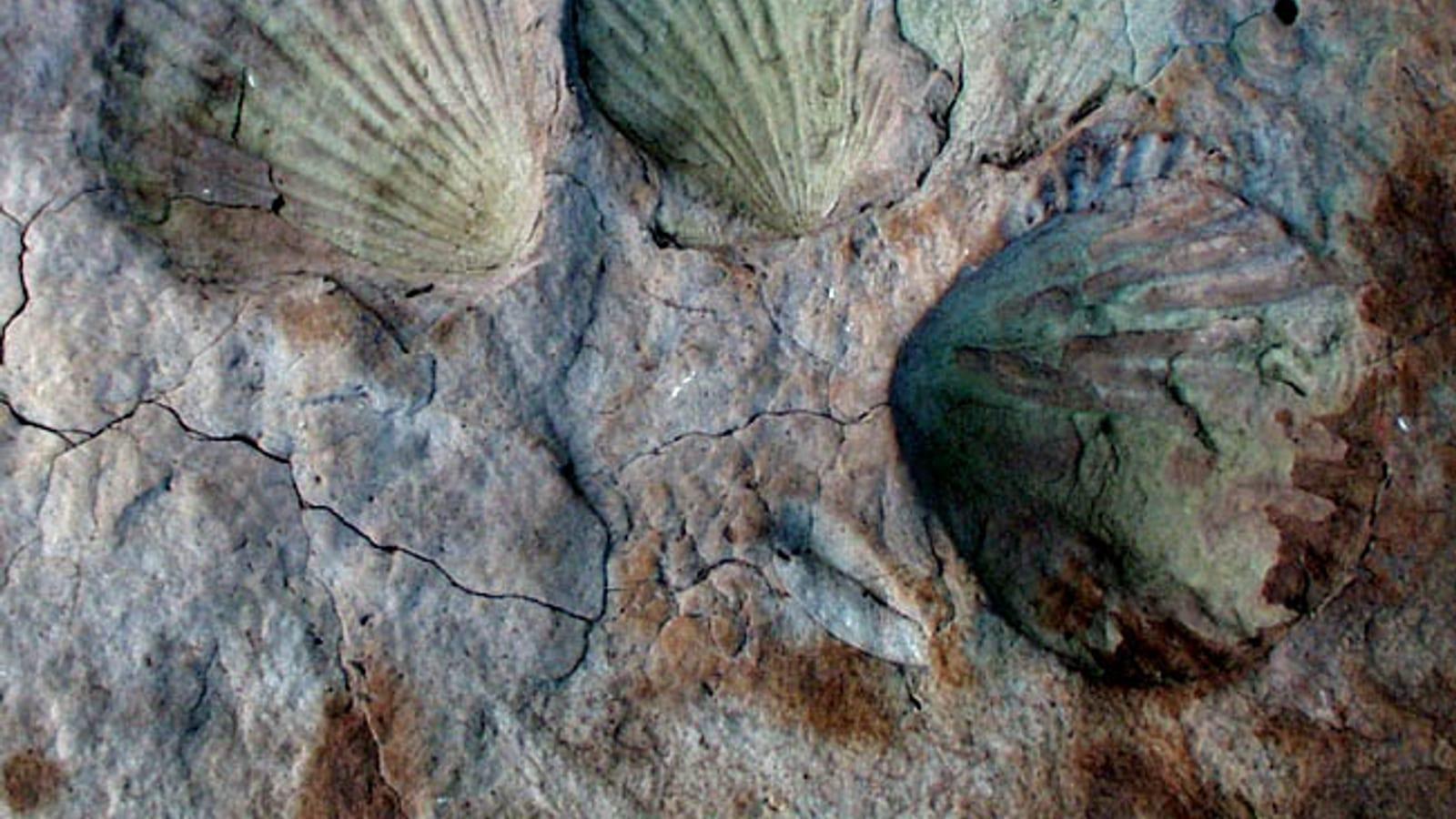
The Santa Barbara Formation here is a shelly marine deposit. Bivalves, including clams and scallops, are the most common finds, often preserved as whole or broken shells and imprints in the tan rock. Gastropods, the coiled marine snails, occur alongside them.
Look on freshly eroded faces and in the loose material at the base of the cut banks, where weathering frees the harder shells. The fossils are pale against the matrix and stand out best when the rock is damp or lit at a low angle.
Geologic History
The Santa Barbara Formation accumulated on a shallow marine shelf during the Pleistocene, as sand and silt shed from the rising coastal mountains settled among the shells of the animals living on the seafloor. It records a cool, productive nearshore sea not unlike the Santa Barbara Channel today.
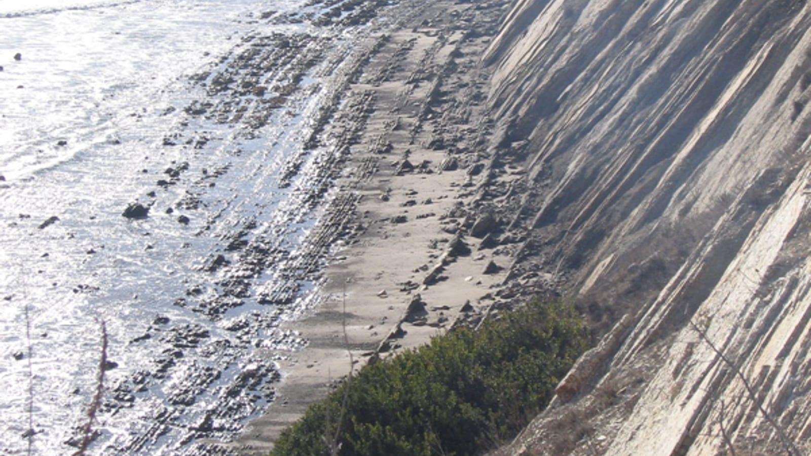
The whole coast here is squeezed between active faults, and the same compression that folds the offshore rocks has lifted these once-underwater beds above sea level. Road cuts and coastal erosion now slice through them and expose the fossils.
Collecting Rules and Regulations
The exposures near Rincon Point sit on a mix of highway right-of-way, private property, and state park land, and none of these is an open collecting site. Collecting from a freeway cut is a legal gray area and unsafe next to traffic, and California state parks prohibit collecting entirely.
For those reasons, treat Rincon Point as a viewing and photography location. Do not dig into the cut banks, respect posted property, and if you find anything unusual, photograph it and note the spot rather than removing it.
Safety
The main hazard here is traffic. The fossil exposures are close to a busy freeway and its ramps, so park legally, stay off the roadway and shoulders, and keep children well back from moving vehicles. The cut banks are steep and can shed loose rock, so do not climb or undercut them. Watch for poison oak, ticks, and rattlesnakes on the brushy slopes, and bring water and sun protection.
If You Want to Collect Instead
Rincon Point rewards a look, but it is not a place to fill a bag. Within an hour's drive, several sites on this map allow more than viewing. The Ojai area trails expose Eocene marine rock in Los Padres National Forest, Gaviota Beach up the coast offers beach exposures west of Santa Barbara, and Jalama Beach beyond Point Conception is a longer but productive trip. Checking those guides first saves the frustration of standing beside a freeway cut you cannot legally work.
Sources
https://ngmdb.usgs.gov/Geolex/Units/SantaBarbara_14394.html https://ucmp.berkeley.edu/quaternary/pleistocene.html https://www.parks.ca.gov/?page_id=597