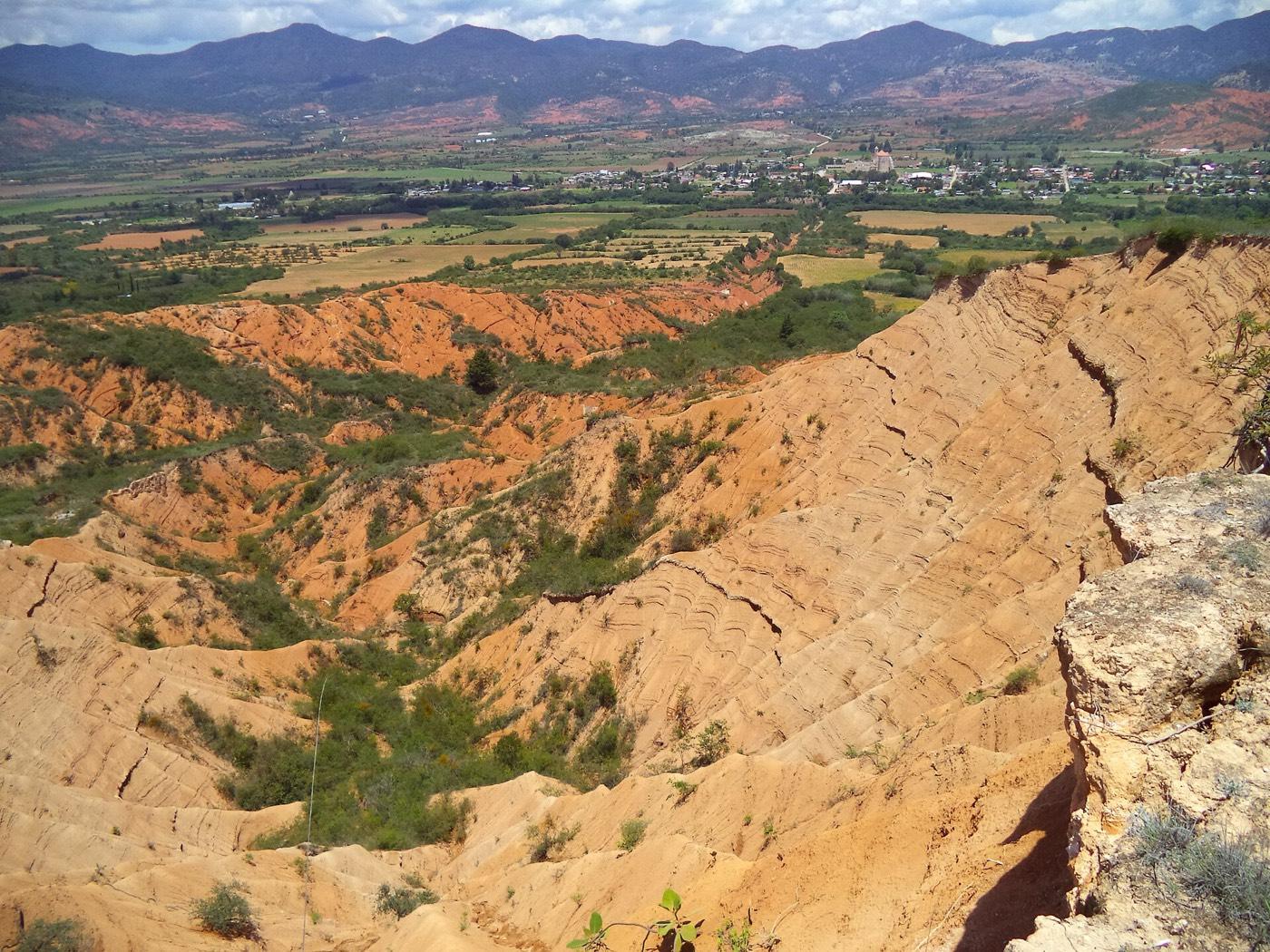
Sendero Yutoto, Mixteca Alta Fossil Hunting Guide
Image: Norma93 (CC BY-SA 4.0)
A geotrail in Oaxaca's Mixteca Alta geopark with 22 monitored fossil points in Early Cretaceous marine rocks. Community guides lead the walk and UNAM publishes a field guide to the invertebrates preserved along it.
By Edward Chen · Published 12 September 2026
Introduction
The Mixteca Alta is a landscape of eroded hills in western Oaxaca, and the geopark that covers it is as much about soil loss as about rock. Centuries of agriculture stripped the hillsides, and the resulting badlands are one of the most studied cases of long-term erosion anywhere.
That erosion is also why the fossils are visible. The Sendero Yutoto, sometimes called the Geosendero Yutoto, runs through the oldest rocks in the geopark. Researchers have established 22 monitoring points along it where they record the abundance, size and condition of the fossils exposed.
Two species anchor the palaeontology. Peruviella dolium, an extinct marine gastropod, is described as the most representative species of the trail. Coalcomana ramosa, a rudist, was called one of the most relevant fossils in Mexico by the palaeontologist Gloria Alencáster.
The trail is a community asset rather than a ticketed attraction. Local guides lead it, and UNAM has published a guide to its fossil invertebrates so that visitors can identify what they find.
Location and Directions
The geopark covers a group of municipalities in the Mixteca Alta of western Oaxaca, in southern Mexico.
Geopark GPS: 17.5181°N, 97.3422°W. This is an area coordinate for the geopark rather than a point on the trail, and confirm the trailhead locally.
Oaxaca city is the usual arrival point, with the geopark inland to the north-west along the highway toward Nochixtlán.
Arrange a guide locally. The geopark works through community guides from the Mixtec villages, and the trail is walked with them rather than independently. Fees and opening hours are not published centrally, which is normal for a community-run geopark.
The geopark has several other geotrails covering different themes, so ask what else runs when you book.
What Fossils You'll Find
Nothing is collectable. The geosites are protected and the monitoring points exist precisely to track the condition of the fossils in place.
The assemblage is marine. Gastropods are the most conspicuous, with Peruviella dolium the characteristic species. Rudists occur, including Coalcomana ramosa, and rudists are worth knowing about because these bivalves built reefs and took over the role corals play today.
Bivalves, cephalopods and echinoderms make up the rest.
UNAM's published guide to the fossil invertebrates of the Yutoto geotrail runs to more than thirty pages. It is the reference to look for if you want to identify what the guides show you.
 Photo: ArbyBB, CC BY-SA 4.0, via Wikimedia Commons

Geologic History
The rocks along the trail are Early Cretaceous, roughly 140 to 110 million years ago, and they are the oldest lithological units in the geopark.
The region was submerged at the time. Shallow warm seas covered what is now highland Oaxaca, and carbonate sediment accumulated with a rich shelly fauna living in and on it.
The Mixteca terrane has a complicated tectonic history, having been assembled from separate crustal blocks and then uplifted. The marine rocks now sit at about 2,150 metres.
The modern badlands are a young overlay on that old story. Erosion since the colonial period has cut deeply into the soft sediments, and that is what exposes the fossil-bearing beds along the trail.
Rudists are worth a second look when the guides point them out. They were bivalves that abandoned the usual mirror-image shell for one cone-shaped valve fixed to the seabed and a smaller lid on top. They built reefs through the Cretaceous and died out at its end.
Collecting Rules and Regulations
Collecting is prohibited. The geosites are protected within a UNESCO Global Geopark, and Mexican law treats palaeontological material as national heritage.
The 22 monitoring points mean the fossils on this trail are counted. Removal gets noticed.
Follow the guides and keep to the trail. The badland slopes are fragile and off-trail walking accelerates the erosion the geopark exists to study.
The geopark's other theme is human. The Mixteca Alta has been farmed for thousands of years. The terraces, lama-bordo check dams and abandoned fields on the hillsides are part of what the geotrails interpret. The erosion that exposes the fossils is itself a consequence of that history.
Safety
The Mixteca Alta is high country, generally above 2,000 metres, so allow for altitude if arriving from the coast.
Badland slopes are loose, steep and slippery, and gullies can be deep.
Sun exposure is strong and shade is limited. Carry water.
The rainy season runs roughly June to September and makes the clay surfaces treacherous.
Facilities in the villages are limited. Bring what you need for the day.
Monitoring points are an unusual thing to find on a public trail and they are worth understanding. Researchers return to fixed positions and record what is still there. That turns the trail into a long-term study of how quickly exposed fossils weather and disappear. Visitors walk through an experiment.
Sources
https://unamglobal.unam.mx/global_revista/geoparque-mixteca-alta-fosiles-oaxaca/ https://geoparquemixtecaalta.org/en/geositios-y-geosenderos/ https://publicaciones.geografia.unam.mx/index.php/ig/catalog/book/245 https://ciencia.unam.mx/contenido/galeria/167/-a-donde-ir-de-vacacion-geoparque-mixteca-alta-un-paisaje-peculiar
Nearby sites
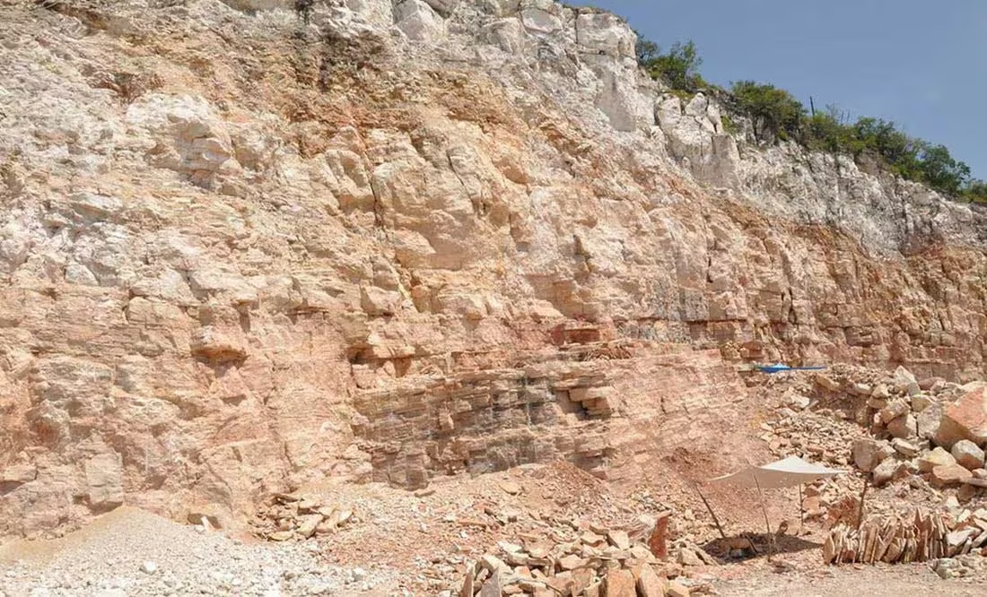 Cantera Tlayúa Fossil Quarry GuideTeleost fish, Ammonites
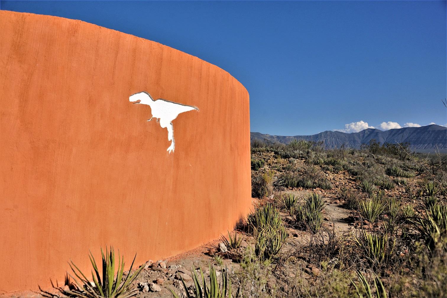 Rincón Colorado Paleontological Zone Fossil Hunting GuideVelafrons coahuilensis (hadrosaur, type), Coahuilaceratops magnacuerna
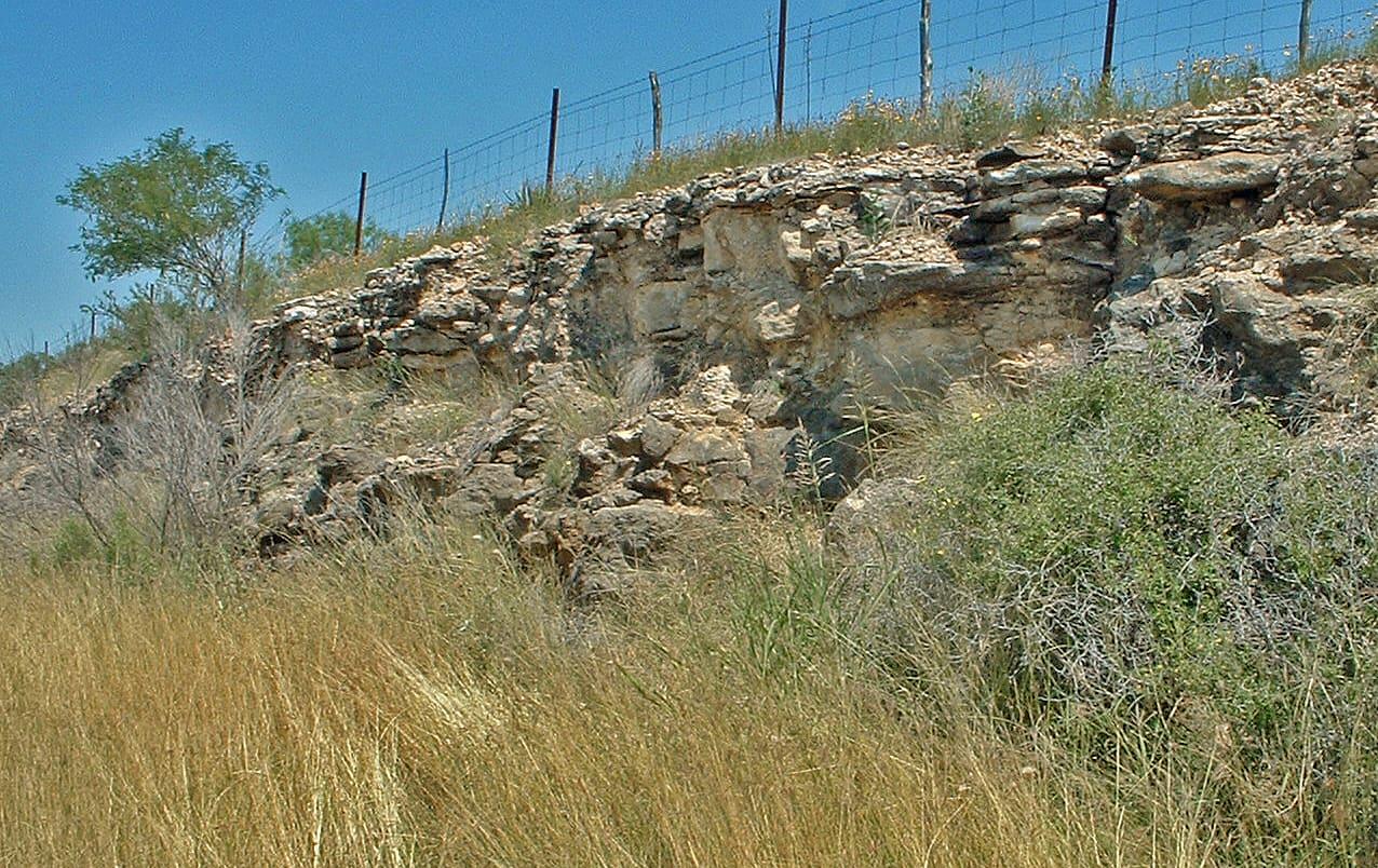 Austin Chalk Roadcuts Fossil Hunting GuideAmmonites, Inoceramus clams
 Dinosaur Valley State Park: Dinosaur TrackwaysDinosaur Tracks, Trace Fossils