Anticosti Island Fossil Hunting Guide
Image: Thosetimes (CC BY-SA 4.0)
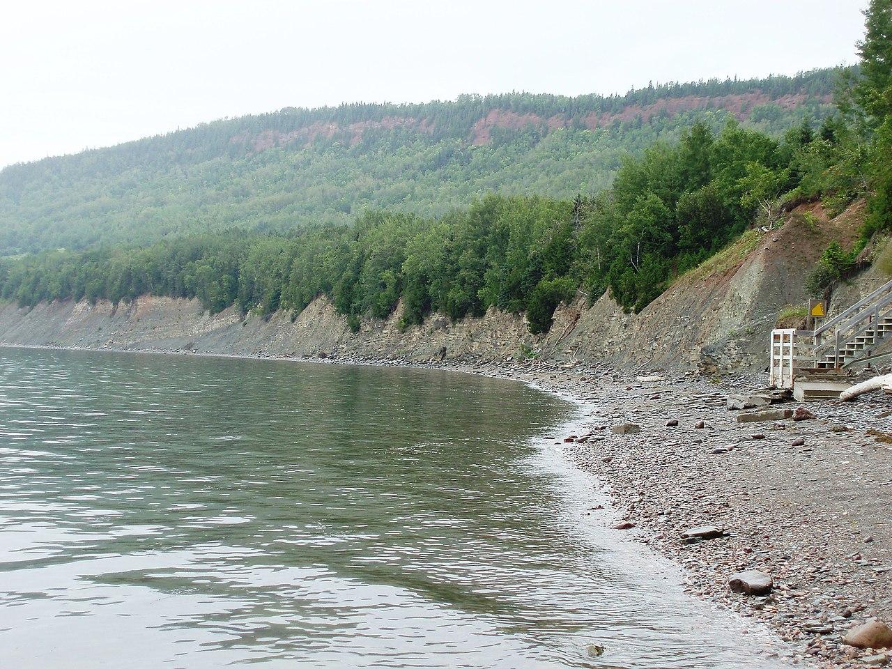
Anticosti Island in the Gulf of Saint Lawrence, Quebec, holds the most complete record of the end-Ordovician mass extinction, 447 to 437 million years ago. UNESCO listed it in 2023. Access is by plane or boat only, and all fossils stay where they lie, so this is a viewing-only site.
By Edward Chen · Published 1 October 2026
Introduction
Anticosti Island holds the most complete fossil record of the end-Ordovician mass extinction, 447 to 437 million years ago. UNESCO listed it as a World Heritage Site in 2023. The IUCN counts about 1,440 described fossil taxa. Visitors may look at fossils, but they may not collect them.
The island lies in the Gulf of Saint Lawrence, in Quebec. It is remote and has limited transport. That fact shapes every trip. You reach the island by plane or by boat, and the main fossil sites lie far from Port-Menier.
Parc national d'Anticosti, run by Sépaq, protects the Vauréal Falls canyon and other sectors. The rock records the extinction and the recovery that followed. This guide covers the logistics first, because they decide whether a visit works.
Location and Directions
Anticosti is the largest island in eastern Canada's Gulf of Saint Lawrence. It is about 222 km long and 56 km wide at most. It had 177 residents in 2021. Most live in Port-Menier at the western tip. The tourist office is at 7 chemin des Forestiers in Port-Menier.
Only two routes lead to the island. Air Liaison flies to Port-Menier airport from Havre-Saint-Pierre, Sept-Îles and Baie-Comeau, on set days of the week. A seasonal ferry, the Bella Desgagnés of Relais Nordik, calls at Port-Menier. Published frequency differs between sources, so confirm both schedules directly. Charter flights also exist.
Services are thin. Fuel and groceries are available in Port-Menier only. Rental trucks are available there. The island has one small clinic and no hospital. In some areas the nearest help is more than 160 km away.
The park sectors lie far east of Port-Menier. Vauréal Falls are about 120 km from the village in a straight line. The road distance is not documented in the sources used here. Book transport and lodging before you travel, and plan every fuel stop.
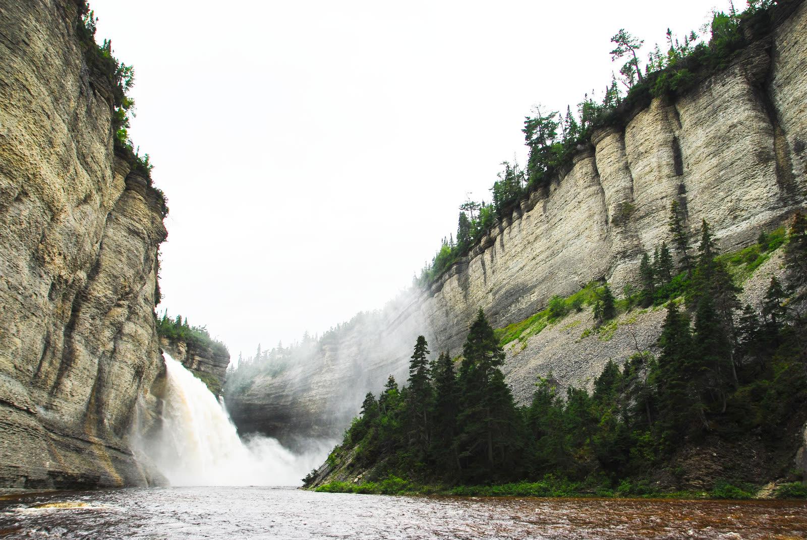
Sépaq lists the park season as 20 June to 29 August in 2025. Dates for later years are not documented here. Call Sépaq at 1-800-463-0863 for the current season and fees. A trail leads to the falls. The river drops 76 m and then runs through a gorge 90 m deep. Other fossil areas named by writers include Chicotte-sur-Mer, Les Caps and Baie de la Tour.
What Fossils You'll Find
The fossils are marine animals and algae. Many shells and corals are no bigger than a fingernail. The rock holds corals, brachiopods, gastropods, sponges and graptolites. The IUCN reports about 1,440 described taxa.
The Paleobiology Database records named species by formation. In the Vauréal Formation, it lists the corals Bighornia patella and Streptelasma affine. It also lists the snail Pterotheca anticostiana and the sponge Archaeoscyphia boltoni.
The Ellis Bay Formation holds the coral Paliphyllum ellisense and the green alga Cyclocrinites halli. In 2023, researchers reported new finds of the brachiopod genera Hirnantia and Hindella in the lower Ellis Bay Formation. Researchers use Hirnantia as a marker for the Hirnantian stage.
The basal Silurian Becscie Formation holds the graptolite Normalograptus normalis and the brachiopod Virgiana barrandei. Younger Jupiter Formation beds hold Pentamerus palaformis and Eospirifer radiatus. Vauréal Canyon shows fossils in the shale layers that the river exposes.
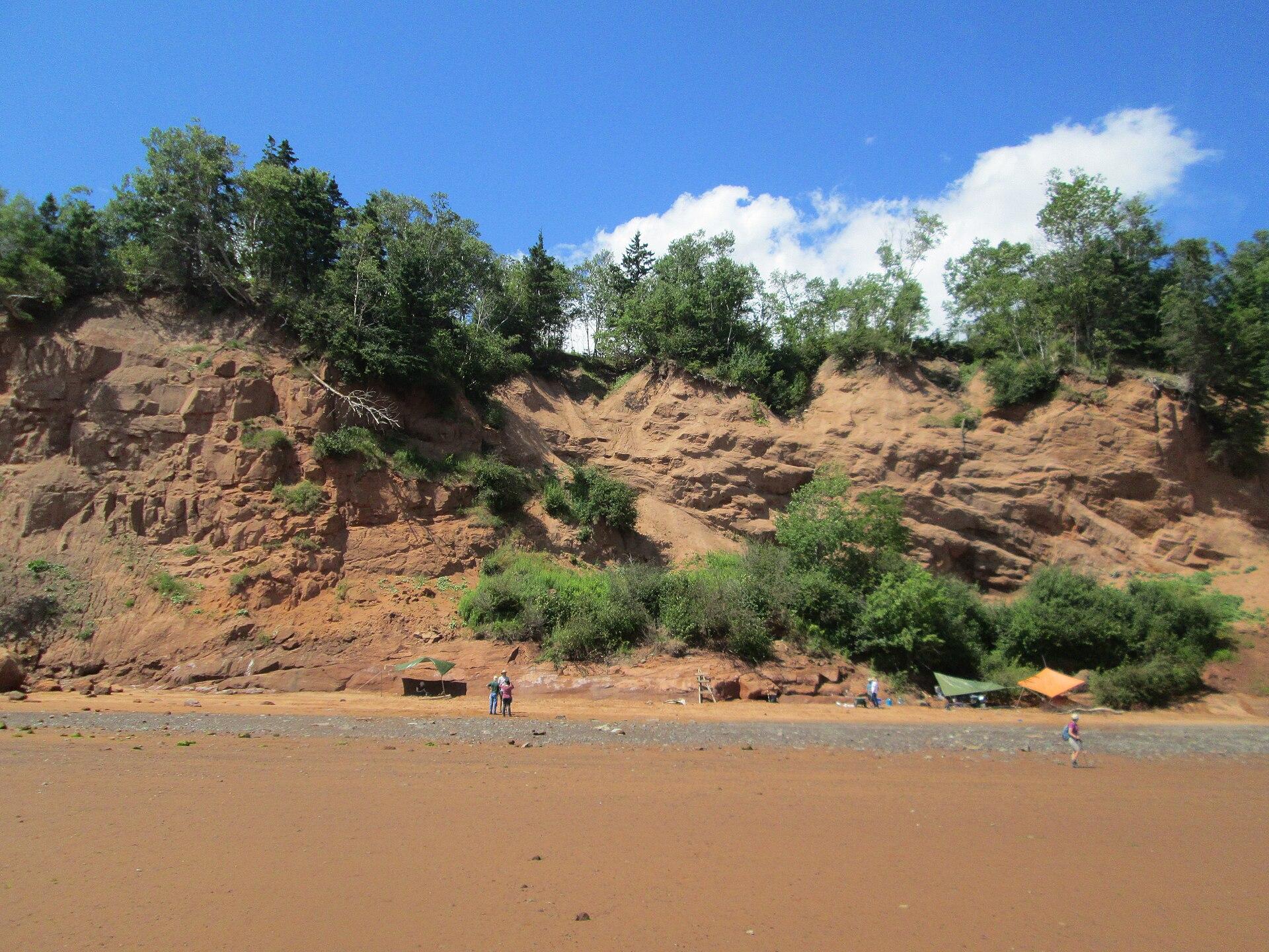
You see these fossils in cliff walls and river beds. Canadian Geographic describes rock along Les Caps that looks built from fossils. Do not remove anything.
Geologic History
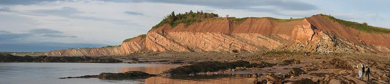
The property covers 10 million years of marine history, from the Upper Ordovician to the Lower Silurian. Seas covered the area. Reefs and carbonate sediment built limestone and shale. Parks Canada rates the island's stratigraphic record the best in the world by thickness.
The first mass extinction of animal life on a global scale came at the end of the Ordovician. An estimated 85 percent of species died. The rock records the event. Recovery took about 4 million years, and reef building resumed.
A 2023 study by Zimmt and colleagues dated the Ellis Bay and lowermost Becscie formations to the Hirnantian, a span of about 2 million years. A bentonite in the middle of the Ellis Bay Formation gave a uranium-lead age of 443.61 plus or minus 0.52 million years. The formations record six depositional sequences. Earlier work had doubted that a typical Hirnantia fauna occurred here.
The layers now crop out along about 550 km of coast and in river canyons, up to 900 m thick. The coast erodes about 8 cm a year, according to the IUCN. That erosion keeps exposing new rock and also destroys old rock.
Collecting Rules and Regulations
Do not collect fossils on Anticosti. The site is viewing-only. The IUCN names increased tourism as a risk to fossils, and the remote location currently keeps that risk low.
A Quebec regulation for the Anticosti biodiversity reserve states that, without authorization from the Minister, no one may remove, extract, excavate or damage a fossil. Confirm the current rule with Sépaq before you travel. Do not hammer rock or dig.
Take photographs and notes. Leave every fossil in place. Report unusual finds to the park staff.
Co-management involves the Quebec environment ministry, the Société du patrimoine mondial Anticosti and Sépaq. Innu communities of Ekuanitshit and Nutashkuan sit on the board of the Société.
Safety
Plan for self-reliance. No hospital exists on the island, and Port-Menier has one small clinic. Carry a first aid kit, water, food and a spare tire. Tell someone your route and your return time.
Deer and moose cause road collisions. About 37,000 white-tailed deer and about 1,000 moose live on the island. Drive slowly, especially at dusk.
Canyon and river settings need care. Stay on trails and viewing platforms. The sources describe Chicotte-sur-Mer as wilder than Vauréal, with no viewing platforms. Coastal erosion averages 8 cm a year, so treat cliff edges with care.
Offshore waters hold reefs, and the island has a record of more than 400 shipwrecks. Do not enter the sea to reach a fossil.
Sources
https://parks.canada.ca/culture/spm-whs/sites-canada/anticosti https://www.naturalworldheritagesites.org/sites/anticosti https://worldheritageoutlook.iucn.org/node/2586 https://doi.org/10.3176/earth.2023.28 https://kirj.ee/wp-content/plugins/kirj/pub/earth-1-2023-170_20230614081321.pdf https://paleobiodb.org/data1.2/occs/list.json?lngmin=-64.6&lngmax=-61.5&latmin=49.0&latmax=50.0&show=class,strat&limit=3000 https://en.wikipedia.org/wiki/Anticosti_Island https://en.wikipedia.org/wiki/Anticosti_National_Park https://en.wikivoyage.org/wiki/Anticosti https://www.tourismecote-nord.com/en/anticosti-national-park/national-parks/ https://canadiangeographic.ca/articles/land-before-time-exploring-the-many-layers-of-anticosti-island/