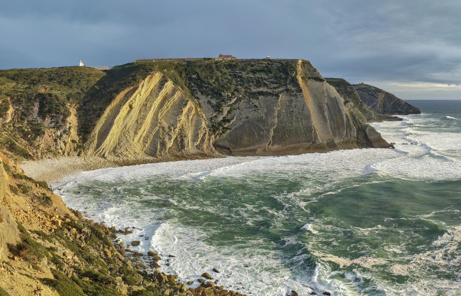
Cabo Espichel Dinosaur Tracksites Fossil Hunting Guide
Image: The Cosmonaut (CC BY-SA 2.5 ca)
Cabo Espichel in Sesimbra, Portugal, has two Natural Monuments with dinosaur trackways. Pedra da Mua holds Late Jurassic sauropod herd tracks and Lagosteiros holds Early Cretaceous tracks. Entry is free, the tracks stay in the rock, and collecting is not allowed.
By Edward Chen · Published 1 October 2026
 Photo: The Cosmonaut, CC BY-SA 4.0, via Wikimedia Commons

Introduction
Cabo Espichel, on the Sesimbra coast south of Lisbon, has two dinosaur tracksites that Portugal protects as Natural Monuments. Pedra da Mua holds Late Jurassic sauropod trackways. Lagosteiros holds Early Cretaceous trackways. Decree 20/97 of 7 May 1997 classified both sites. They now lie inside the Arrábida Natural Park, and the Institute for Nature Conservation and Forests manages them.
Entry is free and you need no booking. The tracks stay in the rock. You look at them and photograph them. You do not collect.
Local fishermen knew the tracks for centuries. They told the story of a giant mule that carried the Virgin Mary up the cliff. That legend led to the Memory Chapel, built about 1410, and to the 18th century Sanctuary on the cape. A University of Lisbon team identified the tracks as dinosaur tracks in 1971.
Location and Directions
The sites lie on the cliffs of Cabo Espichel, about 30 minutes by car from Sesimbra. A dedicated footprints car park sits at 38.42042 degrees north and 9.20815 degrees west. A larger free car park is near the Sanctuary at 38.4196 degrees north and 9.2133 degrees west. A single bus route, the 3205 operated by Carris Metropolitana, runs from Sesimbra bus station. It runs infrequently, so check the timetable.
From the Sanctuary car park, the walk around the cliffs to the Lagosteiros footprints is about 1 km. The Lagosteiros tracks are easy to reach but easy to miss. They read as shallow indentations in the rock. The last part of the path crosses eroded ground and weathered cliff.
The Pedra da Mua prints are harder. They lie about 400 m from the Lagosteiros headland viewpoint, on the face of a 70 m sheer cliff. You cannot see them from the cliff top or from the Sanctuary. The viewpoint on the Lagosteiros headland gives the best distant view. Do not try to climb down to see them.
Both monuments have no admission charge. Interpretation on site is a single outdoor panel. The monument's own researchers call that panel insufficient. Read about the tracks before you go.
What Fossils You'll Find
 Photo: Britoca, CC0, via Wikimedia Commons

The fossils here are footprints, not bones. Each trackway records a dinosaur that walked across mud on an ancient shore.
At Pedra da Mua, researchers count 38 sauropod trackways and 2 theropod trackways across seven or eight track levels, depending on the study. The sauropod prints are wide-gauge trackways that match the ichnogenus Brontopodus. Some pes prints show four claw marks. Researchers rate them among the best preserved Brontopodus pes impressions anywhere.
Two sets of parallel trackways show herd behavior. Seven small sauropods, with a hip height of 1.5 to 1.8 m, walked together. Three larger animals, with a hip height of 2.8 to 2.9 m, followed them, and their prints overlap the first set. Researchers call this the first convincing sign of sauropod herd behavior in Europe. One trackway shows a limp, because the left and right steps differ in length.
At Lagosteiros, the main trackway runs for about 50 m. Antunes named it Neosauropus lagosteirensis in 1976 and read it as the track of a four-legged sauropod. Santos and colleagues reinterpreted it in 1992 as the track of a two-legged animal, probably an ornithopod. Only one of 30 sub-impressions shows digit marks. Scattered theropod prints also occur. One theropod trackway gives a speed of 14 km/h.
The rock around Pedra da Mua also holds bivalves, gastropods, ostracods and turtle bones.
Geologic History
 Photo: The Cosmonaut, CC BY-SA 4.0, via Wikimedia Commons

The Pedra da Mua tracks come from the Tithonian, the last stage of the Late Jurassic. Sources give an age of 146 to 142 million years or 150 to 140 million years. The track levels belong to the Espichel Unit, which researchers refer with a query to the Lourinhã Formation. The rock is limestone, marl and sandstone laid down in a shallow sea. The beds dip about 40 degrees to the north.
The Lagosteiros tracks are younger. They date to the Hauterivian, in the Early Cretaceous, about 136 to 130 million years ago. They are the first Early Cretaceous dinosaur trackways found in Portugal. This guide found no published formation name for the Hauterivian track level.
The cliffs expose the boundary between the Jurassic and the Cretaceous as a continuous marine sequence. Few places in Portugal show that boundary.
Collecting Rules and Regulations
You may not collect or remove anything. Both sites are Natural Monuments inside a Natural Park. The researchers who study them say that visitors should see dinosaur tracks in place, in their geological context.
Do not chalk, cast or scratch the rock. Photograph the tracks from the viewpoints.
Portuguese law protects Natural Monuments. This guide found no published penalty for a person who takes material from one, so it cites none.
Safety
Keep well back from the cliff edge. The Pedra da Mua viewpoint sits above a 70 m sheer drop. Do not stray close to the edge. A fall from that height can kill.
Stay off the cliff face. An alternative view of Pedra da Mua needs a hazardous scramble down to the stony beach. Do not attempt it. These cliffs are unstable. The nearby Ribeira do Cavalo tracksite collapsed completely in 1995.
Watch your footing on the final path to Lagosteiros. Eroded ground and weathered cliff edge the route. Wear sturdy shoes.
Cabo Espichel is an open headland. Carry water and sun protection.
Sources
https://run.unl.pt/server/api/core/bitstreams/b5218782-6731-4e6a-95ed-b245ca6cbe91/content https://sesimbra.com/dinos/pistas-de-dinossaurios/pedra-da-mua.html https://sesimbra.com/dinos/pistas-de-dinossaurios/lagosteiros.html https://www.sesimbra.pt/viver/cultura/patrimonio/patrimonio-natural/jazida-de-icnofosseis-da-pedra-da-mua https://sintracascaissesimbra.com/Sesimbra-guides/Cabo-Espichel-Dinosaur-Tracks-Footprints-portugal-sesimbra.html https://www.researchgate.net/publication/260351069 https://en.wikipedia.org/wiki/Lagosteiros_Natural_Monument
Nearby sites
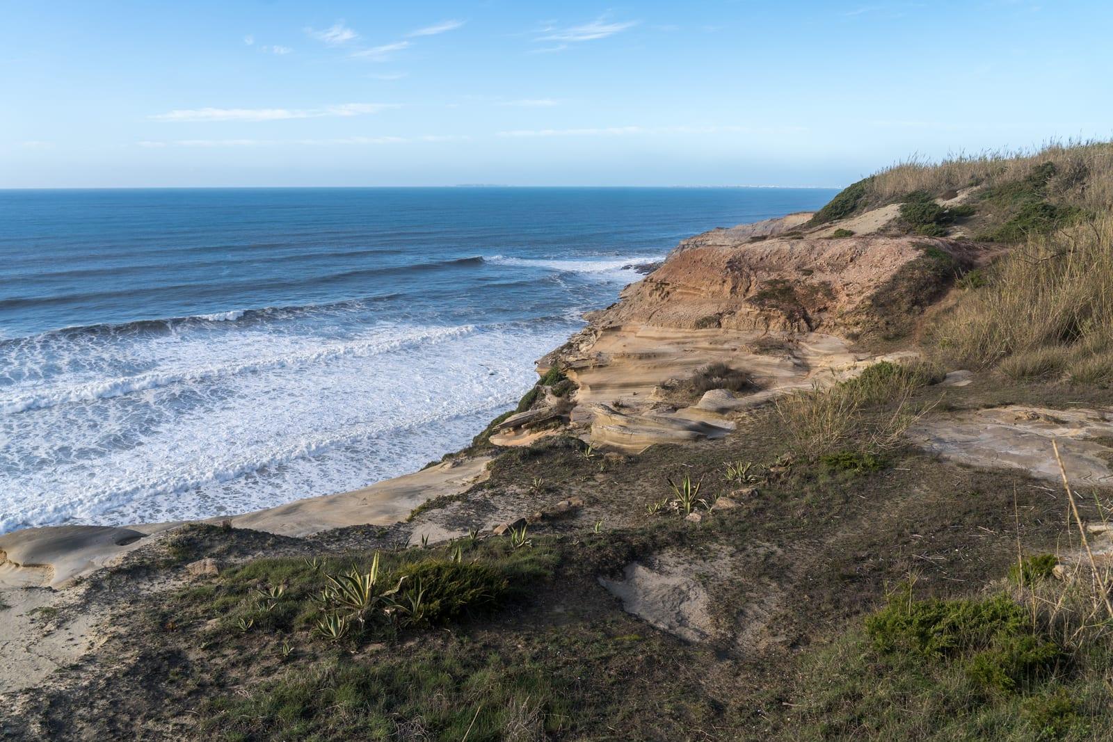 Lourinhã Jurassic Dinosaur Coast Fossil Hunting GuideDinosaur eggs and embryos, Sauropod bone (Lusotitan, Dinheirosaurus)
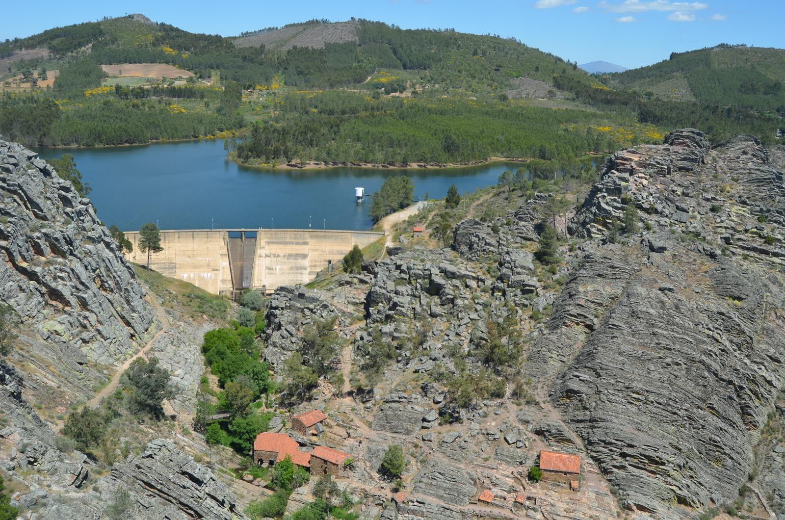 Penha Garcia Ichnological Park Fossil Hunting GuideTrace fossils, Trilobite burrows
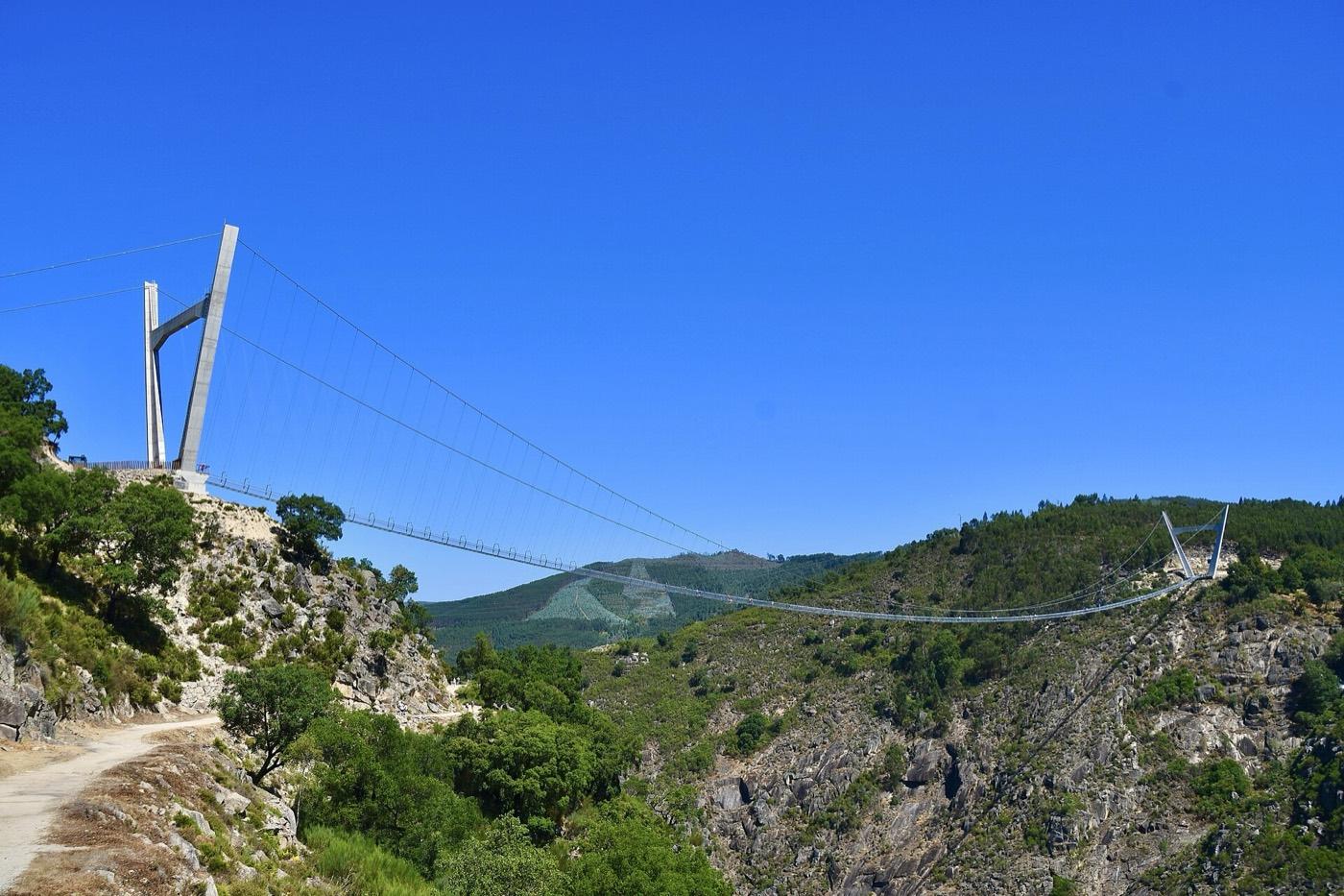 Canelas Quarry and Arouca Geopark Fossil Hunting GuideTrilobites, Brachiopods
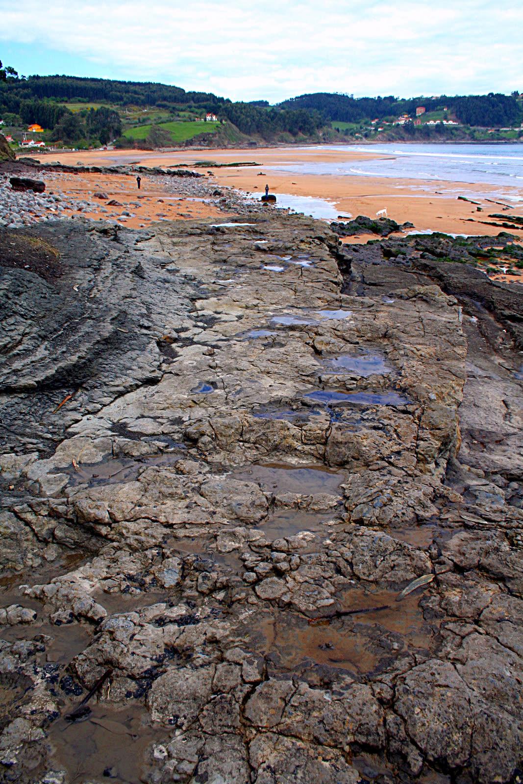 Playa de La Griega Fossil Hunting GuideSauropod footprints, Dinosaur trackways