Yuha Basin Fossil Hunting Guide
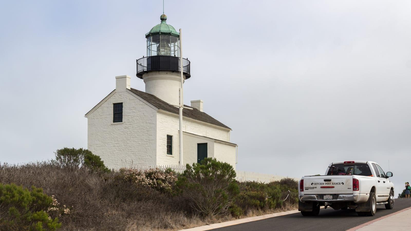
Image: blmcalifornia (Public domain)
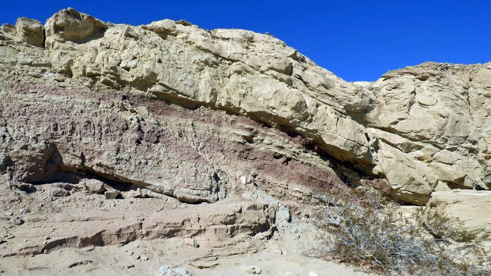
The Yuha Desert west of El Centro exposes the Pliocene Imperial Formation, including thick beds of fossil oysters known locally as shell reefs, along with other marine shells and corals from a warm sea of about 6 to 4 million years ago. The basin is a BLM area with cultural protections.
By Edward Chen · Updated 4 August 2026
Introduction
The Yuha Basin, in the low desert west of El Centro, exposes the Pliocene Imperial Formation, the same marine unit that fills much of the Salton Trough. Its most obvious feature here is the fossil oyster beds, thick masses of shell often called shell reefs, along with other marine shells and corals from a warm, shallow sea of about 6 to 4 million years ago.
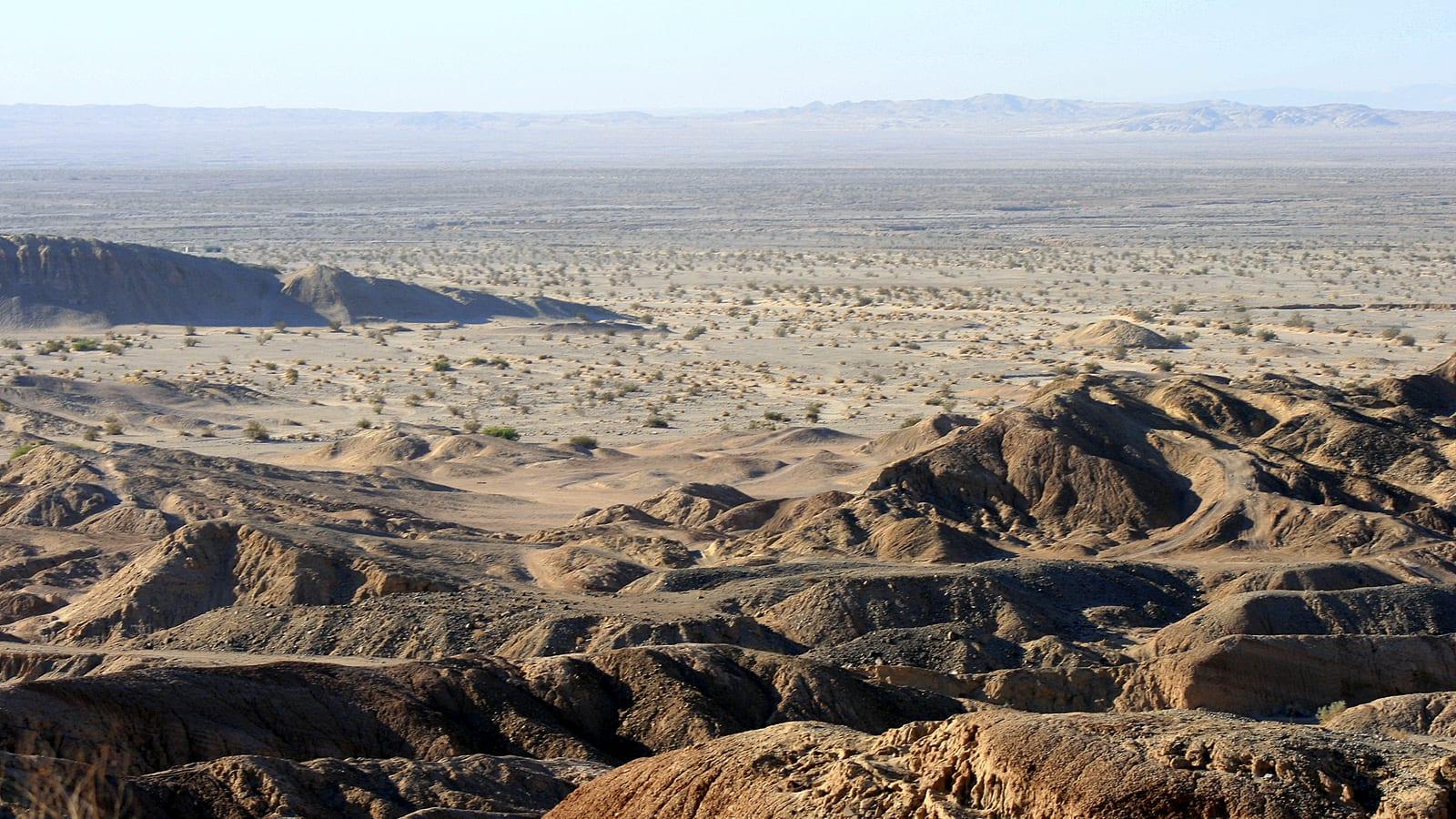
This is the northern arm of the same ancient gulf that reached into the Coyote Mountains near Ocotillo. In the Yuha Desert the beds are spread across low badlands and washes on land managed by the Bureau of Land Management. Much of the area falls inside the Yuha Basin Area of Critical Environmental Concern, a designation the BLM applies to 40,622 acres to protect sensitive natural and cultural resources. Because of that status, the basin is best treated as a place to view and photograph fossils rather than to collect them.
The shell beds sit alongside a documented layer of human history. The De Anza expedition of 1774 crossed this basin on the route between Sonora and the California coast, and the surrounding desert holds the Crucifixion Thorn Natural Area and the Yuha geoglyph. The same rules that protect those cultural features also govern how visitors treat the fossils.
Location and Directions
The Yuha Basin lies west of El Centro, reached from Interstate 8 near the Dunaway Road exit, close to 32.71°N, 115.83°W, about 10 miles west of town. The Dunaway Road area is a staging point for limited off-highway vehicle use, and desert tracks lead from there into the badlands where the shell beds are exposed. The main oyster exposures are a short walk from the informal parking areas along these tracks.
There are no services in the basin. Carry fuel, water, and supplies from El Centro or Ocotillo, and be prepared for soft sand and rough tracks. A high-clearance vehicle helps on the sandier routes. Cell coverage is unreliable, so download maps before you leave paved roads.
 Photo: blmcalifornia, Public domain, via Wikimedia Commons
What Fossils You'll Find
The Imperial Formation here is dominated by shallow-marine invertebrates. A USGS study of the formation by Charles Powell (Scientific Investigations Report 2008-5155) recorded 44 invertebrate taxa from a single marine interval, made up of one coral, 30 bivalves, 10 gastropods, and three echinoids. That mix is a good guide to what turns up across the wider basin.
Bivalves are the standout, especially oysters of the genus Ostrea, which weather out in dense lenses that form the shell reefs the basin is known for. Scallops and other clams occur with them. Corals appear as pale colonial heads, part of a fauna with tropical Caribbean and eastern Pacific affinities that reflects the warm sea of the time. Gastropods, the marine snails, and echinoids including sand dollars of the genus Clypeaster round out the assemblage.
Look along eroded slopes and in the loose material at the base of the badlands, where weathering concentrates the harder shells. The oyster beds are easy to recognize as thick, chalky masses of curved shell, and individual Ostrea valves the size of a hand are common on the surface.
Geologic History
The Imperial Formation records a marine incursion when the proto-Gulf of California reached north into the Salton Trough between roughly 6.3 and 4.3 million years ago. Warm, shallow water supported oyster banks, coral patches, and a varied shelly fauna in what is now dry desert. The fauna's tropical affinities show that this arm of the sea connected south to the open Gulf rather than to the cooler outer Pacific coast.
The Colorado River later built its delta across the trough and cut this inland sea off from the ocean. Continued faulting and erosion in the seismically active basin, which sits close to major strands of the San Andreas system, have since exposed the old seafloor in the low hills of the Yuha Desert. The result is a section of Pliocene marine rock now sitting in one of the hottest, driest corners of California.
Notable Finds and Research
The Imperial Formation is one of the reference sections for the proto-Gulf of California, and its fauna has been studied since the early twentieth century. Powell's 2008 USGS report formally described the Travertine Point assemblage and tied the Yuha and Coyote Mountain exposures into the same faunal province, which is why the basin matters to researchers well beyond its roadside shell beds. The oyster reefs themselves are durable enough to survive at the surface, which is what makes them the most visible fossil feature in the Yuha Desert.
Collecting Rules and Regulations
The Yuha Basin is on Bureau of Land Management land and lies largely within the Yuha Basin Area of Critical Environmental Concern. Rules here are stricter than on ordinary BLM ground. Vertebrate fossils, archaeological materials, and features within the ACEC may not be disturbed at all, and casual collection of even common invertebrates is restricted inside its boundaries.
Because of this, treat the shell beds as a viewing and photography site, and confirm current rules and boundaries with the BLM El Centro Field Office before collecting anything anywhere in the basin. Do not remove material from the ACEC, stay on existing routes to avoid damaging fragile ground, and leave the fossils and any artifacts where they lie.
Safety
This is low desert, and summer heat is life-threatening, so plan visits for the cooler months between November and March, carry far more water than you expect to drink, and avoid the midday sun. There is no shade or water anywhere in the basin. Sandy tracks strand vehicles easily, and flash floods can fill washes during rain. Watch for rattlesnakes and the spines of desert plants, tell someone your route and expected return time, and do not count on a phone signal.
Sources
https://www.sdnhm.org/download_file/view/5186/660/ https://pubs.usgs.gov/of/1993/0562/report.pdf https://pubs.usgs.gov/sir/2008/5155/sir2008-5155.pdf https://www.blm.gov/office/el-centro-field-office
.jpg)