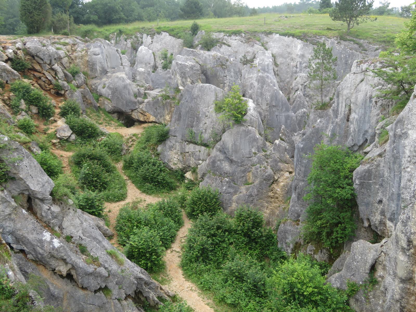
Fondry des Chiens Fossil Hunting Guide
Image: Donarreiskoffer (CC BY-SA 4.0)
The Fondry des Chiens at Nismes, Belgium, is a protected limestone sinkhole about 100 m long and 20 m deep. It cuts a Middle Devonian stromatoporoid reef. You can view the fossils but not collect them.
By Edward Chen · Published 1 October 2026
 Photo: jean melis, CC BY 3.0, via Wikimedia Commons

Introduction
The Fondry des Chiens is a limestone sinkhole at Nismes, in Viroinval commune, Namur Province. It is about 100 m long and up to 20 m deep. The walls cut through roughly 70 m of Middle Devonian reef limestone from the Eifelian to Givetian boundary, about 388 mya.
Massive stromatoporoids make up most of that reef. You can see their sections in the rock faces. Stromatoporoids were sponge-like animals that built layered, rounded colonies on the sea floor.
Heritage rules protect the site. The commune of Viroinval lists it as a natural monument and calls it entirely protected. The authors of one modern study could not sample the rock face for that reason. You may look and take photographs. You may not hammer, dig or remove anything.
Local people call a sinkhole of this kind an abannet or a fondry. People mined iron ore here from the Celtic period to the nineteenth century. The site lies in the Viroin-Hermeton nature park.
Location and Directions
The sinkhole lies at 50.0691°N, 4.5566°E, at the end of Rue Orgeveau in Nismes. Nismes is 5 km northeast of Couvin and 20 km southwest of Givet in France. The site is 750 m south-southeast of the village.
By car, take the N99 to Nismes and turn onto the N939, Rue Saint-Joseph. Then turn right into Rue Orgeveau. Visit Ardenne reports a nearby car park. No source gives the number of spaces or any parking fee.
You can also walk. A marked loop of about 4 km starts at Nismes church and takes about 1.5 hours. Red rectangle waymarks show the route. The Viroinval tourist office sells a walking guide. In 2023 the price was 3 euros.
The site is free and open at all times. The tourist office advises you to check with it before you visit from October to December. Hunters may use the land in those months. An information board stands at the site.
What Fossils You'll Find
Stromatoporoids are the fossils you will see. Cornet recognized four genera here in 1975. These are Stromatopora, Stromatoporella, Actinostroma and Parallelopora. Colonies are massive and measure several decimeters across. Many tilt or stand at right angles to the bedding.
Coen-Aubert studied the colonial rugose corals in 1992. She described a new species here, Neomphyma dalcqae. She also found Fasciphyllum katranicum. Both occur as rare colonies, and a stromatoporoid often overgrows them. As of 1992, nobody had found either species elsewhere in Belgium.
Other fossils sit between the large colonies. The 1992 paper lists favositids, heliolitids and chaetetids. It also lists solitary rugose corals, brachiopods, gastropods and crinoids. Coarse crinoid fragments make up the lower beds.
Green algae such as Paralitanaia occur in thin section. You need a microscope to see them. Préat and his colleagues described them in 2007.
Expect to see weathered sections of colonies in the rock faces, not loose fossils. You cannot collect specimens, so bring a camera and a hand lens. The type specimens of Neomphyma dalcqae are in the collections of the Royal Belgian Institute of Natural Sciences in Brussels.
Geologic History
 Photo: Donarreiskoffer, CC BY-SA 4.0, via Wikimedia Commons

The reef grew in a warm Devonian sea on the southern edge of the Dinant basin. Its age is Eifelian to Givetian. The International Commission on Stratigraphy dates the Givetian from 387.95 to 382.31 mya. Conodonts in the crinoidal limestone at the base date the reef to the base of the Givetian. These are Icriodus obliquimarginatus and Polygnathus hemiansatus.
Belgian geologists place the beds in the Hanonet and Trois-Fontaines formations. The Hanonet Formation is Upper Eifelian. The Trois-Fontaines Formation is Lower Givetian. Préat and his colleagues put the boundary at the base of the reef lens, by convention. This is the boundary on the geological map of Wallonia. Tsien had assigned the reef to the Trois-Fontaines Formation in 1975.
Coen-Aubert measured 70 m of reef limestone. About 46 m of crinoidal limestone lies below it. Préat measured a lens of stromatoporoid and coral framestone 64 m thick. Lagoon algae and mats that sometimes dried out cap it.
The sea became shallower as the reef grew. Préat estimates the water was about 20 m deep at the start. It was close to dry land at the end. A similar reef lens at Wellin in southern Belgium shows the same pattern.
The sinkhole itself is much younger. In the Oligocene, about 30 mya, the sea laid sand over the folded Devonian limestone. Rain water carrying acids from the soil seeped through the sand and dissolved the limestone below. This made a hollow in the buried rock. The Devonian beds stand almost vertical.
Acid water also leached iron from the sand. The iron settled on the limestone as limonite ore. About 2 mya, in the Quaternary, the climate became colder. Erosion then stripped the sand cover, except where the hollows trapped it.
People then mined the sand and the ore. The name "des chiens" comes from the bones of goats, horses and dogs that local herders threw into the hollows.
Collecting Rules and Regulations
Do not hammer, dig or remove rock or fossils. The Fondry des Chiens is a protected natural monument. Any damage is a risk to the site and to you.
Key Points:
- Look at the rock faces and take photographs.
- Do not hammer, chisel or dig.
- Do not take loose rock or fossils.
- Stay on the marked paths.
- French Wikipedia states that climbing and caving are no longer allowed.
No source states a rule on hobby collecting. The Viroinval page says only that the site is entirely protected. Préat and his colleagues did not sample the face in their 2007 study because the site has protection. They took samples from bed heads next to the sinkhole.
Walloon law of 12 July 1973 bans excavation, soundings and the extraction of materials in nature reserves. No source in this guide confirms that the Fondry des Chiens is a legal nature reserve. Treat the site as closed to collecting.
Safety
Warning: Rock surfaces here can be slippery, and no guardrails protect the edge. A fall into the sinkhole can cause serious injury. Stay back from the edge and keep children close.
Wear shoes with a good grip. Wet limestone is slippery. Take extra care after rain.
Hunters may use the land from October to December. Ask the tourist office before you visit in those months. Do not walk off the marked paths in autumn.
The marked loop from Nismes church is about 4 km long. Carry water.
The sources name no other hazard. Check the weather and your route before you start.
Sources
https://biblio.naturalsciences.be/rbins-publications/bulletin-of-the-royal-belgian-institute-of-natural-sciences-earth-sciences/62-1992/irscnb_p4087_005256p_62_bulletin-1.pdf https://preat.ulb.be/Preat_fichiers/Preat%20et%20al_Nismes2007.pdf https://gsb.naturalsciences.be/wp-content/uploads/2024/09/24_Nismes_Le-Fondry-des-Chiens_web.pdf https://www.viroinval.be/fr/loisirs/tourisme/office-du-tourisme/explorez/nature-patrimoine/sites-naturels/fondry-des-chiens https://www.visitardenne.com/en/les-experiences-ardennaises-en/outdoor-experiences/fondry-des-chiens https://showcaves.com/english/be/karst/Fondry.html https://fr.wikipedia.org/wiki/Fondry_des_Chiens https://en.wikipedia.org/wiki/Givetian https://wallex.wallonie.be
Nearby sites
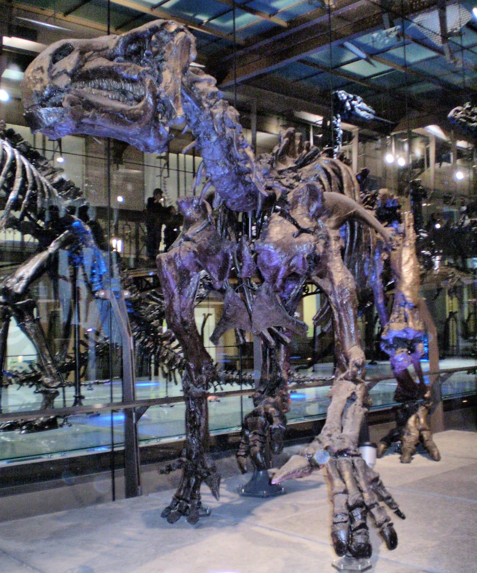 Bernissart Iguanodons (RBINS, Brussels) Fossil Hunting GuideIguanodon bernissartensis (articulated skeletons), Mantellisaurus atherfieldensis
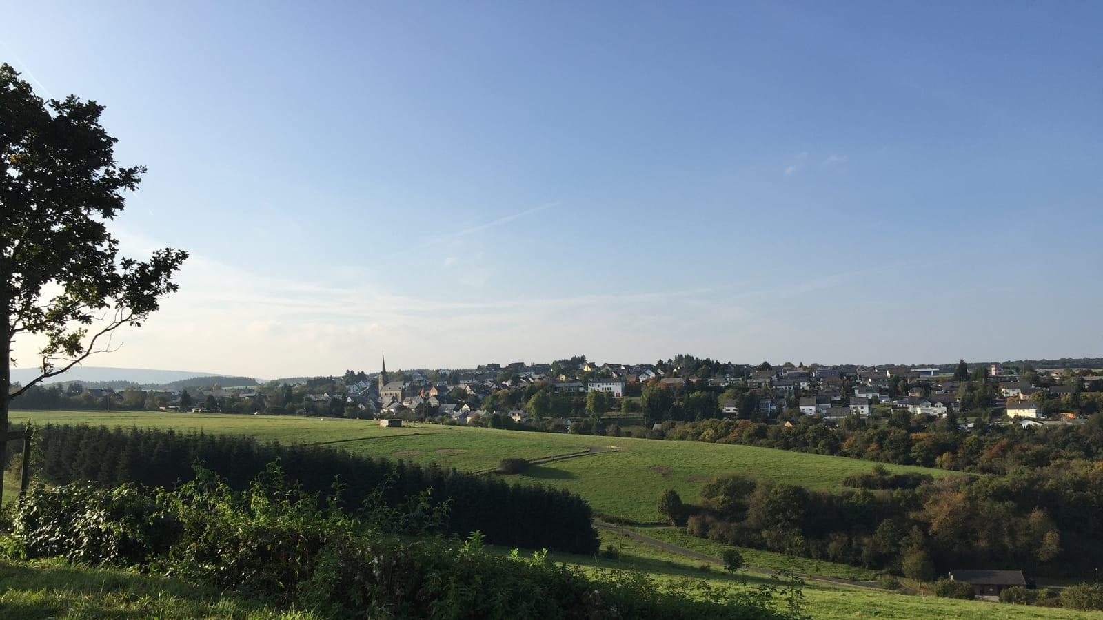 Herrenberg Mine Bundenbach Underground Fossil Hunting GuideDevonian marine fossils, Crinoids
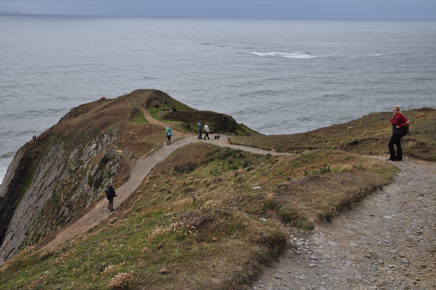 Baggy Point Fossil Hunting GuideBrachiopods, Bivalves
 Valentia Island Tetrapod Trackway Fossil Hunting GuideTrace fossils, Tetrapod trackways